High View Park in Arlington in Arlington County, Virginia — The American South (Mid-Atlantic)
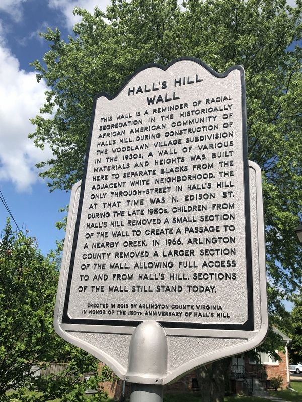
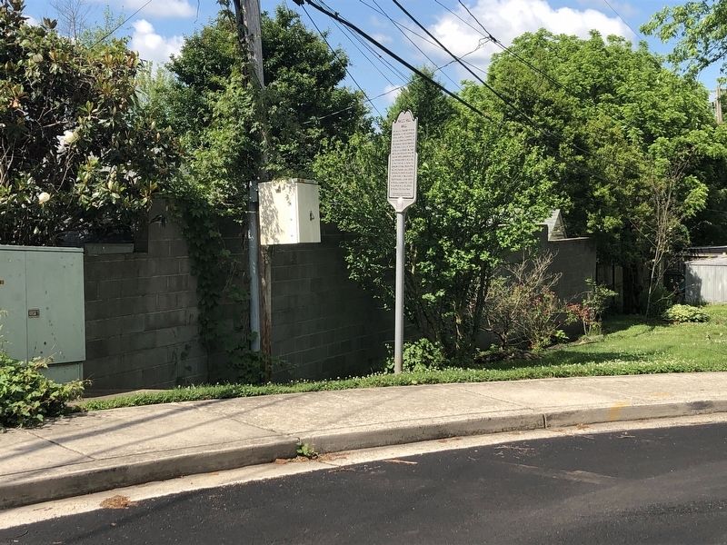
Hall's Hill Wall
Erected 2016 by Arlington County, Virginia in honor of the 150th anniversary of Hall's Hill.
Topics. This historical marker is listed in these topic lists: African Americans • Political Subdivisions • Settlements & Settlers • Waterways & Vessels. A significant historical year for this entry is 1966.
Location. 38° 53.454′ N, 77° 7.315′ W. Marker is in Arlington, Virginia, in Arlington County. It is in High View Park. Marker is on 17th Road North west of North Culpeper Street, on the left when traveling west. Touch for map. Marker is at or near this postal address: 4715 17th Road North, Arlington VA 22207, United States of America. Touch for directions.
Other nearby markers. At least 8 other markers are within walking distance of this marker. Mt. Olivet Methodist Church (approx. 0.2 miles away); The Glebe of Fairfax Parish (approx. ¼ mile away); Wunder's Crossroads (approx. half a mile away); Ballston Metro / The Blue Goose (approx. 0.6 miles away); Arlington County in 1921 / John M. Walton, Architect (approx. 0.6 miles away); Trolleys Come to Ballston / CIA Occupies the Building (approx. 0.6 miles away); Glebe Road & Ballston / Marymount University (approx. 0.6 miles away); Lacey Car Barn (approx. 0.7 miles away). Touch for a list and map of all markers in Arlington.
Credits. This page was last revised on February 1, 2023. It was originally submitted on May 27, 2019. This page has been viewed 897 times since then and 72 times this year. Last updated on October 10, 2020. Photos: 1, 2. submitted on May 27, 2019, by Devry Becker Jones of Washington, District of Columbia.

