Near Lyons in Cook County, Illinois — The American Midwest (Great Lakes)
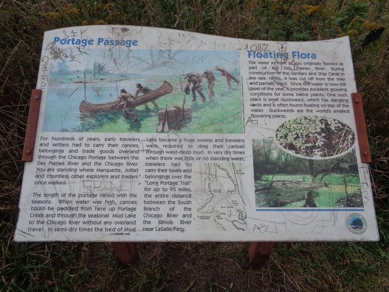
Portage Passage
The length of the portage varied with the seasons. When water was high, canoes could be paddled from here up Portage Creek and through the seasonal Mud Lake to the Chicago River without any overland travel. In semi-dry times the bed of Mud Lake became a huge swamp and travelers were required to drag their canoes through waist-deep mud. In very dry times when there was little or no standing water, travelers had to carry their boats and belongings over the "Long Portage Trail" for up to 95 miles, the entire distance between the South Branch of the Chicago River and the Illinois River near LaSalle/Peru.
Floating Flora
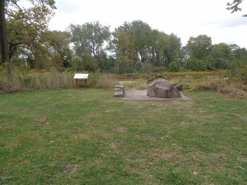
The water in front of you originally flowed as part of the Des Plaines River. During construction of the Sanitary and Ship Canal in the late 1890s, it was cut off from the river and partially filled. Since this water is now still most of the year, it provides excellent growing conditions for some native plants. One such plant is small duckweed, which has dangling roots and is often found floating on top of the water. Duckweeds are the world's smallest flowering plants.
Erected by Forest Preserve District of Cook County.
Topics. This historical marker is listed in these topic lists: Exploration • Waterways & Vessels.
Location. 41° 48.239′ N, 87° 48.226′ W. Marker is near Lyons, Illinois, in Cook County. Marker can be reached from South Harlem Avenue (Illinois Route 43) south of Forest View Terminal Drive. Marker is located in the Portage Woods and Trail. Touch for map. Marker is in this post office area: Lyons IL 60534, United States of America. Touch for directions.
Other nearby markers. At least 8 other markers are within 2 miles of this marker, measured as the crow flies. Portage Creek Passage (about 400 feet away, measured in a direct line); The Chicago Portage (about 600 feet away); Laughton's Trading Post (approx. half a mile away); Veterans Memorial (approx. 1.3 miles away); Eating on the Run (approx. 1.4 miles away); The Hofmann Dam (approx. 1˝ miles away); Cruising the Strip (approx. 1˝ miles away); Old River-Crossing (approx. 1.6 miles away). Touch for a list and map of all markers in Lyons.
Credits. This page was last revised on January 30, 2023. It was originally submitted on October 11, 2020, by Jason Voigt of Glen Carbon, Illinois. This page has been viewed 252 times since then and 38 times this year. Photos: 1, 2. submitted on October 11, 2020, by Jason Voigt of Glen Carbon, Illinois.

