Bluemont in Loudoun County, Virginia — The American South (Mid-Atlantic)
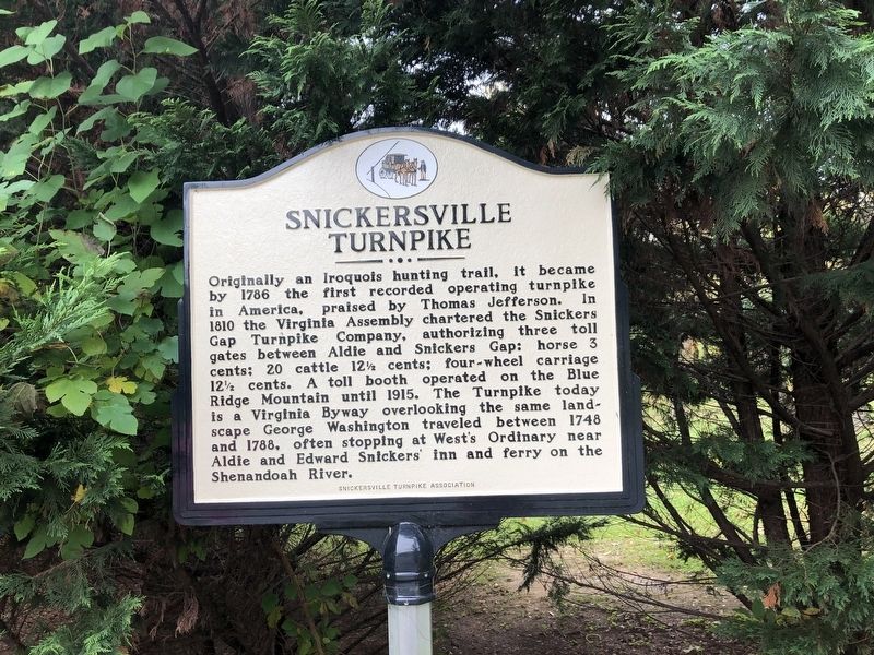
Snickersville Turnpike
Erected by Snickersville Turnpike Association.
Topics. This historical marker is listed in these topic lists: Animals • Industry & Commerce • Native Americans • Roads & Vehicles. A significant historical year for this entry is 1786.
Location. 39° 6.667′ N, 77° 50.07′ W. Marker is in Bluemont, Virginia, in Loudoun County. Marker is at the intersection of Snickersville Turnpike (Virginia Route 734) and Clayton Hall Road (Virginia Route 760), on the right when traveling east on Snickersville Turnpike. Touch for map. Marker is at or near this postal address: 33704 Snickersville Turnpike, Bluemont VA 20135, United States of America. Touch for directions.
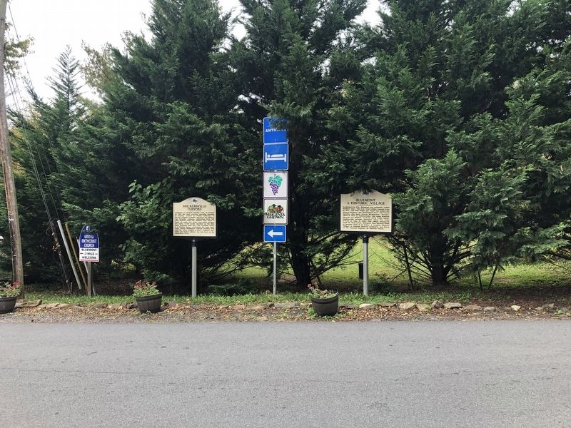
Other nearby markers. At least 8 other markers are within one mile of this marker, measured as the crow flies. Bluemont (here, next to this marker); Bluemont Historic District (a few steps from this marker); The Snickersville Academy (within shouting distance of this marker); The Lives And Times Of The Snickersville Academy (about 400 feet away, measured in a direct line); a different marker also named Snickersville Turnpike (approx. 0.4 miles away); Mt. Airy Fight (approx. ¾ mile away); Lt. Col. Roger Preston Chew (1843-1921) (approx. 0.8 miles away); Appalachian Trail and Bears Den (approx. one mile away). Touch for a list and map of all markers in Bluemont.
Credits. This page was last revised on October 11, 2020. It was originally submitted on October 11, 2020, by Devry Becker Jones of Washington, District of Columbia. This page has been viewed 274 times since then and 29 times this year. Photos: 1, 2. submitted on October 11, 2020, by Devry Becker Jones of Washington, District of Columbia.

