
Elizabethton in Carter County, Tennessee — The American South (East South Central)
Powder Branch
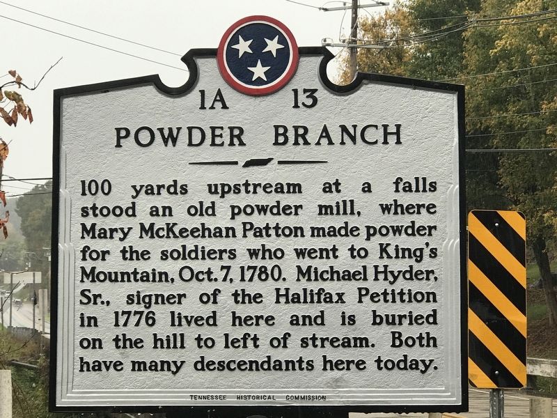
Photographed by Duane and Tracy Marsteller, October 10, 2020
1. Powder Branch Marker
Erected by Tennessee Historical Commission. (Marker Number 1A 13.)
Topics and series. This historical marker is listed in these topic lists: Industry & Commerce • War, US Revolutionary • Women. In addition, it is included in the Tennessee Historical Commission series list. A significant historical date for this entry is October 7, 1780.
Location. 36° 19.097′ N, 82° 16.803′ W. Marker is in Elizabethton, Tennessee, in Carter County. It is at the intersection of Milligan Highway (State Highway 359) and Powder Branch Road (State Highway 2558), on the right when traveling east on Milligan Highway. Touch for map. Marker is at or near this postal address: 102 Sparks Rd, Johnson City TN 37601, United States of America. Touch for directions.

Regionally, this marker is in East Tennessee and in the Tri-Cities Area. It is
this page online
Other nearby markers. At least 8 other markers are within walking distance of this marker: Mary Patton's Powder Mill (about 800 feet away, measured in a direct line); Hauling Ore from the Cranberry Mine (approx. 0.6 miles away); Constructing a Mountain Railroad (approx. 0.6 miles away); Cranberry Furnace Company Quarry (approx. 0.6 miles away); Buffalo Creek (approx. 0.6 miles away); Sabine Hill (approx. 0.8 miles away); a different marker also named Sabine Hill (approx. 0.9 miles away); Restoration of Sabine Hill (approx. 0.9 miles away). Touch for a list and map of all markers in Elizabethton.
Also see . . . Mary McKeehan Patton. Tennessee Encyclopedia entry on the pioneer female gunpowder
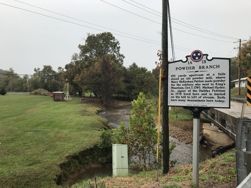
Photographed by Duane and Tracy Marsteller, October 10, 2020
2. Powder Branch Marker
Credits. This page was last revised on October 13, 2020. It was originally submitted on October 13, 2020, by Duane and Tracy Marsteller of Murfreesboro, Tennessee. This page has been viewed 2,084 times since then and 159 times this year. Photos: 1, 2. submitted on October 13, 2020, by Duane and Tracy Marsteller of Murfreesboro, Tennessee. • Devry Becker Jones was the editor who published this page.
