Bend in Deschutes County, Oregon — The American West (Northwest)
Bend Dam and Powerhouse
Built: 1910, 1913
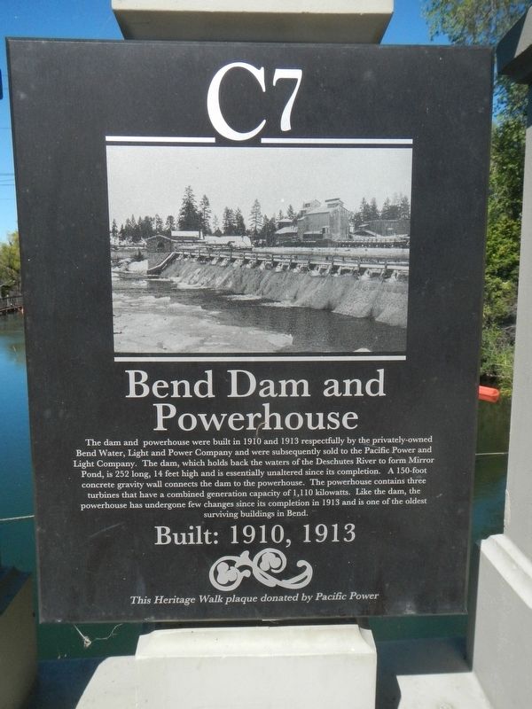
Photographed by Barry Swackhamer, August 9, 2020
1. Bend Dam and Powerhouse Marker
Erected by Deschutes Historical Museum. (Marker Number C7.)
Topics and series. This historical marker is listed in this topic list: Man-Made Features. In addition, it is included in the Bend Heritage Walk series list.
Location. 44° 3.673′ N, 121° 18.857′ W. Marker is in Bend, Oregon, in Deschutes County. It is on Northwest Newport Avenue near Northwest Brooks Street, on the right when traveling west. Touch for map. Marker
this page online

Regionally, this marker is in the High Desert. It is also in the American Mountain West and in the Lewis & Clark Corridor. Globally, it is in North America, in the Cascade Range, on the Ring of Fire, on the Pacific Rim, in the Western Hemisphere, in the Western World, and in the Anglosphere.
Other nearby markers. At least 8 other markers are within walking distance of this marker: Bend Veterans Peace Memorial (about 300 feet away, measured in a direct line); Historic Pilot Butte Inn (about 400 feet away); Pine Tavern (about 500 feet away); Capitol Theatre (about 500 feet away); Pilot Butte Inn Site (about 500 feet away); Pringle Block (about 500 feet away); Eddie's Sales & Service (about 600 feet away); N.P Smith Pioneer Hardware (about 700 feet away). Touch for a list and map of all markers in Bend.
More about this marker. This marker is located on the Newport Avenue bridge.
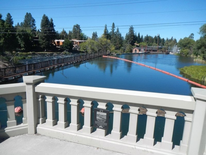
Photographed by Barry Swackhamer, August 9, 2020
2. Bend Dam and Powerhouse and Marker
Credits. This page was last revised on October 14, 2020. It was originally submitted on October 14, 2020, by Barry Swackhamer of Brentwood, California. This page has been viewed 1,337 times since then and 121 times this year. Photos: 1, 2. submitted on October 14, 2020, by Barry Swackhamer of Brentwood, California.
