Radium Springs in Doña Ana County, New Mexico — The American Mountains (Southwest)
A Diversion Dam for the Valley
Una presa de desviación para el valle
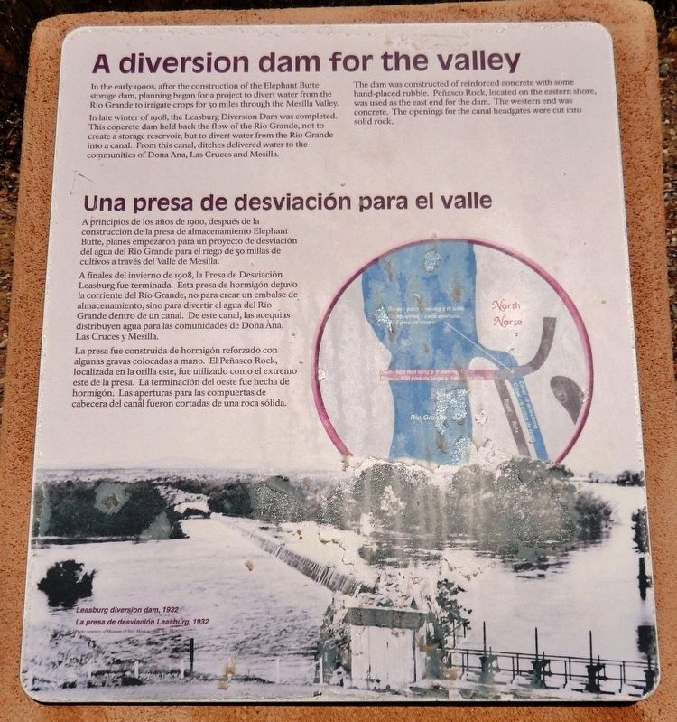
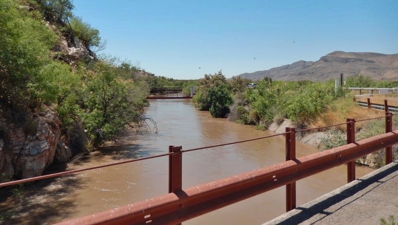
In the early 1900s, after the construction of the Elephant Butte storage dam, planning began for a project to divert water from the Rio Grande to irrigate crops for 50 miles through the Mesilla Valley.
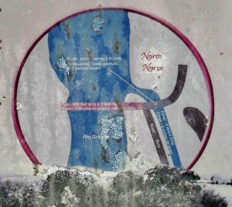
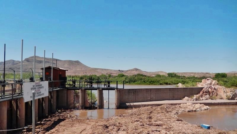
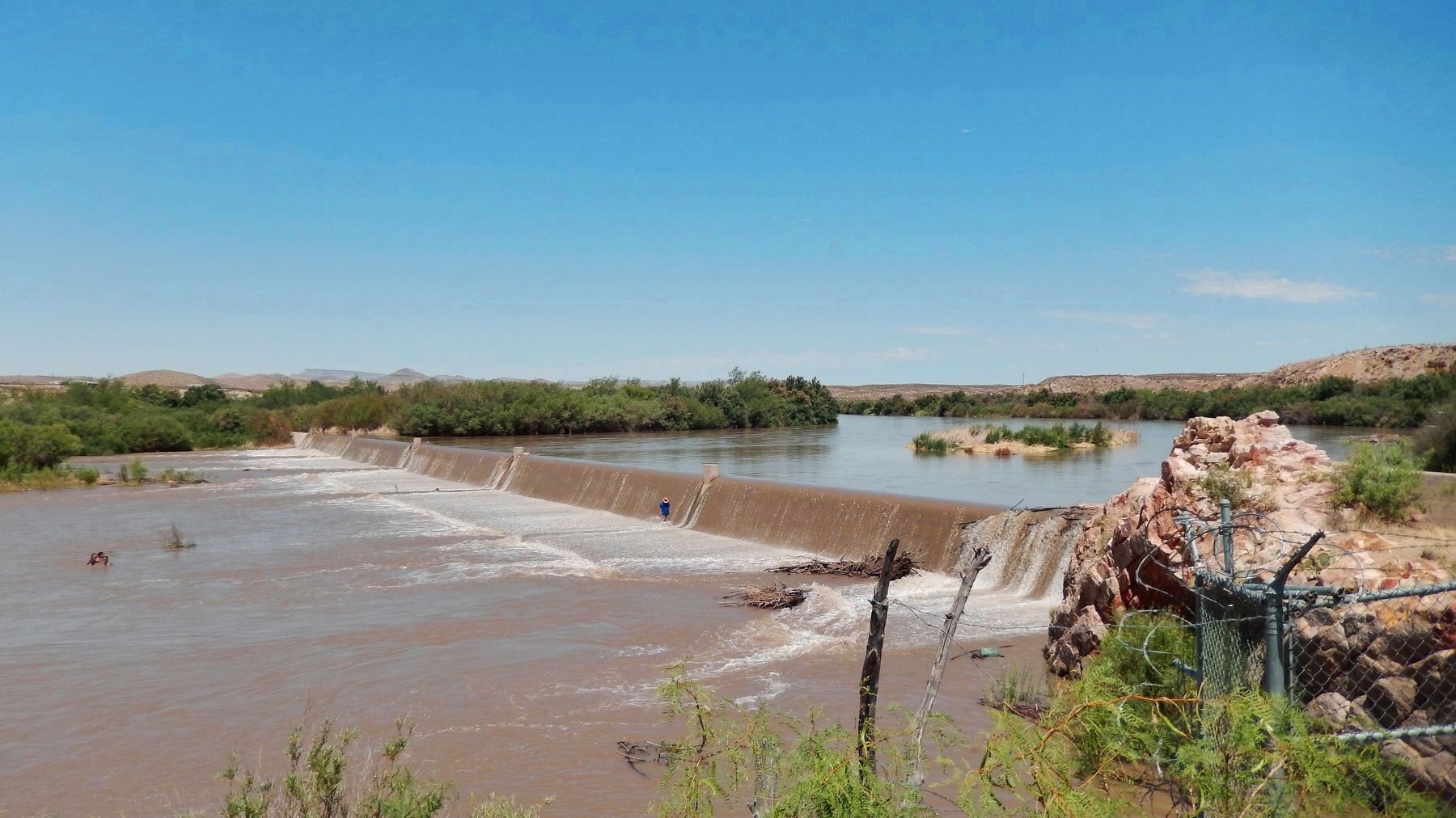
In late winter of 1908, the Leasburg Diversion Dam was completed. This concrete dam held back the flow of the Rio Grande, not to create a storage reservoir, but to divert water from the Rio Grande into a canal. From this canal, ditches delivered water to the communities of Dona Ana, Las Cruces and Mesilla.
The dam was constructed of reinforced concrete with some hand-placed rubble. Peñasco Rock, located on the eastern shore, was used as the cast end for the dam. The western end was concrete. The openings for the canal headgates were cut into solid rock.
[background photo caption]
Leasburg diversion dam, 1932
A principios de los años de 1900, después de la construcción de la presa de almacenamiento Elephant Butte, planes empezaron para un proyecto de desviación del agua del Río Grande para el riego de 50 millas de cultivos a través del Valle de Mesilla.
A finales del invierno de 1908, la Presa de Desviación Leasburg fue terminada. Esta presa de hormigón detuvo la corriente del Río Grande, no para crear un embalse de almacenamiento, sino para divertir el agua del Río Grande dentro de un canal. De este canal, las acequias distribuyen agua para las comunidades de Doña Ana, Las Cruces y Mesilla.
La presa fue construida de hormigón reforzado con algunas gravas colocadas a mano. El Peñasco Rock, localizada en la orilla este, fue utilizado como el extremo este de la presa. La terminación del oeste fue hecha de hormigón. Las aperturas para las compuertas de cabecera del canal fueron cortadas de una roca sólida.
[pie de foto de fondo]
La presa de desviación de Leasburg, 1932
Topics. This historical marker is listed in these topic lists: Agriculture • Waterways & Vessels. A significant historical year for this entry is 1908.
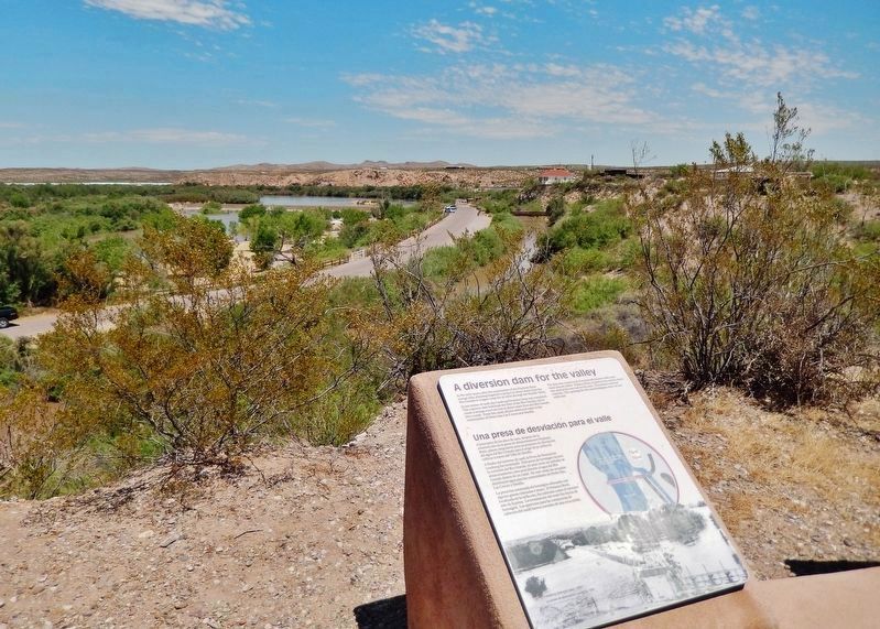
Location. 32° 29.667′ N, 106° 55.258′ W. Marker is in Radium Springs, New Mexico, in Doña Ana County. Marker can be reached from Dona Ana Road, 0.9 miles north of Fort Selden Road, on the right when traveling north. Marker is located along the Upper Mogollon Trail in Leasburg Dam State Park, overlooking the Leasburg Canal and the Rio Grande River. Touch for map. Marker is in this post office area: Radium Springs NM 88054, United States of America. Touch for directions.
Other nearby markers. At least 8 other markers are within 4 miles of this marker, measured as the
crow flies. Rio Grande Bosque (here, next to this marker); Changing Upland Plants (here, next to this marker); Rio Grande Means Life (approx. 0.2 miles away); History in Your Imagination (approx. 0.2 miles away); Fort Selden Cemetery (approx. 0.4 miles away); Rio Grandé Bridge at Radium Springs (approx. 0.6 miles away); Paraje de Robledo (approx. 0.8 miles away); Paraje San Diego (approx. 3.9 miles away). Touch for a list and map of all markers in Radium Springs.
Regarding A Diversion Dam for the Valley. Contributing property, Elephant Butte Irrigation District, National Register of Historic Places #97000822.
Also see . . . New Mexico: Leasburg Diversion Dam. Leasburg Diversion Dam holds the distinction of being the first dam completed on the Bureau of Reclamation’s historic Rio Grande Project, which brought irrigation to the arid sagebrush and mesquite lands of west Texas and southeastern New Mexico. (Submitted on October 17, 2020, by Cosmos Mariner of Cape Canaveral, Florida.)
Credits. This page was last revised on October 17, 2020. It was originally submitted on October 14, 2020, by Cosmos Mariner of Cape Canaveral, Florida. This page has been viewed 139 times since then and 12 times this year. Photos: 1, 2, 3, 4, 5, 6. submitted on October 17, 2020, by Cosmos Mariner of Cape Canaveral, Florida.
