Ticonderoga in Essex County, New York — The American Northeast (Mid-Atlantic)
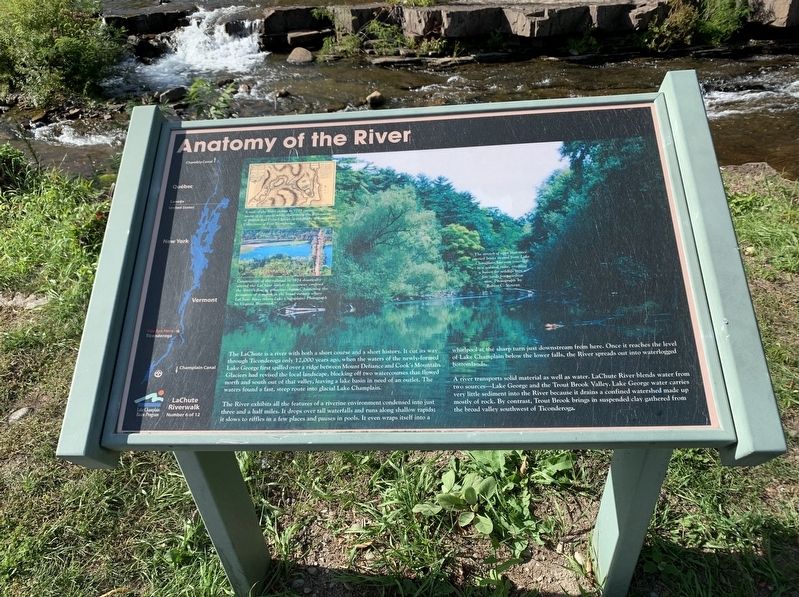
Anatomy of the River
LaChute Riverwalk
The LaChute is a river with both a short course and a short history. It cut its way through Ticonderoga only 12,000 years ago, when the waters of the newly-formed Lake George first spilled over a ridge between Mount Defiance'and Cook's Mountain. Glaciers had revised the local landscape, blocking off two water courses that flow and south out that valley, leaving a lake basin in need of an outlet. The waters found a fast steep route into glacial Lake Champlain.
The River exhibits all the features of a riverine environment condensed into just three and a half miles. It drops over tall waterfalls and runs along shallow rapids; it slows to riffles in a few places and pauses in pools. It even wraps itself into a whirlpool at the sharp turn just downstream from here. Once it reaches the level of Lake Champlain below the lower falls, the River spreads out into waterlogged bottomlands.
A river transports solid material as well as water. LaChute River blends water from two sources - Lake George and the Trout Brook Valley. Lake George water carries very little sediment into the River because it drains a confined watershed made up mostly of rock. By contrast, Trout Brook brings in suspended clay gathered from the broad valley southwest of Ticonderoga.
Upper Left Inset: A map of the River drawn in 1758 captures, the sweep of its course while illustrating the deployment of British and French forces at the Battle of Carillan Collections of Fort Ticonderoga.
Lower Left Inset: Construction of the railroad in 1874 drastically altered the LaChute outlet. A causeway confined the River's flouto a narrow channel, hastening the formation of a marsh in the broad estuary where LaChute River meets Lake Champlain. Photograph by Virginia Westbrooks
Main Picture Caption in the Upper Right: The stretch of river that once carried boats to and from Lake Champlain has now reverted to a natural state, creating a haven for wildlife just few yards from civilization . Photograph by Robert C. Stevens.
Erected by Lake Champlain Basin Program. (Marker Number 6.)
Topics. This historical marker is listed in these topic lists: Environment • Waterways & Vessels. A significant historical year for this entry is 1758.
Location. 43° 51.02′ N, 73° 25.457′ W. Marker is in Ticonderoga, New York, in Essex County. Marker can be reached from Adirondack Park, 0.1 miles east of Carnegie Place, on the left when traveling east. Touch for map. Marker is in this post office area: Ticonderoga NY 12883, United States of America. Touch for directions.
Other nearby markers. At least 8 other markers are within walking distance of this marker. Island Mill (about 300 feet away, measured in a direct line); Richards' Dam (about 500 feet away); Crossroads of a Community (about 500 feet away); Hon. Clayton Harris DeLano (about 800 feet away); Tower Avenue Grindstones (approx. 0.2 miles away); Lakes to Locks Passage (approx. 0.2 miles away); a different marker also named Lakes to Locks Passage (approx. 0.2 miles away); Rivière de La Chute (approx. 0.2 miles away). Touch for a list and map of all markers in Ticonderoga.
Credits. This page was last revised on October 15, 2020. It was originally submitted on October 14, 2020, by Steve Stoessel of Niskayuna, New York. This page has been viewed 245 times since then and 42 times this year. Photos: 1, 2. submitted on October 14, 2020, by Steve Stoessel of Niskayuna, New York. • Michael Herrick was the editor who published this page.

