Elizabethton in Carter County, Tennessee — The American South (East South Central)
Samuel Tipton
Founder of Elizabethton
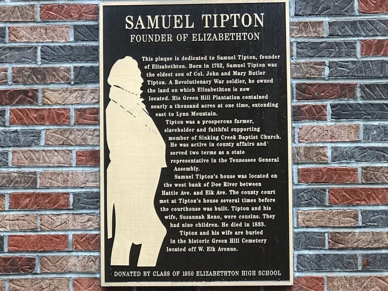
This plaque is dedicated to Samuel Tipton, founder of Elizabethton. Born in 1752, Samuel Tipton was the eldest son of Col. John and Mary Butler Tipton. A Revolutionary War soldier, he owned the land on which Elizabethton is now located. His Green Hill Plantation contained nearly a thousand acres at one time, extending east to Lynn Mountain.
Tipton was a prosperous farmer, slaveholder and faithful supporting member of Sinking Creek Baptist Church. He was active in county affairs and served two terms as a state representative in the Tennessee General Assembly.
Samuel Tipton's house was located on the west bank of Doe River between Hattie Ave. and Elk Ave. The county court met at Tipton's house several times before the courthouse was built. Tipton and his wife, Susannah Reno, were cousins. They had nine children. He died in 1833.
Tipton and his wife are buried in the historic Green Hill Cemetery located off W. Elk Avenue.
Erected by Elizabethton High School Class of 1950.
Topics. This historical marker is listed in these topic lists: Agriculture • Industry & Commerce • Settlements & Settlers. A significant historical year for this entry is 1752.
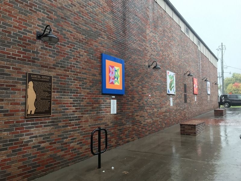
Location. 36° 20.877′ N, 82° 12.84′ W. Marker is in Elizabethton , Tennessee, in Carter County. Marker is on East Elk Avenue east of South Sycamore Street, on the right when traveling east. Marker is in a plaza between two buildings. Touch for map. Marker is at or near this postal address: 610 East Elk Avenue, Elizabethton TN 37643, United States of America. Touch for directions.
Other nearby markers. At least 8 other markers are within walking distance of this marker. Betsy Walkway (here, next to this marker); Burgie Drug (a few steps from this marker); City of Elizabethton Bicentennial (a few steps from this marker); Barnes Boring Hardware (within shouting distance of this marker); Old Post Office (within shouting distance of this marker); Public Library (about 500 feet away, measured in a direct line); First Court West of the Alleghenies (about 500 feet away); Covered Bridge (about 600 feet away). Touch for a list and map of all markers in Elizabethton.
Additional keywords. slave labor; enslavement; human trafficking
Credits. This page was last revised on October 14, 2020. It was originally submitted on October 14, 2020, by Duane and Tracy Marsteller of Murfreesboro, Tennessee. This page has been viewed 418 times since then and 40 times this year. Photos: 1, 2. submitted on October 14, 2020, by Duane and Tracy Marsteller of Murfreesboro, Tennessee. • Devry Becker Jones was the editor who published this page.

