Near Markley in Archer County, Texas — The American South (West South Central)
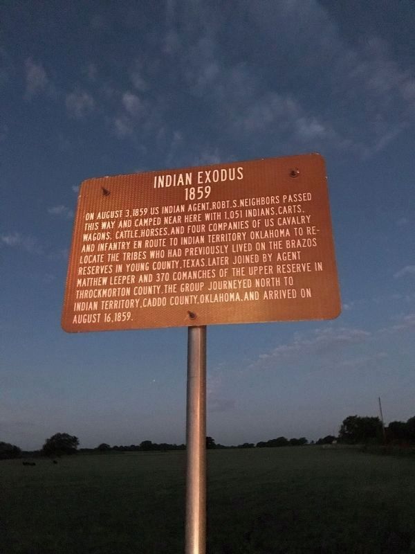
Indian Exodus 1859
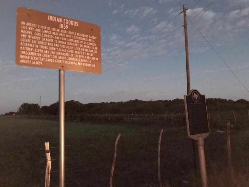
On August 3, 1859 US Indian Agent Robt. S. Neighbors passed this way and camped near here with 1,051 Indians, carts, wagons, cattle, horses and four companies of US Cavalry and Infantry en route to Indian Territory Oklahoma to relocate the tribes who had previously lived on the Brazos Reserves in Young County, Texas. Later joined by Agent Matthew Leeper and 370 Comanches of the Upper Reserve in Throckmorton County. The group journeyed north to Indian Territory, Caddo County, Oklahoma and arrived on August 16, 1859.
Topics. This historical marker is listed in this topic list: Wars, US Indian. A significant historical date for this entry is August 3, 1859.
Location. 33° 25.858′ N, 98° 27.448′ W. Marker is near Markley, Texas, in Archer County. Marker is at the intersection of State Highway 16 and Prideaux Road, on the right when traveling south on State Highway 16. Touch for map. Marker is in this post office area: Windthorst TX 76389, United States of America. Touch for directions.
Other nearby markers. At least 8 other markers are within 15 miles of this marker, measured as the crow flies. The Stone Houses (a few steps from this marker); Markley Cemetery Decoration Day (approx. 4˝ miles away); Site of Loving Ranch House (approx. 11.7 miles away); Community of Jermyn (approx. 12.2 miles away); First Methodist Church Jermyn, Texas (approx. 12.4 miles away); Archer County (approx. 13 miles away); Sheriff E. Harrison Ikard (approx. 14.9 miles away); Camp Cureton, C.S.A. (approx. 14.9 miles away). Touch for a list and map of all markers in Markley.
Also see . . .
1. Indian Affairs. TSHA Texas State Historical Association (Submitted on October 14, 2020, by James Hulse of Medina, Texas.)
2. Indian Territory. Wikipedia (Submitted on October 14, 2020, by James Hulse of Medina, Texas.)
Credits. This page was last revised on October 15, 2020. It was originally submitted on October 14, 2020, by James Hulse of Medina, Texas. This page has been viewed 307 times since then and 11 times this year. Photos: 1, 2, 3. submitted on October 14, 2020, by James Hulse of Medina, Texas. • J. Makali Bruton was the editor who published this page.


