Near Bandera in Bandera County, Texas — The American South (West South Central)
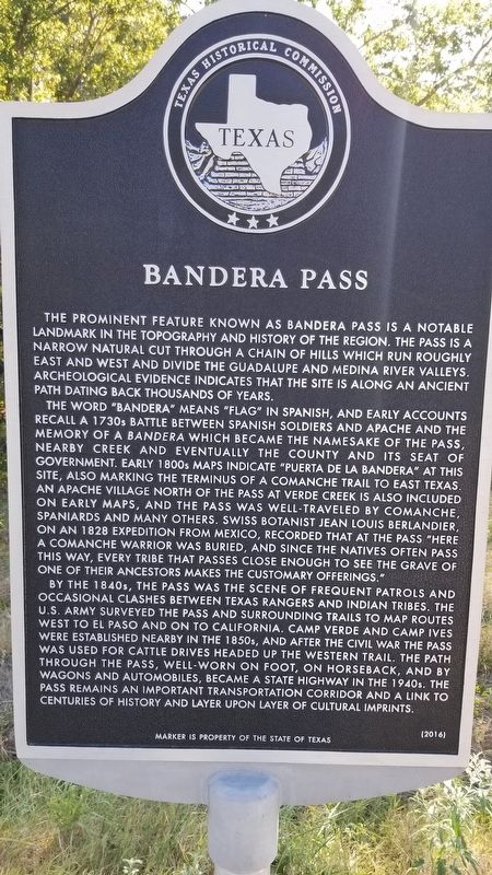
Bandera Pass
The prominent feature known as Bandera Pass is a notable landmark in the topography and history of the region. The pass is a narrow natural cut through a chain of hills which run roughly east and west and divide the Guadalupe and Medina river valleys. Archeological evidence indicates that the site is along an ancient path dating back thousands of years.
The word "Bandera" means "Flag" in Spanish, and early accounts recall a 1730s battle between Spanish soldiers and Apache and the memory of a bandera which became the namesake of the pass, nearby creek and eventually the county and its seat of government. Early 1800s maps indicate "Puerta de la bandera" at this site, also marking the terminus of a Comanche trail to East Texas. An Apache village north of the pass at Verde Creek is also included on early maps, and the pass was well-traveled by Comanche, Spaniards and many others. Swiss botanist Jean Louis Berlandier, on an 1828 expedition from Mexico, recorded that at the pass "Here a Comanche warrior was buried, and since the natives often pass this way, every tribe that passes close enough to see one of their ancestors makes the customary offerings".
By the 1840s, the pass was the scene of frequent patrols and occasional clashes between Texas Rangers and Indian tribes. The U.S. Army surveyed the pass and surrounding trails to map routes west to El Paso and on to California. Camp Verde and Camp Ives were established nearby in the 1850s, and after the Civil War the pass was used for cattle drives headed up the Western Trail. The path through the pass, well-worn on foot, on horseback, and by wagons and automobiles, became a state highway in the 1940s, the pass remains an important transportation corridor and a link to centuries of history and layer upon layer of cultural imprints.
Marker is property of the State of Texas
Erected 2016 by Texas Historical Commission. (Marker Number 18414.)
Topics. This historical marker is listed in these topic lists: Exploration • Industry & Commerce • Settlements & Settlers • Wars, US Indian. A significant historical year for this entry is 1828.
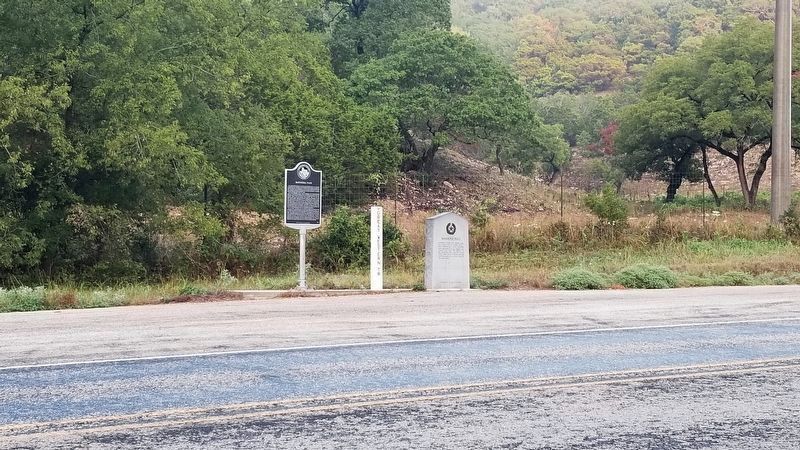
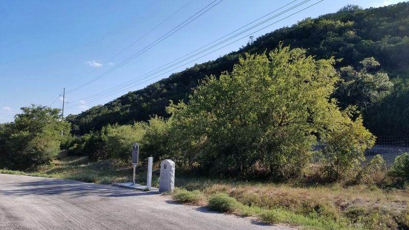
Location. 29° 51.539′ N, 99° 6.347′ W. Marker is near Bandera, Texas, in Bandera County. Marker is on State Highway 173, one mile north of Farm to Market Road 2828, on the left when traveling north. Touch for map. Marker is in this post office area: Bandera TX 78003, United States of America. Touch for directions.
Other nearby markers. At least 8 other markers are within 7 miles of this marker, measured as the crow flies. A different marker also named Bandera Pass (a few steps from this marker); Site of Camp Verde (approx. 2.3 miles away); One Mile to Ruins of Camp Verde
(approx. 2.4 miles away); Penateka Comanches (approx. 2.4 miles away); Camps Verde C.S.A. (approx. 2.4 miles away); Camp Verde General Store and Post Office (approx. 2.4 miles away); Center Point Cemetery (approx. 6.7 miles away); N.O. Reynolds (approx. 6.7 miles away).
Also see . . .
1. Battle of Bandera Pass and the Making of the Lone Star Legend. Not Even Past website (Submitted on October 15, 2020, by James Hulse of Medina, Texas.)
2. Bandera Pass. TSHA Texas State Historical Association (Submitted on October 15, 2020, by James Hulse of Medina, Texas.)
3. Western Trail. TSHA Texas State Historical Association (Submitted on October 15, 2020, by James Hulse of Medina, Texas.)
Credits. This page was last revised on October 15, 2020. It was originally submitted on October 15, 2020, by James Hulse of Medina, Texas. This page has been viewed 672 times since then and 93 times this year. Photos: 1, 2, 3. submitted on October 15, 2020, by James Hulse of Medina, Texas. • J. Makali Bruton was the editor who published this page.


