Near Dayville in Grant County, Oregon — The American West (Northwest)
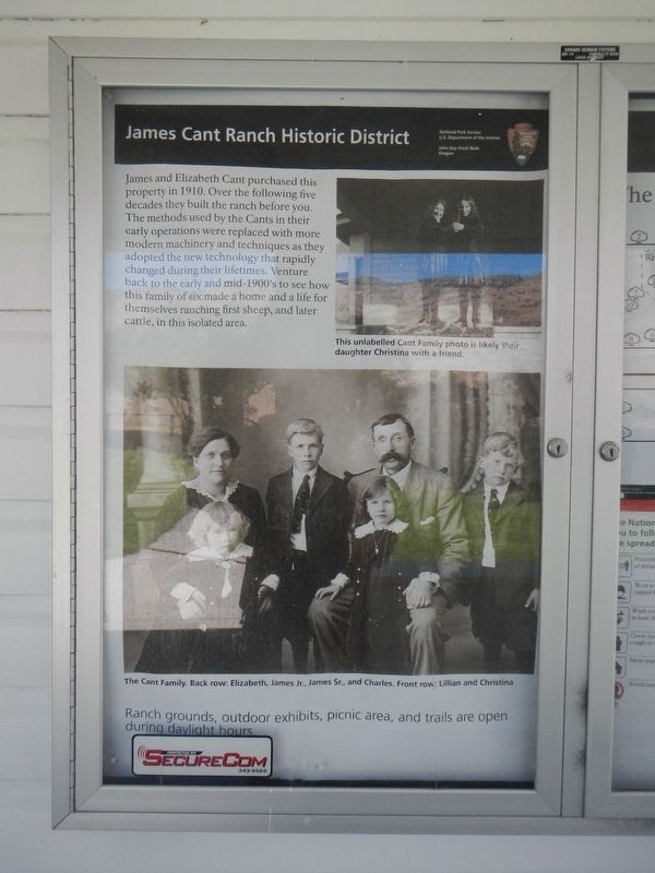
James Cant Ranch Historic District
Photographed by Barry Swackhamer, August 10, 2020
1. Cant Ranch Marker
Ranch grounds, outdoor exhibits, picnic area, and trails are open during daylight hours.
Erected by National Park Service.
Topics. This historical marker is listed in these topic lists: Agriculture • Settlements & Settlers.
Location. 44° 33.31′ N, 119° 38.693′ W. Marker is near Dayville, Oregon, in Grant County. It is on State Highway 19 near U.S. 26, on the right when traveling north. The marker is located on the Cant Ranch property. Touch for map. Marker is at or near this postal address: 32651 Oregon Highway 19, Dayville OR 97825, United States of America. Touch for directions.

Regionally,
this page online
Other nearby markers. At least 8 other markers are within walking distance of this marker: A different marker also named James Cant Ranch Historic District (within shouting distance of this marker); Welcome to the John Day River (within shouting distance of this marker); On the Road of History (within shouting distance of this marker); Haystacker (about 300 feet away, measured in a direct line); Lifeblood of a Ranch (about 400 feet away); Shearing the Sheep (about 400 feet away); Wool Bag Stand (about 400 feet away); An Oregon Fossil Rush (approx. 0.2 miles away). Touch for a list and map of all markers in Dayville.
Photographed by Barry Swackhamer, August 10, 2020
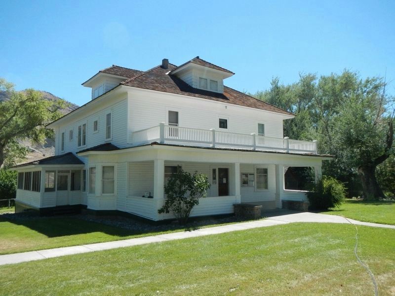
2. James Cant Ranch house and Marker
The marker is on the porch to the left of the entrance.
Photographed by Barry Swackhamer, August 10, 2020
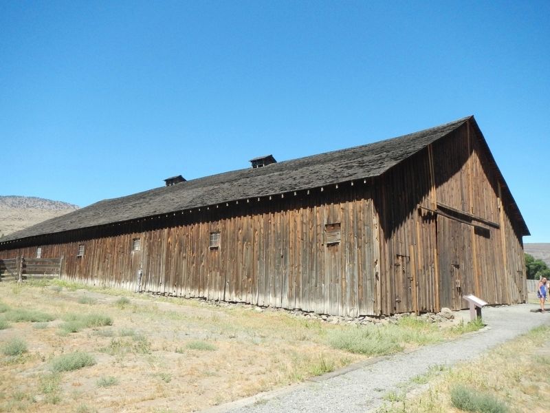
3. Cant Ranch barn
Credits. This page was last revised on January 25, 2021. It was originally submitted on October 16, 2020, by Barry Swackhamer of Brentwood, California. This page has been viewed 386 times since then and 53 times this year. Photos: 1, 2, 3. submitted on October 16, 2020, by Barry Swackhamer of Brentwood, California.
