Comanche in Comanche County, Texas — The American South (West South Central)
The Comanche
Inscription.
The Comanche emerged as a distinct group around 1680 when they broke off from the Shoshone People of Wyoming and acquired horses from the Pueblo Indians after the Pueblo revolt. They were so skillful in horsemanship that they had no equal. They were experts in breaking feral horses. The Comanches territory included Kansas, Oklahoma, New Mexico, Colorado and Texas. They were fierce warriors and forced both the Lipan and Mescalero Apache out of Texas. They took thousands of captives from Spanish, Mexican and American settlers.
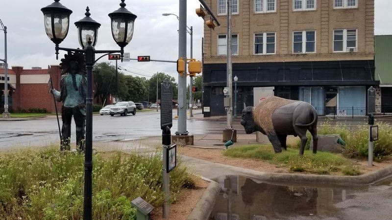
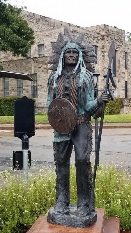
Comanche County was created in 1856, its name chosen by Colonel John Henry Brown who represented the territory which made up the new county. Pictured below is the last great Comanche War Chief Quanah Parker, whose mother Cynthia Ann Parker, was a Comanche captive.
Erected by Comanche County Historical Society.
Topics. This historical marker is listed in this topic list: Wars, US Indian. A significant historical year for this entry is 1680.
Location. 31° 53.855′ N, 98° 36.243′ W. Marker is in Comanche, Texas, in Comanche County. Marker is at the intersection of North Austin Street (State Highway 16) and West Central Avenue, on the left when traveling north on North Austin Street. Touch for map. Marker is in this post office area: Comanche TX 76442, United States of America. Touch for directions.
Other nearby markers. At least 8 other markers are within walking distance of this marker. The Bison (American Buffalo) (a few steps from this marker); Confederate Veterans (within shouting distance of this marker); Veterans Memorial (within shouting distance of this marker); Water on South Side of Square (within shouting distance of this marker); Robert Thomas Hill (within shouting distance of this marker); General Ashbel Smith, C.S.A. (within shouting distance of this marker); Fleming Oak (within shouting distance of this marker); Indian Raid in Comanche (within shouting distance of this marker). Touch for a list and map of all markers in Comanche.
Also see . . . Comanche Chief Quanah Parker. Wikipedia (Submitted on October 16, 2020, by James Hulse of Medina, Texas.)
Credits. This page was last revised on October 17, 2020. It was originally submitted on October 16, 2020, by James Hulse of Medina, Texas. This page has been viewed 344 times since then and 39 times this year. Photos: 1, 2, 3. submitted on October 16, 2020, by James Hulse of Medina, Texas. • J. Makali Bruton was the editor who published this page.


