A Resting Place for the Weary
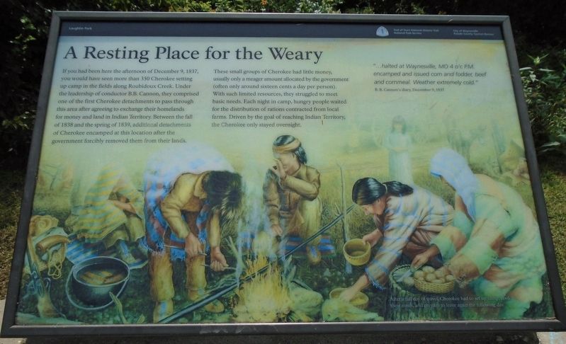
"...halted at Waynesville, MO o'c P.M. encamped and issued corn and fodder, beef and cornmeal. Weather extremely cold."
B. B. Cannon's diary, December 9, 1837
If you had been here the afternoon of December 9, 1837, you would have seen more than 350 Cherokee setting up camp in the fields along Roubidoux Creek. Under the leadership of conductor B.B. Cannon, they comprised one of the first Cherokee detachments to pass through this area after agreeing to exchange their homelands for money and land in Indian Territory. Between the fall of 1838 and the spring of 1839, additional detachments of Cherokee encamped at this location after the government forcibly removed them from their lands.
These small groups of Cherokee had little money, usually only a meager amount allocated by the government (often only around sixteen cents a day per person). With such limited resources, they struggled to meet basic needs. Each night in camp, hungry people waited for the distribution of rations contracted from local farms. Driven by the goal of reaching Indian Territory, the Cherokee only stayed overnight.
[Background illustration caption reads]
After a full day of travel, Cherokee had to set up camp, cook their meals, and prepare to leave again the following day.
Erected
Topics and series. This historical marker is listed in these topic lists: Civil Rights • Disasters • Native Americans. In addition, it is included in the Trail of Tears series list. A significant historical date for this entry is December 9, 1837.
Location. 37° 49.577′ N, 92° 12.214′ W. Marker is in Waynesville, Missouri, in Pulaski County. Marker is on Superior Road south of Old U.S. Route 66 (Business Interstate 44), on the right when traveling south. Marker is in Roy Laughlin Park. Touch for map. Marker is in this post office area: Waynesville MO 65583, United States of America. Touch for directions.
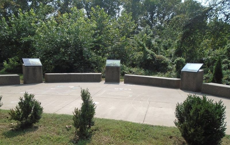
Other nearby markers. At least 8 other markers are within walking distance of this marker. A Trail of Tragedy (here, next to this marker); What is the Trail of Tears? (here, next to this marker); Discover a Hidden History (within shouting distance of this marker); A Road Through History (about 500 feet away, measured in a direct line); Waynesville Fort (approx. 0.2 miles away); A Frigid Crossing (approx. 0.2 miles away); Rigsby House and Standard Oil Station (approx. 0.2 miles away); Pulaski County (approx. 0.2 miles away). Touch for a list and map of all markers in Waynesville.
Also see . . .
1. Trail Of Tears National Historic Trail. (Submitted on October 16, 2020, by William Fischer, Jr. of Scranton, Pennsylvania.)
2. History of the Cherokee People. (Submitted on October 16, 2020, by William Fischer, Jr. of Scranton, Pennsylvania.)
3. Trail of Tears (Jack Baker talk on C-Span, 2020). (Submitted on October 16, 2020, by William Fischer, Jr. of Scranton, Pennsylvania.)
4. History of Waynesville, Missouri. (Submitted on October 16, 2020, by William Fischer, Jr. of Scranton, Pennsylvania.)
Credits. This page was last revised on October 16, 2020. It was originally submitted on October 16, 2020, by William Fischer, Jr. of Scranton, Pennsylvania. This page has been viewed 148 times since then and 18 times this year. Photos: 1, 2. submitted on October 16, 2020, by William Fischer, Jr. of Scranton, Pennsylvania.

