A Frigid Crossing
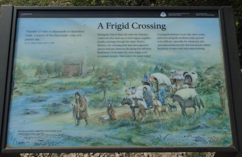
"Traveled 12 miles to Waynesville on Roberdeou Creek, a branch of the Gasconade—clear and present day..."
Dr. W. I. Morrow's diary, March 5, 1839
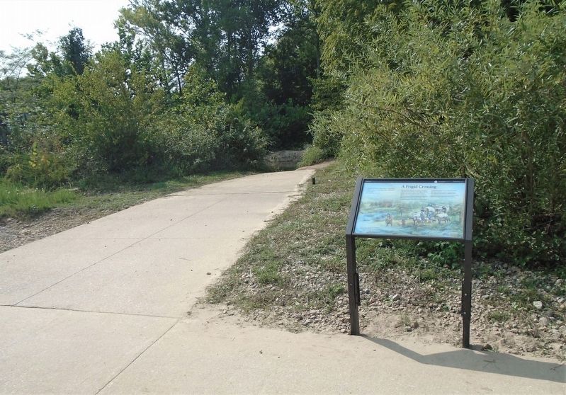
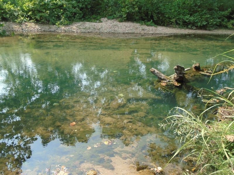
During the Trail of Tears, the only way Cherokee could cross the creek was to ford wagons, supplies, people, and dogs through the water. From a distance, the crossing point may have appeared narrow and easy. However, the spring that still feeds Roubidoux Creek made the water frigid, even in summer months. How cold is the water today?
Crossing Roubidoux Creek, like other creeks and rivers along the northern route, proved to be difficult, especially for exhausted, sick, and malnourished people that had already walked hundreds of miles with little warm clothing.
[Background photo caption reads]
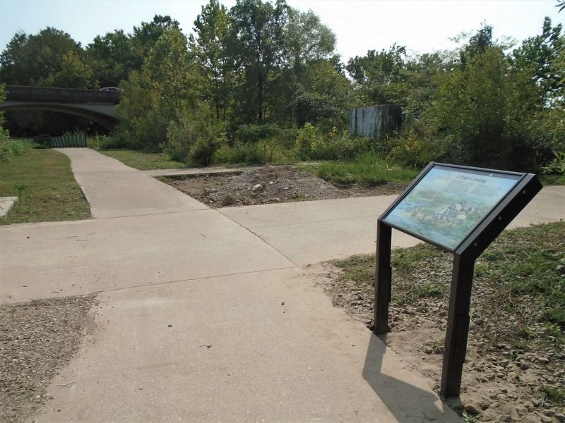
Cherokee probably forded the creek near the rocky sandbar ahead and to your left.
Erected 2015 by National Park Service, City of Waynesville, and Pulaski County Tourism Bureau.
Topics and series. This historical marker is listed in these topic lists: Disasters • Native Americans • Waterways & Vessels. In addition, it is included in the Trail of Tears series list. A significant historical date for this entry is March 5, 1839.
Location. 37° 49.709′ N, 92° 12.321′
Other nearby markers. At least 8 other markers are within walking distance of this marker. A Road Through History (about 500 feet away, measured in a direct line); Roubidoux Trail (about 800 feet away); James Richard Livingston (approx. 0.2 miles away); What is the Trail of Tears? (approx. 0.2 miles away); A Resting Place for the Weary (approx. 0.2 miles away); A Trail of Tragedy (approx. 0.2 miles away); Rigsby House and Standard Oil Station (approx. 0.2 miles away); Discover a Hidden History (approx. 0.2 miles away). Touch for a list and map of all markers in Waynesville.
Also see . . .
1. Trail Of Tears National Historic Trail. (Submitted on October 16, 2020, by William Fischer, Jr. of Scranton, Pennsylvania.)
2. History of the Cherokee People. (Submitted on October 16, 2020, by William Fischer, Jr. of Scranton, Pennsylvania.)
3. Trail of Tears (Jack Baker talk on C-Span, 2020). (Submitted on October 16, 2020, by William Fischer, Jr. of Scranton, Pennsylvania.)
4. Waynesville Cherokee Encampment at Roubidoux Spring. (Submitted on October 16, 2020, by William Fischer, Jr. of Scranton, Pennsylvania.)
Credits. This page was last revised on October 16, 2020. It was originally submitted on October 16, 2020, by William Fischer, Jr. of Scranton, Pennsylvania. This page has been viewed 188 times since then and 27 times this year. Photos: 1, 2, 3, 4. submitted on October 16, 2020, by William Fischer, Jr. of Scranton, Pennsylvania.


