Near Dayville in Grant County, Oregon — The American West (Northwest)
The Shearing Done
Inscription.
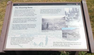
After the sheep were sheared, they went to pasture for the summer, typically a grazing allotment on one of the national forests. Herders trailed the sheep to and from the allotment on foot with the help of skilled dogs, a trip that could take as long as thirty days.
In the fall, the flock was brought in close to the ranch and lambs were sent to market. In the spring the cycle began again, with lambing and shearing at the home ranch.
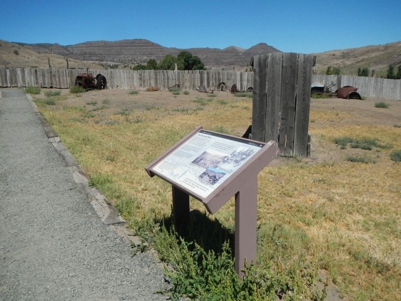
The watchman's hut to your right foreground next to the fence, served as a home base for the "night man," who watched over the lambing activities throughout the night.
"It seemed to be the ambition of everybody - all the little kids - to be a sheepherder. They would look out of the schoolhouse window and see a band of sheep in the hills and worry about when they could get out there and herd, too." -- Rhys Humphreys
After World War II most sheep ranches in the area changed to cattle. Sheep ranching, and the need for wool, has faded with time.
Erected by National Park Service.
Topics. This historical marker is listed in these topic lists: Agriculture • Animals.
Location. 44° 33.039′ N, 119° 38.582′ W. Marker is near Dayville, Oregon , in Grant County. Marker can be reached from Oregon Route 19 near U.S. 26, on the right when traveling north. Touch for map. Marker is at or near this postal address: 32651 Oregon Highway 19, Dayville OR 97825, United States of America. Touch for directions.
Other nearby markers. At least 8 other markers are within walking distance of this marker. An Oregon Fossil Rush (approx. 0.2 miles away); On the Road of History (approx. 0.3 miles away); James Cant Ranch Historic District (approx. 0.3 miles away); Lifeblood of a Ranch (approx. 0.3 miles away); a different marker also named James Cant Ranch Historic District (approx. 0.3 miles away); Welcome to the John Day River (approx. 0.3 miles away); Haystacker (approx. 0.4 miles away); Wool Bag Stand (approx. 0.4 miles away). Touch for a list and map of all markers in Dayville.
Credits. This page was last revised on October 17, 2020. It was originally submitted on October 17, 2020, by Barry Swackhamer of Brentwood, California. This page has been viewed 75 times since then and 7 times this year. Photos: 1, 2. submitted on October 17, 2020, by Barry Swackhamer of Brentwood, California.

