Radium Springs in Doña Ana County, New Mexico — The American Mountains (Southwest)
Rio Grande Bosque
Bosque del Río Grande
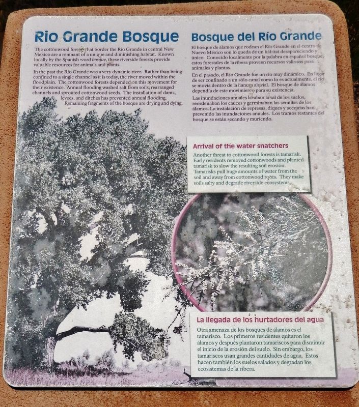
The cottonwood forests that border the Rio Grande in central New Mexico are a remnant of a unique and diminishing habitat. Known locally by the Spanish word bosque, these riverside forests provide valuable resources for animals and plants.
In the past the Rio Grande was a very dynamic river. Rather than being confined to a single channel as it is today, the river moved within the floodplain. The cottonwood forests depended on this movement for their existence. Annual flooding washed salt from soils, rearranged channels and sprouted cottonwood seeds. The installation of dams, levees, and ditches has prevented annual flooding. Remaining fragments of the bosque are drying and dying.
Arrival of the Water Snatchers
Another threat to cottonwood forests is tamarisk. Early residents removed cottonwoods and planted tamarisk to slow the resulting soil erosion. Tamarisks pull huge amounts of water from the soil and away from cottonwood roots. They make soils salty and degrade riverside ecosystems.
El bosque de álamos que rodean el Río Grande en el centro de Nuevo México son lo queda de un hábitat desapareciendo y único. Conocido localmente por la palabra en español bosque, estos forestales de la ribera proveen recursos valiosos para animales y plantas.
En el pasado, el Río Grande fue un río muy dinámico. En lugar de ser confinado a un sólo canal como lo es actualmente, el río se movía dentro de la llanura aluvial. El bosque de álamos dependía de este movimiento para su existencia.
Las inundaciones anuales lavaban la sal de los suelos, reordenaban los cauces y germinaban las semillas de los álamos. La instalación de represas, diques y acequias han prevenido las inundaciones anuales. Los tramos restantes del bosque se están secando y muriendo.
La llegada de los hurtadores del agua
Otra amenaza de los bosques de álamos es el tamarisco. Los primeros residentes quitaron los álamos y después plantaron tamariscos para disminuir el inicio de la erosión del suelo. Sin embargo, los tamariscos usan grandes cantidades de agua. Estos hacen también los suelos salados degradan los ecosistemas de la ribera.
Topics. This historical marker is listed in these topic lists: Environment • Horticulture & Forestry • Waterways & Vessels.
Location. 32° 29.666′ N, 106° 55.259′ W. Marker is in Radium Springs, New Mexico
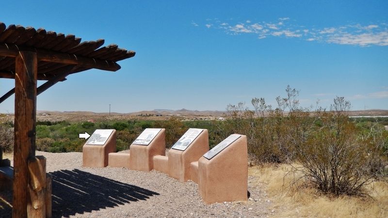
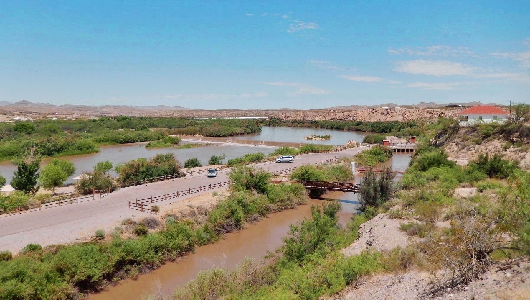
, in Doña Ana County. Marker can be reached from Dona Ana Road, 0.9 miles north of Fort Selden Road, on the right when traveling north. Marker is located along the Upper Mogollon Trail in Leasburg Dam State Park, overlooking the Leasburg Canal and the Rio Grande River. Touch for map. Marker is in this post office area: Radium Springs NM 88054, United States of America. Touch for directions.
Other nearby markers. At least 8 other markers are within 4 miles of this marker, measured as the crow flies. A Diversion Dam for the Valley (here, next to this marker); Changing Upland Plants (here, next to this marker); Rio Grande Means Life (approx. 0.2 miles away); History in Your Imagination (approx. 0.2 miles away); Fort Selden Cemetery (approx. 0.4 miles away); Rio Grandé Bridge at Radium Springs (approx. half a mile away); Paraje de Robledo (approx. 0.8 miles away); Paraje San Diego (approx. 3.9 miles away). Touch for a list and map of all markers in Radium Springs.
Credits. This page was last revised on October 18, 2020. It was originally submitted on October 17, 2020, by Cosmos Mariner of Cape Canaveral, Florida. This page has been viewed 128 times since then and 18 times this year. Photos: 1, 2, 3. submitted on October 18, 2020, by Cosmos Mariner of Cape Canaveral, Florida.


