San Saba in San Saba County, Texas — The American South (West South Central)
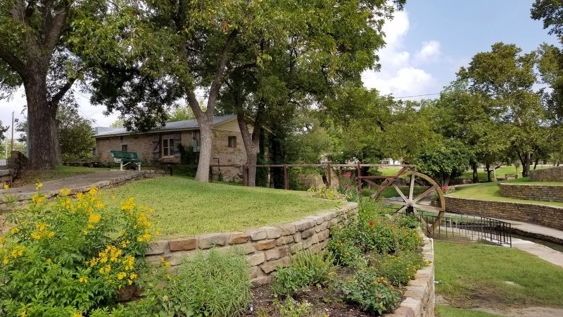
Mill Pond House
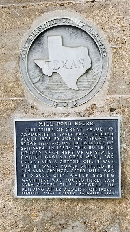
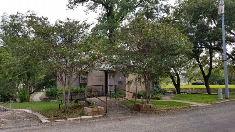
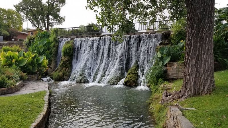
Structure of great value to community in early days. Erected about 1875 by John H. ("Shorty") Brown (1817-96), one of founders of San Saba, in 1850s. This building housed machinery of gristmill (which ground corn meal, for bread) and a cotton gin. It was run by water power supplied by San Saba Springs. After Mill was in disuse, City Water System machinery was housed here. San Saba Garden Club restored the building after acquisition, 1956.
Recorded Texas Historic Landmark - 1962
Erected 1962 by State Historical Survey Committee. (Marker Number 3379.)
Topics. This historical marker is listed in these topic lists: Industry & Commerce • Waterways & Vessels. A significant historical year for this entry is 1875.
Location. 31° 11.694′ N, 98° 42.782′ W. Marker is in San Saba, Texas, in San Saba County. Marker is at the intersection of East Commerce Street and South Mill Street, on the left when traveling west on East Commerce Street. Touch for map. Marker is at or near this postal address: 1007 East Commerce Street, San Saba TX 76877, United States of America. Touch for directions.
Other nearby markers. At least 8 other markers are within walking distance of this marker. Alma Ward Hamrick (here, next to this marker); Lest We Forget (about 400 feet away, measured in a direct line); Galloway (about 400 feet away); San Saba Lions Club Flag Memorial (about 400 feet away); Veterans Memorial Monument (about 400 feet away); San Saba County Jail (about 500 feet away); Edmond E. Risien (about 600 feet away); Edmund E. Risien (about 700 feet away). Touch for a list and map of all markers in San Saba.
Also see . . . Water Mill History. Wikipedia (Submitted on October 17, 2020, by James Hulse of Medina, Texas.)
Credits. This page was last revised on October 18, 2020. It was originally submitted on October 17, 2020, by James Hulse of Medina, Texas. This page has been viewed 166 times since then and 14 times this year. Photos: 1, 2, 3, 4, 5. submitted on October 17, 2020, by James Hulse of Medina, Texas. • J. Makali Bruton was the editor who published this page.
