Radium Springs in Doña Ana County, New Mexico — The American Mountains (Southwest)
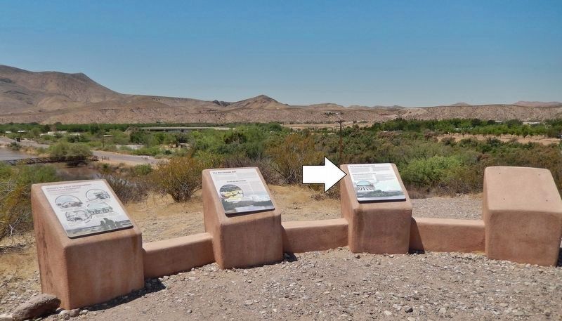
Rio Grande Means Life
El Río Grande significa vida
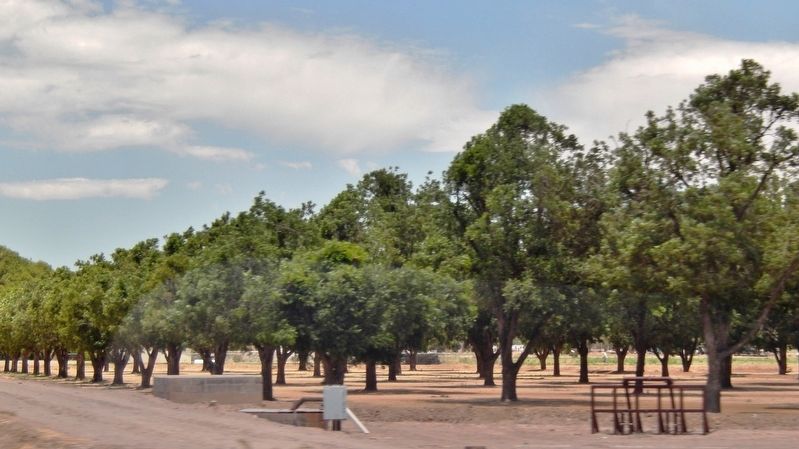
Early people in this area found much of what they needed in the Rio Grande valley. They moved throughout these grasslands and foothills in search of food and resources. Later, settlements concentrated along the river, using the water for their crops.
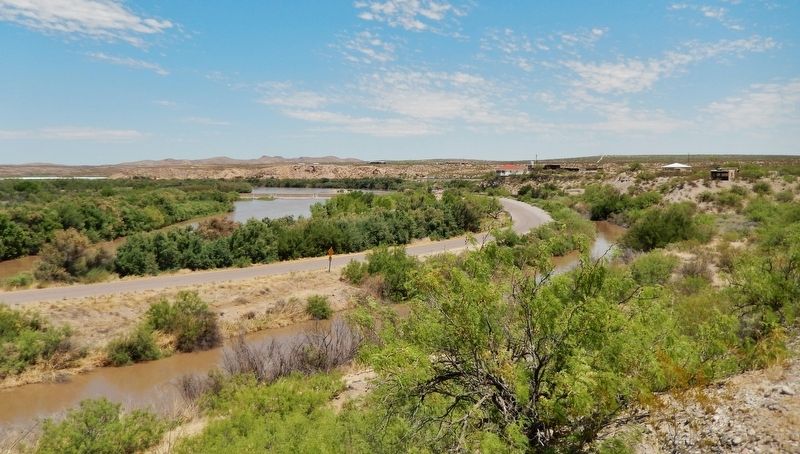
For thousands of years, the Rio Grande flowed year-round as a meandering stream. Changes in the ecology of the valley began in the late 1800s and early 1900s with the manipulation of river flows by dams, canals, and the confinement of the river to a straightened channel.
Although the benefits that the river now provides to plants and animals have changed, the benefits to humans in the form of crops, recreation and water supply remain important.
Today the Rio Grande, bordered by remnants of the lush cottonwood bosque, flows through the surrounding, dry Chihuahuan desert. Here, a large diversity of mammals, amphibians, turtles, lizards, snakes, birds, fish and insects find food and shelter.
[background photo caption]
Irrigated cropland at Mesilla, New Mexico
Las primeras personas dentro de esta área encontraron mucho de lo que ellos necesitaban en el valle del Río Grande. Ellos se mudaron por todos estos prados y colinas en busca de comida y recursos. Los asentamientos que vinieron después se establecieron frecuentemente a lo largo del rio usando el agua para sus cultivos.
Por miles de años, el Río Grande corría el año entero como un riachuelo serpentino. Cambios en la ecología del valle empezaron a finales del siglo XIX y a los inicios del XX con la manipulación de la corriente del río por las presas, canales y la contención del río dentro de un canal recto.
Aún cuando los beneficios que el río provee actualmente para las plantas y animales han cambiado, los beneficios para los humanos correspondientes al cultivo, recreación y suministro de agua prevalecen importantes.
Actualmente el Río Grande, rodeado con lo que resta del espeso bosque de álamos, fluye a través del seco desierto de Chihuahua. Aquí una gran diversidad de mamíferos, anfibios, tortugas, lagartijas, serpientes, aves, peces e insectos encuentran comida y refugio.
[pie de foto de fondo]
Riego de la tierra de cultivo en Mesilla, Nuevo México
Topics. This historical marker is listed in these topic lists: Agriculture • Animals • Settlements & Settlers • Waterways & Vessels.
Location. 32°
29.518′ N, 106° 55.316′ W. Marker is in Radium Springs, New Mexico, in Doña Ana County. Marker can be reached from Dona Ana Road, 0.7 miles north of Fort Selden Road, on the right when traveling north. Marker is located along the Upper Mogollon Trail in Leasburg Dam State Park, overlooking the Leasburg Canal and the Rio Grande River. Touch for map. Marker is in this post office area: Radium Springs NM 88054, United States of America. Touch for directions.
Other nearby markers. At least 8 other markers are within 4 miles of this marker, measured as the crow flies. History in Your Imagination (here, next to this marker); Rio Grande Bosque (approx. 0.2 miles away); A Diversion Dam for the Valley (approx. 0.2 miles away); Changing Upland Plants (approx. 0.2 miles away); Fort Selden Cemetery (approx. 0.3 miles away); Rio Grandé Bridge at Radium Springs (approx. 0.4 miles away); Paraje de Robledo (approx. 0.6 miles away); Paraje San Diego (approx. 4.1 miles away). Touch for a list and map of all markers in Radium Springs.
Credits. This page was last revised on October 18, 2020. It was originally submitted on October 17, 2020, by Cosmos Mariner of Cape Canaveral, Florida. This page has been viewed 132 times since then and 17 times this year. Photos: 1, 2, 3, 4. submitted on October 18, 2020, by Cosmos Mariner of Cape Canaveral, Florida.


