Edinburg in Shenandoah County, Virginia — The American South (Mid-Atlantic)
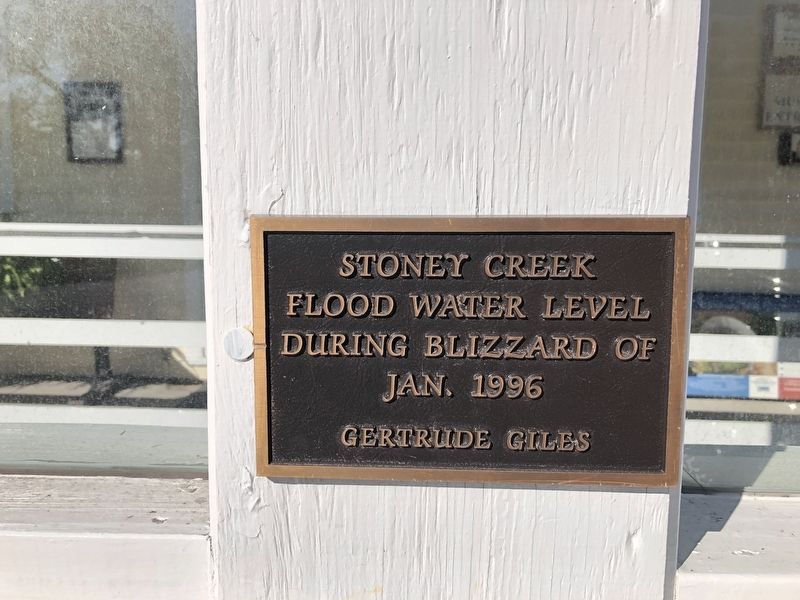
Stoney Creek Flood Water Level
Erected by Gertrude Giles.
Topics. This historical marker is listed in these topic lists: Disasters • Waterways & Vessels. A significant historical month for this entry is January 1996.
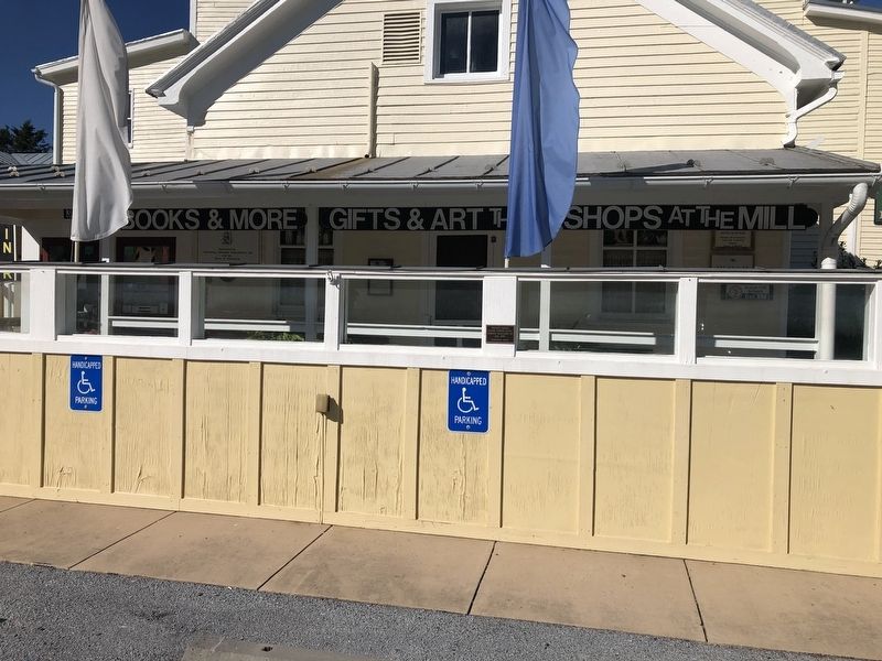
Location. 38° 49.265′ N, 78° 34.1′ W. Marker is in Edinburg, Virginia, in Shenandoah County. Marker is on South Main Street (U.S. 11) just east of Massie Farm Lane, on the right when traveling west. Touch for map. Marker is at or near this postal address: 214 S Main St, Edinburg VA 22824, United States of America. Touch for directions.
Other nearby markers. At least 8 other markers are within walking distance of this marker. Schoolhouse Bench (here, next to this marker); Wheat Fan (a few steps from this marker); Charred Timbers (a few steps from this marker); a different marker also named Wheat Fan (a few steps from this marker); Edinburg Mill (within shouting distance of this marker); The Stony Creek Line (within shouting distance of this marker); Edinburg Mill Rain Garden (within shouting distance of this marker); Civil War Action in Edinburg (about 600 feet away, measured in a direct line). Touch for a list and map of all markers in Edinburg.
Credits. This page was last revised on October 19, 2020. It was originally submitted on October 19, 2020, by Devry Becker Jones of Washington, District of Columbia. This page has been viewed 187 times since then and 18 times this year. Photos: 1, 2. submitted on October 19, 2020, by Devry Becker Jones of Washington, District of Columbia.

