Yuma in Yuma County, Arizona — The American Mountains (Southwest)
Yuma Territorial Prison
Yuma Territorial Prison State Historic Park
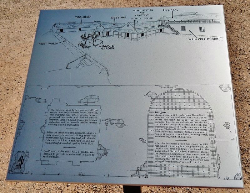
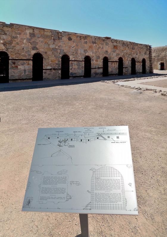
When the prisoners outnumbered the chairs, a new adobe kitchen and dining room was constructed. Not your standard jail cafeteria, this mess hall had a redwood ceiling and wainscoting! It was destroyed by fire in 1924.
Southwest of the mess hall, a garden was planted to provide inmates with a place to read and relax.
Imagine...
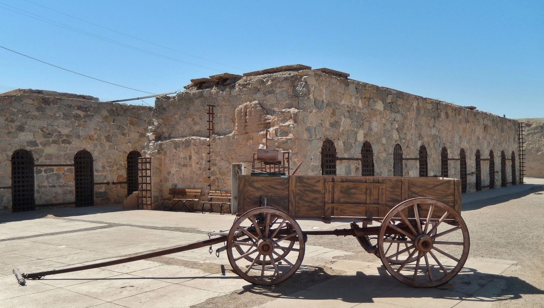
Sharing a room with five other men. The walls that surround you are reinforced with strap iron to ensure you don't dig your way out. Scant protection from the sun and rain are provided by the whitewashed granite walls and roof. The thermometer reads 110 F in the summer, and hot, thick air fills the cell. Moaning voices can be heard from the hospital upstairs. Unlike many nearby homes, it does have ventilation, running water, and electricity, but it's still a prison.
After the Territorial prison was closed in 1909, high school voices rang from the prison walls. The hospital and other buildings were leased to the Yuma school district for $600 a semester. During the Depression, homeless drifters moved into the cells, which were later used as a dog pound. Following the 1916 flood, building materials were salvaged from the prison to rebuild the city.
Erected by Arizona State Parks.
Topics. This historical marker is listed in these topic lists: Disasters • Education • Law Enforcement. A significant historical year for this entry is 1924.
Location. 32° 43.61′ N, 114° 36.911′ W. Marker is in Yuma, Arizona, in Yuma County. Marker can be reached from Prison Hill Road, half a mile north of Harold C. Giss Parkway. Marker is located in Yuma Territorial Prison State Historic Park, overlooking the prison courtyard. Touch for map. Marker is at or near this postal address: 220 Prison Hill Road, Yuma AZ 85364, United States of America. Touch for directions.
Other nearby markers. At least 8 other markers are within walking distance of this marker. The Prison Bell (a few steps from this marker); Incorrigible Ward (a few steps from this marker); Main Cellblock (a few steps from this marker); Shops (within shouting distance of this marker); Prison Labor (within shouting distance of this marker); New Yard (within shouting distance of this marker); Drinking Water Life in the Desert (about 300 feet away, measured in a direct line); Yuma East Wetlands (about 300 feet away). Touch for a list and map of all markers in Yuma.
Related markers. Click here for a list of markers that are related to this marker. Yuma Territorial Prison State Historic Park
Also see . . . History of Yuma Territorial Prison State Historic Park. After Yuma High School burned, the High School Board rented four structures and used them from 1910 until 1914. The school athletic teams became known as "The Criminals". The County Hospital utilized the facilities from 1914 until 1923. The Veterans of Foreign Wars leased the guard's quarters in 1931 and used it as their clubhouse until 1960. Hobos, riding the trains in the 1920's and 1930's, stayed in the cells, and homeless families during the Great Depression lived in the cells. (Submitted on October 20, 2020, by Cosmos Mariner of Cape Canaveral, Florida.)
Credits. This page was last revised on October 20, 2020. It was originally submitted on October 19, 2020, by Cosmos Mariner of Cape Canaveral, Florida. This page has been viewed 294 times since then and 50 times this year. Photos: 1, 2, 3, 4. submitted on October 20, 2020, by Cosmos Mariner of Cape Canaveral, Florida.


