Pontiac in Livingston County, Illinois — The American Midwest (Great Lakes)
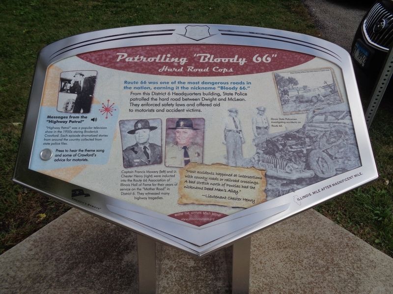
Patrolling "Bloody 66"
Hard Road Cops
Messages from the “Highway Patrol”
“Highway Patrol” was a popular television show in the 1950s staring Broderick Crawford. Each episode dramatized stories from around the country collected from state police files.
(photo caption:)
Captain Francis Mowry and Lt. Chester Henry were inducted into the Route 66 Association of Illinois Hall of Fame for their years of service on the “Mother Road” in District 6. They witnessed many highway tragedies.
“Most accidents happened at intersections with county roads or railroad crossings. A bad stretch north of Pontiac had the nickname Dead Man’s Alley.” – Lieutenant Chester Henry
Erected by Illinois Route 66 Scenic Byway.
Topics and series. This historical marker is listed in these topic lists: Law Enforcement • Roads & Vehicles. In addition, it is included in the U.S. Route 66 series list.
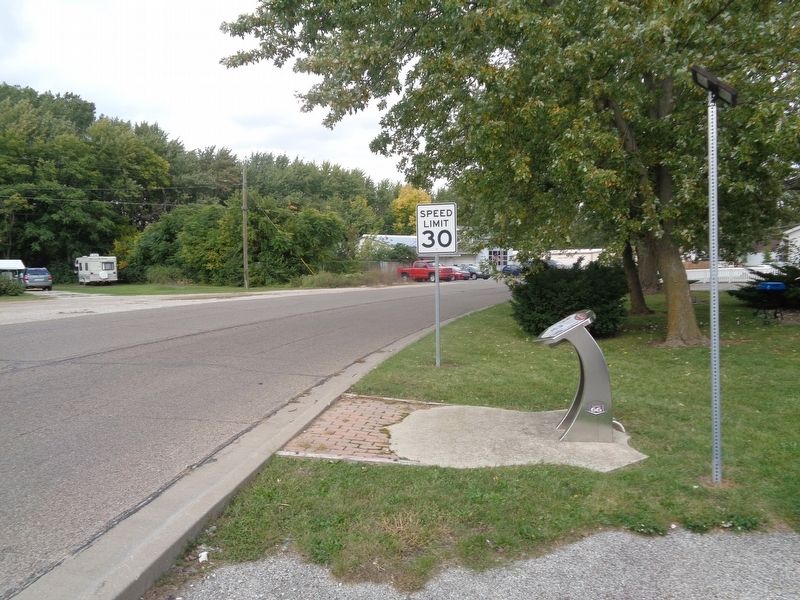
Location. 40° 53.205′ N, 88° 38.258′ W. Marker is in Pontiac, Illinois, in Livingston County. Marker is on West Lincoln Avenue north of West Custer Avenue, on the right when traveling east. Marker is near Elliott's Corner Junction. Touch for map. Marker is at or near this postal address: 720 W Lincoln Ave, Pontiac IL 61764, United States of America. Touch for directions.
Other nearby markers. At least 8 other markers are within walking distance of this marker. Historic Division Street Bridge (approx. ¼ mile away); A Bridge to the Past (approx. ¼ mile away); An Underground Crossing (approx. 0.3 miles away); Lincoln Visits Strevell (approx. 0.4 miles away); Fell Leads The Way (approx. half a mile away); Citizenry Mourn Lincoln (approx. half a mile away); Lincoln Speaks at Church (approx. half a mile away); Lincoln Stranded Here (approx. half a mile away). Touch for a list and map of all markers in Pontiac.
Credits. This page was last revised on October 20, 2020. It was originally submitted on October 20, 2020, by Jason Voigt of Glen Carbon, Illinois. This page has been viewed 589 times since then and 70 times this year. Photos: 1, 2. submitted on October 20, 2020, by Jason Voigt of Glen Carbon, Illinois.

