Ticonderoga in Essex County, New York — The American Northeast (Mid-Atlantic)
"C-Dam"
LaChute Riverwalk
Photographed by Steve Stoessel, September 12, 2020
1. C-Dam Marker
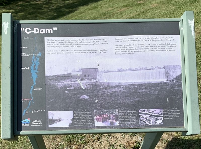
This dam gets its name from its position as the third dam down from the outlet of Lake George. It was the last location to be exploited along the LaChute. This site required a broad dam high enough to make its power-generating "head” worthwhile, and strong enough to hold back a lot of water.
Earthen berms on either side of the stream indicate the height of the original dam and give an idea of the extent of the pond it created. When International Paper Company built a new mill on the shore of Lake Champlain in 1971, the turbine house was dismantled and the dam was lowered to decrease the depth of the pond.
The energy crisis of the 1970s prompted a new interest in small-scale hydropower. The extraordinary waterpower resources here attracted the attention of Consolidated Hydro, which re-engineered the River corridor to produce electricity. An underground penstock delivers water to the upper generating station located in the small building next to the dam.
Bottom Left Photo: International Paper Company installed an electric turbine in the east end of the dam (above). A penstock carrying water from
this page online
Center Bottom Photo: Only the lower regulator remains of the vertical, double-regulated Kaplan turbine that produced electricity here. It sat in a vertical cylindrical casing connected by a short pipe to the intake in the dam. Machines of this type have never been surpassed for efficiency or reliability. Photograph by Virginia Westbrook.
Bottom Right Drawing: When the second Bird's Eye View of Ticonderoga was published in 1891, the C-dam site was labeled "Glens Falls Pulp Company proposed mill." Courtesy of the Ticonderoga Historical Society.
Erected by Lake Champlain Basin Program. (Marker Number 10.)
Topics. This historical marker is listed in these topic lists: Industry & Commerce • Waterways & Vessels. A significant historical year for this entry is 1971.
Location. 43° 50.54′ N, 73° 25.785′ W. Marker is in Ticonderoga, New York, in Essex County. It can be reached from Lake George Avenue south of Stanton Street, on the left when traveling
Photographed by Steve Stoessel, September 12, 2020
2. C-Dam Marker

Regionally, this marker is in Upstate New York, in the Adirondacks & North Country, and in the Champlain Valley. It is also in the American Northeast and in the Mid-Atlantic. Globally, it is in North America, the Great North Woods, the Western Hemisphere, the Western World, and the Anglosphere. Historically, it finds itself in what was once the Viceroyalty of New France, New Netherland, and one of the original Thirteen Colonies.
Other nearby markers. At least 8 other markers are within walking distance of this marker: Historic Valley (approx. 0.2 miles away); Military Heroes of Ticonderoga (approx. 0.3 miles away); From this point south… (approx. 0.4 miles away); Artillery Park (approx. 0.4 miles away); Lord Howe’s Grave (approx. 0.4 miles away); LaChute River Trail (approx. 0.4 miles away); Mount Defiance (approx. 0.4 miles away); Men of Ticonderoga (approx. 0.4 miles away). Touch for a list and map of all markers in Ticonderoga.
Another marker is no longer nearby. Death of Lord Howe (was approx. 0.2 miles away but has been replaced with another marker now near it).
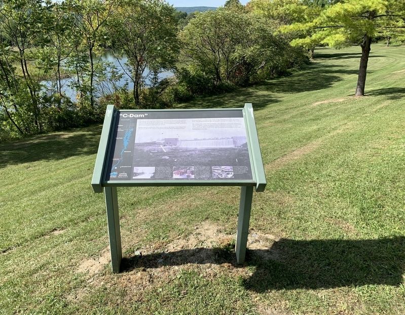
Regarding "C-Dam". You can't see the C-dam from the marker.
Credits. This page was last revised on October 23, 2020. It was originally submitted on October 20, 2020, by Steve Stoessel of Niskayuna, New York. This page has been viewed 482 times since then and 33 times this year. Photos: 1, 2. submitted on October 20, 2020, by Steve Stoessel of Niskayuna, New York. • Michael Herrick was the editor who published this page.
Editor’s want-list for this marker. Photo of the C-dam. • Can you help?
