Near Lyle in Klickitat County, Washington — The American West (Northwest)
Transition Zones
Arid East Meets Maritime West
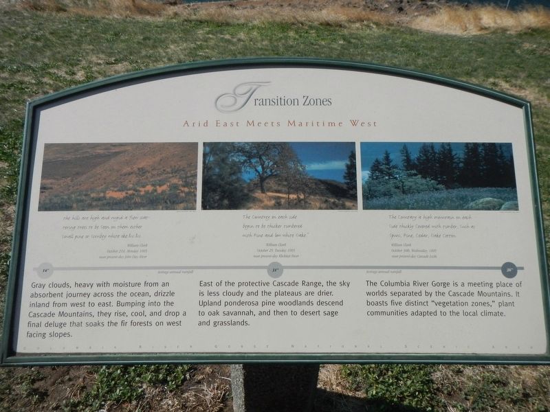
East of the protective Cascade Range, the sky is less cloudy and the plateaus are drier. Upland ponderosa pine woodlands descend to oak savannah, and then to desert sage and grassland.
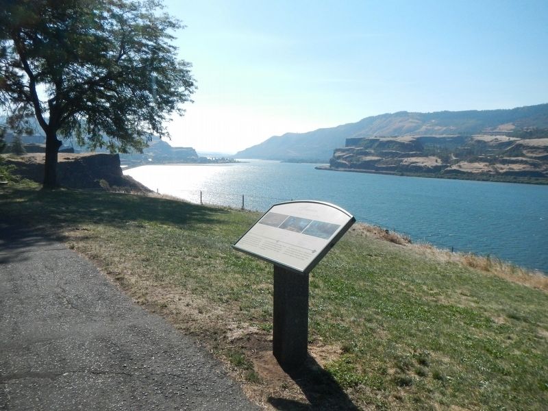
The Columbia River Gorge is a meeting place of worlds separated by the Cascade Mountains. It boast five distinct "vegetation zones." plant communities adapted to the local climate.
the hills are high and rugid a few scattering trees to be seen on them either small pine or scrubey white oke. &c.&c. - William Clark, October 21st, Monday 1805, near present-day John Day River
31" Average Annual Rainfall
The Countrey on each side begin to be thicker timbered with Pine and low white Oake." - William Clark, October 29, Tuesday 1805, near present-day Klickitat River
36" Average Annual Rainfall
The Countary a high mountain on each side thickly covered with timber, such as spurs, Pine, Cedar, Oake Cotton - William Clark, October 30th, Wednesday, 1805, near present-day Cascade Locks
Erected by Columbia River Gorge National Scenic Area.
Topics. This historical marker is listed in this topic list: Natural Features.
Location. 45° 42.343′ N, 121° 19.486′ W. Marker is near Lyle, Washington, in Klickitat County. Marker can be reached from Lewis and Clark Highway (Washington Route 14) near Old Highway 8, on the right when traveling east. This marker is located at the Lake Chamberlain Safety Rest Area. Touch for map. Marker is in this post office area: Lyle WA 98635, United States of America. Touch for directions.
Other nearby markers. At least 8 other markers are within 7 miles of this marker, measured as the crow flies. A Fluid Geologic Past (within shouting distance of this marker); Memaloose—Island of the Dead (approx. 0.9 miles away in Oregon); Memaloose Rest Area Oregon Trail Kiosk (approx. one mile away in Oregon); Memaloose Overlook (approx. 1˝ miles away in Oregon); Rowena Crest - Ice Age Floods (approx. 2 miles away in Oregon); Rowena Crest - The Rowena Loops (approx. 2 miles away in Oregon); Mosier (approx. 3.8 miles away in Oregon); The History of the Columbia River Highway (approx. 6.6 miles away in Oregon).
Credits. This page was last revised on October 20, 2020. It was originally submitted on October 20, 2020, by Barry Swackhamer of Brentwood, California. This page has been viewed 156 times since then and 8 times this year. Photos: 1, 2. submitted on October 20, 2020, by Barry Swackhamer of Brentwood, California.

