Near Dallesport in Klickitat County, Washington — The American West (Northwest)
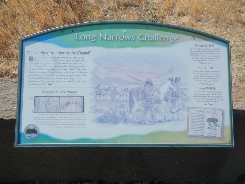
Long Narrows Challenge
Inscription.
If you stood here before the river was flooded by the Dalles Dam, you would be looking at the upper end of the Long Narrows. That farro stretch of the Columbia River posed a formidable challenge to the Lewis and Clark Expedition. In October 1805, Clark wrote, "Capt. Lewis and my Self walked down to See the place the Indians pointed out as the worst place in passing through the gut, which we found difficuelt of passing without great danger ... we Concluded to Make a portage of our most valuable articles and run the canoes thro."
Portaging the Long Narrows
On the return trip in spring 1806, the explorers portaged all their goods and equipment around the Long Narrows. Captain Lewis wrote, "the long narrows are much more formidable than they were when we descended them last fall there would be no possibility of passind (sic) either up or down them in any vessel." This exhausting task was made easier with horses the explorers purchased for their impending overland journey.
October 25, 1805
"the 3 firt Canoes passed thro very well, the 4th nearly filled with water, the last passed through by taking in a little water,
April 18, 1806
"we determined to make the portage to the head of the long narrows with our baggage and five small canoes. the 2 perogues we could take no further and therefore cut them up for fuel." ~ Meriwether Lewis ~
April 19, 1806
"all hands went at packing the baggage pas the portage which is about 2 miles towards evening we got all the baggag (sic) and canoes carried to the head of the narrows above the village & Camped ~John Ordway.
Walk or Ride?
During the journey, the Lewis & Clark Expedition sent some men through the Long Narrows in canoe. Others carried goods and equipment around the narrows. In you journal, note which activity you would have chosen - running the rapids of portaging items. Explain why you would choose that activity.
Erected by Lewis & Clark Expedition - Washington.
Topics and series. This historical marker is listed in these topic lists: Exploration • Waterways & Vessels. In addition, it is included in the Lewis & Clark Expedition series list. A significant historical date for this entry is October 25, 1805.
Location. 45° 38.437′ N, 121° 6.269′ W. Marker is near Dallesport, Washington, in Klickitat County. Marker can be reached from Columbia Hills Historical State Park Road near Lewis and Clark Highway when traveling south. The marker is in the parking lot at the end of the road. Touch for map. Marker is in this post office area: Dallesport WA 98617, United States of America. Touch for directions.
Other nearby markers. At least 8 other markers are within 4 miles of this marker, measured as the crow flies. "the Great Mart" (here, next to this marker); Sheltered Homelands (a few steps from this marker); Through the Short Narrows (a few steps from this marker); Horsethief Butte (within shouting distance of this marker); Columbia River Indians (approx. ¾ mile away); Preparing to leave the River (approx. 2.6 miles away); The Columbia Then & Now (approx. 3.6 miles away); To Market, to Market (approx. 3.6 miles away). Touch for a list and map of all markers in Dallesport.
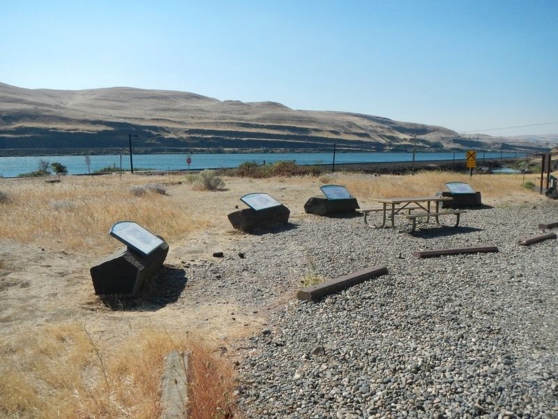
More about this marker. This marker is among a group at the end of the park road, down by the Columbia River.
Credits. This page was last revised on October 20, 2020. It was originally submitted on October 20, 2020, by Barry Swackhamer of Brentwood, California. This page has been viewed 127 times since then and 7 times this year. Photos: 1, 2. submitted on October 20, 2020, by Barry Swackhamer of Brentwood, California.

