Near Ashland in Hanover County, Virginia — The American South (Mid-Atlantic)
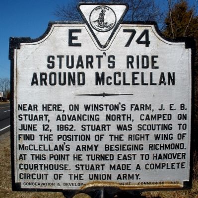
Stuart's Ride Around McClellan
Photographed by Bernard Fisher, February 2, 2009
1. Stuart's Ride Around McClellan Marker
Erected 1931 by Conservation and Development Commission. (Marker Number E-74.)
Topics and series. This historical marker is listed in this topic list: War, US Civil. In addition, it is included in the Virginia Department of Historic Resources (DHR) series list. A significant historical month for this entry is June 1873.
Location. 37° 47.109′ N, 77° 27.95′ W. Marker is near Ashland, Virginia, in Hanover County. It is on North Washington Highway (U.S. 1) 0.6 miles north of Jamestown Road, on the right when traveling north. Touch for map. Marker is in this post office area: Ashland VA 23005, United States of America. Touch for directions.

Regionally, this marker is in Virginia’s Piedmont, in Central Virginia, and in the Richmond Metropolitan Area. It is also in the American South, specifically in the Upper South, and on the Eastern
this page online
Other nearby markers. At least 8 other markers are within 2 miles of this marker, measured as the crow flies: Welcome to Berkleytown Heritage Park (approx. 1.2 miles away); Education: Advocating for Knowledge and Equal Opportunities (approx. 1.2 miles away); Faith, Fellowship, and Community: The Role of Churches in Berkleytown (approx. 1.2 miles away); Berkleytown Historic District (approx. 1.2 miles away); The Ties That Bind: Family and Community Life in Berkleytown (approx. 1.2 miles away); Berkleytown Cemetery (approx. 1.3 miles away); The Remarkable Legacy of Black-Owned Businesses in Berkleytown (approx. 1.3 miles away); School Transportation (approx. 1.3 miles away). Touch for a list and map of all markers in Ashland.
Related markers. Click here for a list of markers that are related
Photographed by Bernard Fisher, February 2, 2009
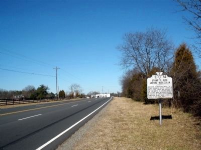
2. Stuart's Ride Around McClellan Marker on US Rt 1 (facing north)
Photographed by Bernard Fisher, April 9, 2009
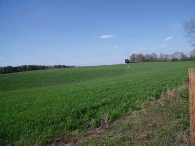
3. Winston Farm
On the night of June 12, 1862, Stuart's troopers camped here before turning east towards Hanover Courthouse.
Photographed by Bernard Fisher, April 9, 2009
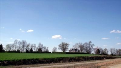
4. Site of "Courtland" on the Winston Farm.
The original house burned in 1887 and was rebuilt, only to burn again in 1937.
Photographed by Bernard Fisher, February 2, 2009
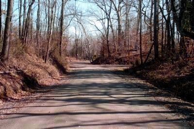
5. Wickham Dr leads to Hickory Hill estate (private).
Brig. Gen. Stuart and Col. Rooney Lee spent the night at nearby Hickory Hill, home of Lt. Col. Williams C. Wickham, who was recovering from a wound received at Williamsburg. They returned to camp before sunrise.
Rooney Lee was married to Charlotte Wickham. He was at Hickory Hill recovering from his Brandy Station wound in 1863 when he was captured by the Federals and imprisoned until March 1864.
Rooney Lee was married to Charlotte Wickham. He was at Hickory Hill recovering from his Brandy Station wound in 1863 when he was captured by the Federals and imprisoned until March 1864.
Photographed by Bernard Fisher, February 2, 2009
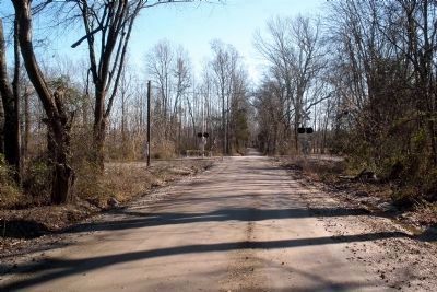
6. Wickham's Crossing on the Central Virginia RR.
Stuart's troopers continued east toward Hanover Courthouse on the morning of June 13, 1862.
Credits. This page was last revised on June 16, 2016. It was originally submitted on February 3, 2009, by Bernard Fisher of Richmond, Virginia. This page has been viewed 1,594 times since then and 52 times this year. Photos: 1, 2. submitted on February 3, 2009, by Bernard Fisher of Richmond, Virginia. 3, 4. submitted on April 11, 2009, by Bernard Fisher of Richmond, Virginia. 5, 6. submitted on July 4, 2009, by Bernard Fisher of Richmond, Virginia. • Craig Swain was the editor who published this page.
