Near Port Royal in Caroline County, Virginia — The American South (Mid-Atlantic)
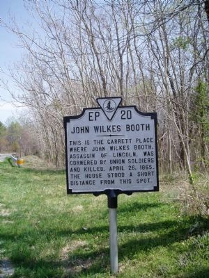
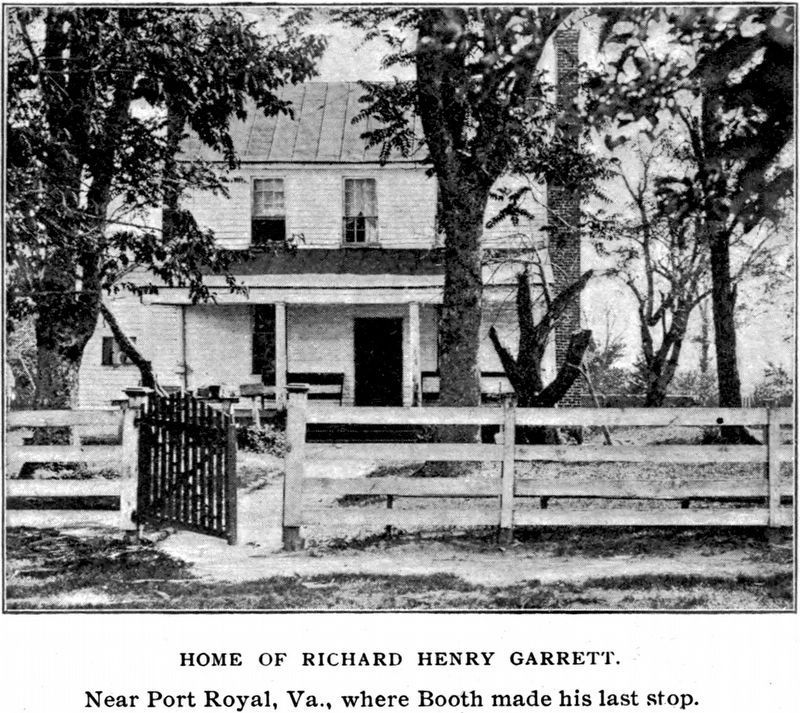
John Wilkes Booth
Erected 1937 by Virginia Conservation and Development Commission. (Marker Number EP-20.)
Topics and series. This historical marker is listed in this topic list: War, US Civil. In addition, it is included in the Booth's Escape, the Former U.S. Presidents: #16 Abraham Lincoln, and the Virginia Department of Historic Resources (DHR) series lists. A significant historical date for this entry is April 26, 1865.
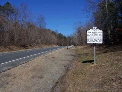
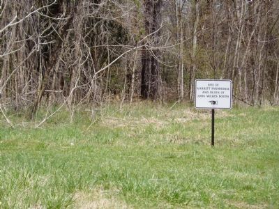
Location. This marker has been replaced by another marker nearby. It was located near 38° 8.39′ N, 77° 13.723′ W. Marker was near Port Royal, Virginia, in Caroline County. Marker was on U.S. 301, 2˝ miles south of U.S. 17, on the right when traveling north. It could be seen from the southbound lanes of US-301. It was north of Peumansend Creek. Touch for map. Marker was in this post office area: Port Royal VA 22535, United States of America. Touch for directions.
Other nearby markers. At least 8 other markers are within 3 miles of this location, measured as the crow flies. Assassin's End (here, next to this marker); Where Booth Died (approx. 2.2 miles away); Hazelwood (approx. 2.6 miles away); Old Port Royal (approx. 2.8 miles away); The Sacred Lot (approx. 2.9 miles away); Port Royal (approx. 2.9 miles away); The Fox Tavern: A Colonial Landmark (approx. 3 miles away); Dorothy Roy (approx. 3 miles away). Touch for a list and map of all markers in Port Royal.
More about this marker. This marker was replaced by a new one named Assassin's End (see nearby markers).
Related markers. Click here for a list of markers that are related to this marker.
Also see . . .
1. The Death of John Wilkes Booth, 1865. (Submitted on July 15, 2007.)
2. Booth's Escape Byway, Maryland Office of Tourism. (Submitted on August 19, 2019.)
Additional commentary.
1. Marker Stolen
The Free Lance-Star (01/07/15) reports this marker was stolen in October 2014. A replacement marker titled “Assassin’s End” has been approved by VDHR. Note To Editor only visible by Contributor and editor
— Submitted January 8, 2015.
2. Stolen marker replaced
This marker, stolen in 2014, has been replaced by one with updated text. Members of the Surratt Society, a group that studies the Lincoln assassination, paid for the new marker.
— Submitted August 26, 2021, by Wesley Harris of Ruston, Louisiana.
Additional keywords. President Abraham Lincoln, John Wilkes Booth Escape Route
Credits. This page was last revised on December 26, 2021. It was originally submitted on July 7, 2007, by John Walker Guss of Hillsborough, North Carolina. This page has been viewed 18,689 times since then and 399 times this year. Photos: 1. submitted on July 7, 2007, by John Walker Guss of Hillsborough, North Carolina. 2. submitted on March 7, 2010, by Mike Stroud of Bluffton, South Carolina. 3. submitted on July 7, 2007, by John Walker Guss of Hillsborough, North Carolina. 4, 5, 6. submitted on May 12, 2021, by Allen C. Browne of Silver Spring, Maryland. • J. J. Prats was the editor who published this page.
