Orleans in Barnstable County, Massachusetts — The American Northeast (New England)
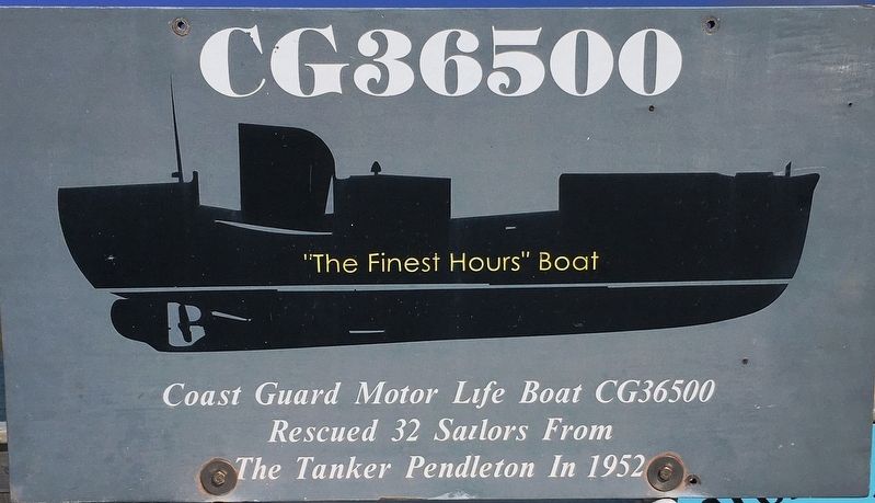
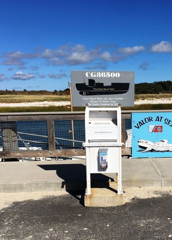
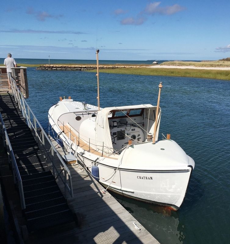
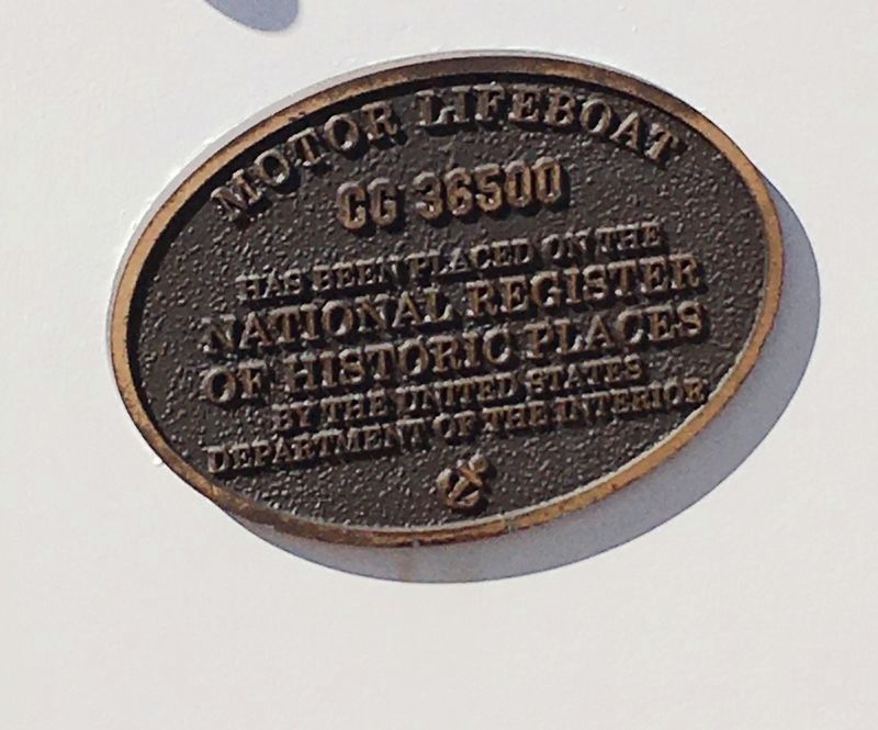
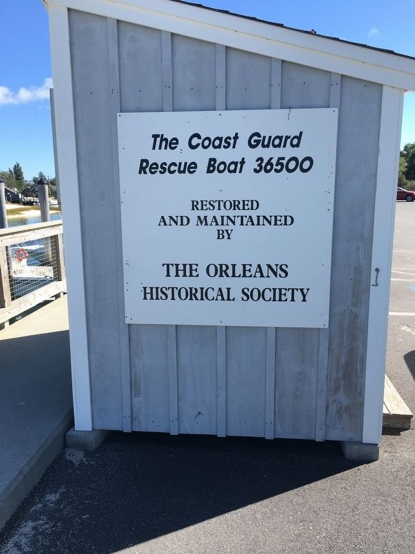
Coast Guard Motor Life Boat CG36500
Rescued 32 Sailors From
The Tanker Pendleton In 1952
Erected by The Orleans Historical Society.
Topics. This historical marker is listed in this topic list: Waterways & Vessels.
Location. 41° 47.991′ N, 70° 0.493′ W. Marker is in Orleans, Massachusetts, in Barnstable County. Marker is on Bay View Drive, 0.1 miles west of Rock Harbor Road, on the right when traveling west. Located at the end of Bay View Drive. Touch for map. Marker is at or near this postal address: 18 Bay View Drive, Orleans MA 02653, United States of America. Touch for directions.
Other nearby markers. At least 8 other markers are within 2 miles of this marker, measured as the crow flies. Battle of Orleans Massachusetts 1814 (a few steps from this marker); Commemorating the Battle of Rock Harbor (a few steps from this marker); The Whale of Orleans (approx. 1.2 miles away); French–Atlantic Cable Company (approx. 1.3 miles away); The French Transatlantic Telegraph Cable, 1898 (approx. 1.3 miles away); Jonathan Young Mill (approx. 1.3 miles away); Origins of Orleans (approx. 1.4 miles away); Orleans’ First Resident? (approx. 1.4 miles away). Touch for a list and map of all markers in Orleans.
Also see . . .
1. Coast Guard Motor Lifeboat CG 36500 (Wikipedia) . (Submitted on October 22, 2020, by Brandon D Cross of Flagler Beach, Florida.)
2. SS Pendleton (Wikipedia). (Submitted on October 26, 2020, by Michael Herrick of Southbury, Connecticut.)
Credits. This page was last revised on October 26, 2020. It was originally submitted on October 22, 2020, by Brandon D Cross of Flagler Beach, Florida. This page has been viewed 203 times since then and 24 times this year. Photos: 1, 2, 3, 4, 5. submitted on October 22, 2020, by Brandon D Cross of Flagler Beach, Florida. • Michael Herrick was the editor who published this page.
