Martha's Vineyard near Edgartown in Dukes County, Massachusetts — The American Northeast (New England)
Former Moving Target Machine Gun Range at South Beach
Inscription.
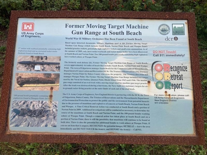
Former Moving Target Machine Gun Range at South Beach
World War II Military Ordnance Has Been Found at South Beach
Based upon historical documents, Military Munitions used at this Former Moving Target Machine Gun Range (which includes South Beach, Norton Point Beach and Wasque Point) included practice rockets, potentially high explosive rockets and small arms ammunition. As of the summer of 2009, only inert rocket warheads and rocket motor bodies have been discovered at South Beach and Norton Point. Two 100-pound bombs potentially containing high explosives have washed ashore at Wasque Point.
The formerly used defense site, Former Moving Target Machine Gun Range at South Beach, covers approximately 4.6 miles of beach that includes South Beach, Norton Point and Wasque Point. The town of Edgartown manages South Beach for the Commonwealth of Massachusetts Department of Conservation and Recreation (DCR). The Trustees of Reservations (The Trustees) manages Norton Point for Dukes County who owns the property. The Trustees also owns and manages Wasque Point. The Former Moving Target Machine Gun Range included two ranges used by the Naval Air Station, Quonset Point, Rhode Island from 1943 until 1946. The machine gun range consisted of an oval track with a moving target used for machine gun target practice. After the track was destroyed during a hurricane, the Navy built two stationary targets for air- to-ground rocket firing practice at the outer limits of each end of the oval track.
The U.S. Army Corps of Engineers, New England District is partnering with the DCR, the Town of Edgartown, Dukes County, The Trustees of Reservations and the Massachusetts Department of Environmental Protection to protect the public and the environment from potential hazards due to the presence of munitions and explosives of concern at South Beach, Norton Point Beach and Wasque. A Time Critical Removal Action was conducted at South Beach and a portion of Norton Point in 2009. Additional investigations will be conducted as necessary, to determine the source of the munitions at South Beach and Norton Point, and the 100-pound bombs washing ashore at Wasque Point. Though a removal action has taken place at South Beach and on a portion of Norton Point, there is still the possibility that munitions will continue to be found at both sites. There is also the potential for additional bombs to wash ashore at Wasque Point. If you see an item that is suspect, RECOGNIZE the potential danger, RETREAT – leave the area immediately and DO NOT TOUCH the item(s), and REPORT the item(s) - Call 911.
Captions
5” rocket with warhead potentially containing high explosives (top) and an encrusted rocket
motor (bottom) found at South Beach.
100-pound bomb potentially containing high explosives found at Wasques Point. (below)
Erected by US Army Corps of Engineers.
Topics. This historical marker is listed in these topic lists: Parks & Recreational Areas • War, World II. A significant historical year for this entry is 2009.
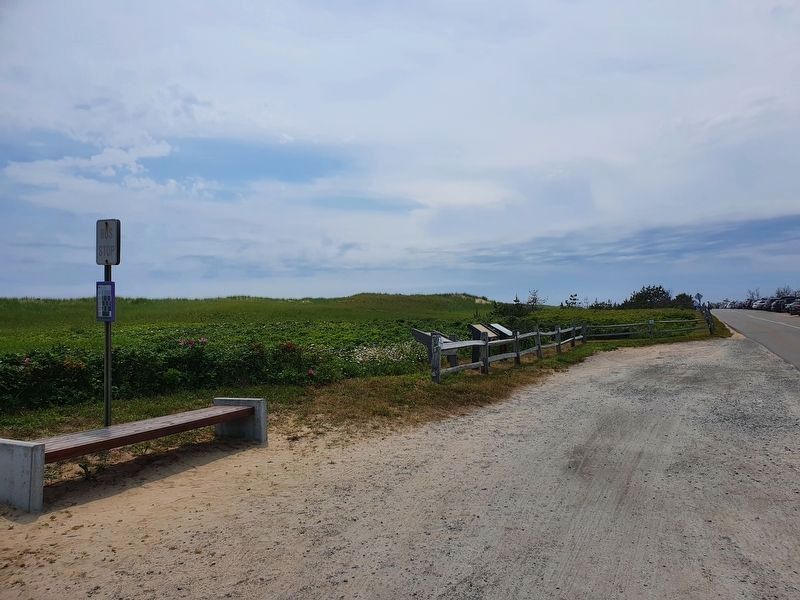
Location. 41° 20.962′ N, 70° 30.734′ W. Marker is near Edgartown, Massachusetts, in Dukes County. It is on Martha's Vineyard. Marker is on Atlantic Drive west of Katama Road, on the left when traveling west. Touch for map. Marker is in this post office area: Edgartown MA 02539, United States of America. Touch for directions.
Other nearby markers. At least 8 other markers are within 3 miles of this marker, measured as the crow flies. Pond Lot Preserve (approx. half a mile away); Frederick Douglass (approx. 2.7 miles away); Giant Pagoda Tree (approx. 2.7 miles away); 24 South Water Street (approx. 2.7 miles away); Home of Benjamin Smith (approx. 2.7 miles away); Edgartown World War II Memorial (approx. 2.8 miles away); Nancy Michael (approx. 2.8 miles away); Whale Memorial Park (approx. 2.8 miles away). Touch for a list and map of all markers in Edgartown.
Regarding Former Moving Target Machine Gun Range at South Beach. This marker, in different formats, is repeated at various locations along Katama Beach.
Credits. This page was last revised on July 26, 2021. It was originally submitted on October 23, 2020, by J. Makali Bruton of Accra, Ghana. This page has been viewed 169 times since then and 8 times this year. Photos: 1. submitted on October 23, 2020, by J. Makali Bruton of Accra, Ghana. 2. submitted on June 27, 2021, by J. Makali Bruton of Accra, Ghana.

