Parma in Monroe County, New York — The American Northeast (Mid-Atlantic)
Historic Parma Farmlands
Photographed by Lugnuts, October 23, 2020
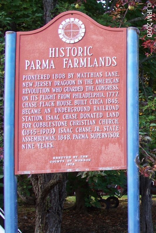
1. Historic Parma Farmlands Marker
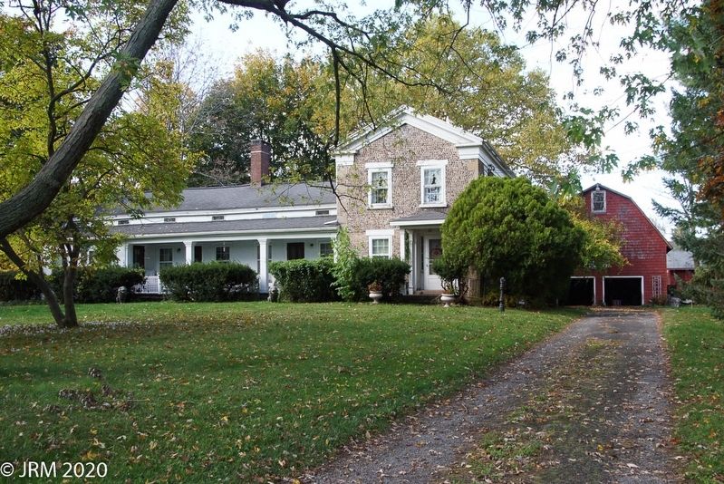
Pioneered 1808 by Matthias Lane, New Jersey Dragoon in the American Revolution who guarded the Congress on its flight from Philadelphia, 1777. Chase-Flack House, built circa 1845, became an Underground Railroad station. Isaac Chase donated land for Cobblestone Christian Church, (1845-1903) Isaac Chase, Jr., State Assemblyman, 1848, Parma Supervisor nine years.
Erected by the County of Monroe 1976
Erected 1976 by County of Monroe.
Topics. This historical marker is listed in these topic lists: African Americans • Agriculture • Architecture • Patriots & Patriotism. A significant historical year for this entry is 1808.
Location. 43° 15.329′ N, 77° 45.067′ W. Marker is in Parma, New York, in Monroe County. It is on Manitou Road (New York State Route 18) north of Latta Road ( Route 18), on the left when traveling north. Touch for map. Marker is at or near this postal address: 1191 Manitou Rd, Hilton NY 14468, United States of America. Touch for directions.

Regionally, this marker is in Upstate New York, specifically in Western New York, in the Finger Lakes, and in the Rochester Metropolitan Area. It is also in the American Northeast and in the Mid-Atlantic. Globally, it is in North America, on the Great Lakes, in the Western Hemisphere, in the Western World, and in the Anglosphere. Historically, it finds itself in what was once the Haudenosaunee (Iroquois) Confederacy, New Netherland, and one of the original Thirteen Colonies.
Other nearby markers. At least 8 other markers are within 3 miles of this marker, measured as the crow flies: Rev War Veteran (approx. 1.1 miles away); Parma (approx. 2 miles away); In Memory of All Who Served (approx. 2 miles away); Little White Meetinghouse (approx. 2.2 miles away); Liberty Tree Memorial (approx. 2.6 miles away); Hojack Railroad (approx.
this page online
Photographed by Lugnuts, October 23, 2020
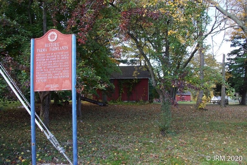
2. Historic Parma Farmlands Marker
Photographed by Lugnuts, October 23, 2020
3. Chase-Flack Cobblestone Farmhouse
Photographed by Lugnuts, October 23, 2020
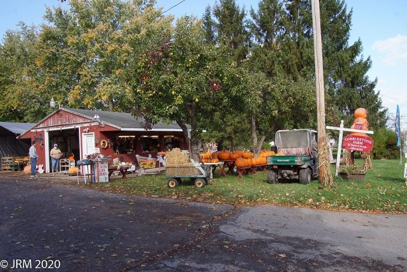
4. Farm Market
This is an operating farm and produce is for sale at this stand on Manitou Road.
Credits. This page was last revised on October 26, 2020. It was originally submitted on October 23, 2020, by Lugnuts of Germantown, Wisconsin. This page has been viewed 558 times since then and 37 times this year. Photos: 1, 2, 3, 4. submitted on October 23, 2020, by Lugnuts of Germantown, Wisconsin. • Michael Herrick was the editor who published this page.
