The Role of Fire
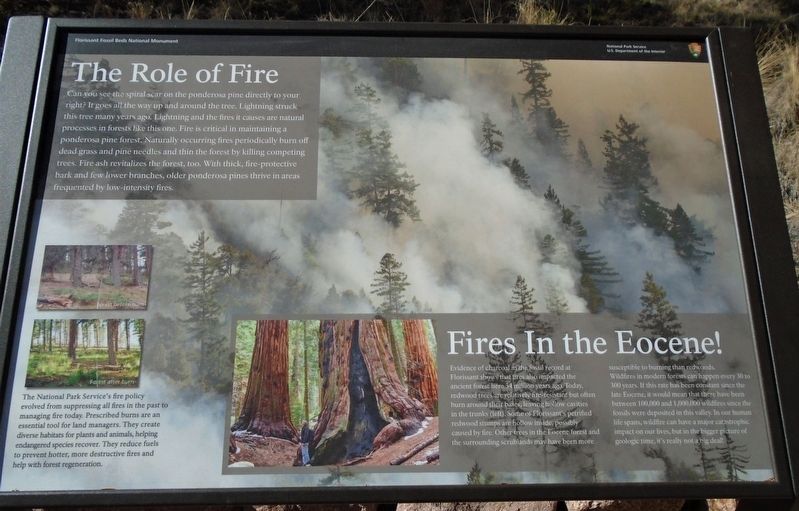
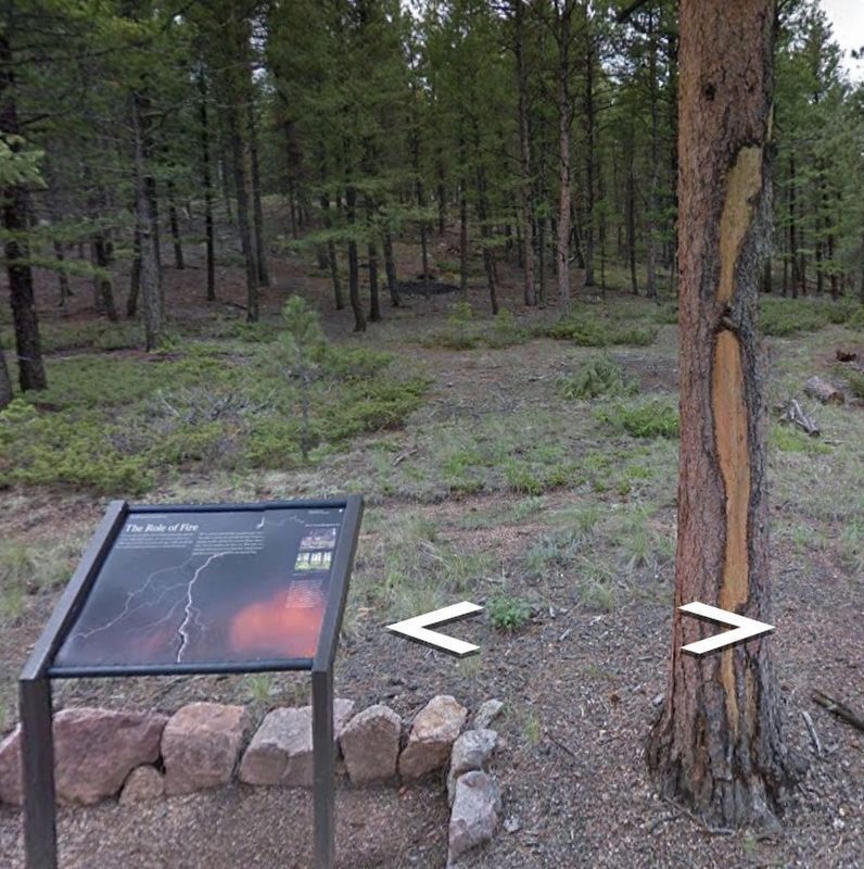
Can you see the spiral scar on the ponderosa pine directly to your right? It goes all the way up and around the tree. Lightning struck this tree many years ago. Lightning and the fires it causes are natural processes in forests like this one. Fire is critical in maintaining a ponderosa pine forest. Naturally occurring fires periodically burn off dead grass and pine needles and thin the forest by killing competing trees. Fire ash revitalizaes the forest, too. With thick, fire-protective bark and few lower branches, older ponderosa pines thrive in areas frequented by low-intensity fires.
Fires In the Eocene!
Evidence of charcoal in the fossil record at Florissant shows that fires also impacted the ancient forest here 34 million years ago. Today, redwood trees are relatively fire-resistant but often burn around their bases, leaving hollow cavities in the trunks (left [photo]). Some of Florissant's petrified redwood stumps are hollow inside, possibly caused by fire. Other trees in the Eocene forest and the surrounding scrublands may have been more susceptible to burning than redwoods.
Wildfires in modern forests can happen every 30 to 300 years. If this rate has been constant since the late Eocene, it would mean that there have been between 100,000 and 1,000,000 wildfires since the fossils were deposited in this valley.
In our human life spans, wildfires can have a major catastrophic impact on our lives, but in the bigger picture of geologic time, it's really not a big deal!
[Bottom left photos, pre- and post-burn]
The National Park Service's fire policy evolved from suppressing all fires in the past to managing fire today. Prescribed burns are an essential tool for land managers. They create diverse habitats for plants and animals, helping endangered species recover. They reduce fuels to prevent hotter, more destructive fires and help with forest regeneration.
Erected by National Park Service.
Topics. This historical marker is listed in these topic lists: Education • Environment • Paleontology • Science & Medicine.
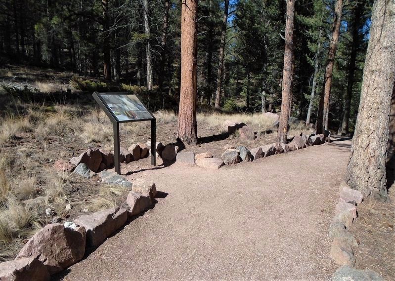
Location. 38° 54.802′ N, 105° 17.227′ W. Marker is near Florissant, Colorado, in Teller County. Marker is along the Ponderosa Loop Trail at Florissant Fossil Beds National Monument. Touch for map. Marker is at or near this postal address: 15807 County Road 1, Florissant CO 80816, United States of America. Touch for directions.
Other nearby markers. At least 8 other markers are within walking distance of this marker. Changes Within Habitats (within shouting distance of this marker); Delicate Impressions (within shouting distance of this marker); Florissant Valley Today (within shouting distance of this marker); Layers of Time
Also see . . .
1. Florissant Fossil Beds National Monument. (Submitted on October 23, 2020, by William Fischer, Jr. of Scranton, Pennsylvania.)
2. Managing Fire (USDA, USFS). (Submitted on October 23, 2020, by William Fischer, Jr. of Scranton, Pennsylvania.)
3. Understanding the Role of Fire in Forest Management Lesson Plan. (Submitted on October 23, 2020, by William Fischer, Jr. of Scranton, Pennsylvania.)
Credits. This page was last revised on October 29, 2020. It was originally submitted on October 23, 2020, by William Fischer, Jr. of Scranton, Pennsylvania. This page has been viewed 218 times since then and 41 times this year. Photos: 1, 2, 3. submitted on October 23, 2020, by William Fischer, Jr. of Scranton, Pennsylvania.


