Peaks to Pastures
Collegiate Peaks Scenic and Historic Byway
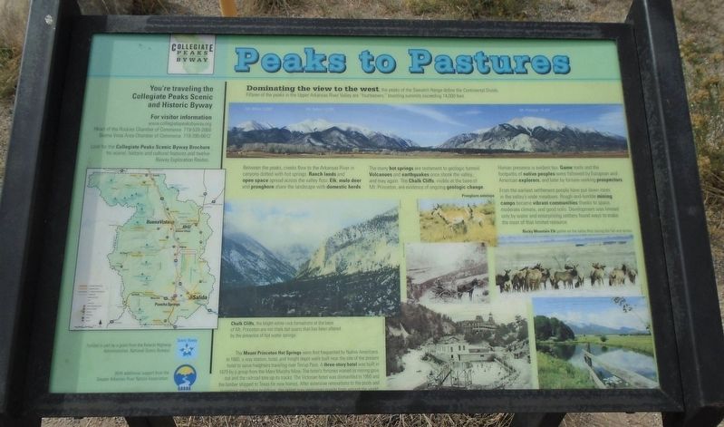
Dominating the view to the west, the peaks of the Sawatch Range define the Continental Divide. Fifteen of the peaks in the Upper Arkansas River Valley are "fourteeners," boasting summits exceeding 14,000 feet.
Between the peaks, creeks flow to the Arkansas River in canyons dotted with hot springs. Ranch lands and open space spread across the valley floor. Elk, mule deer and pronghorn share the landscape with domestic herds.
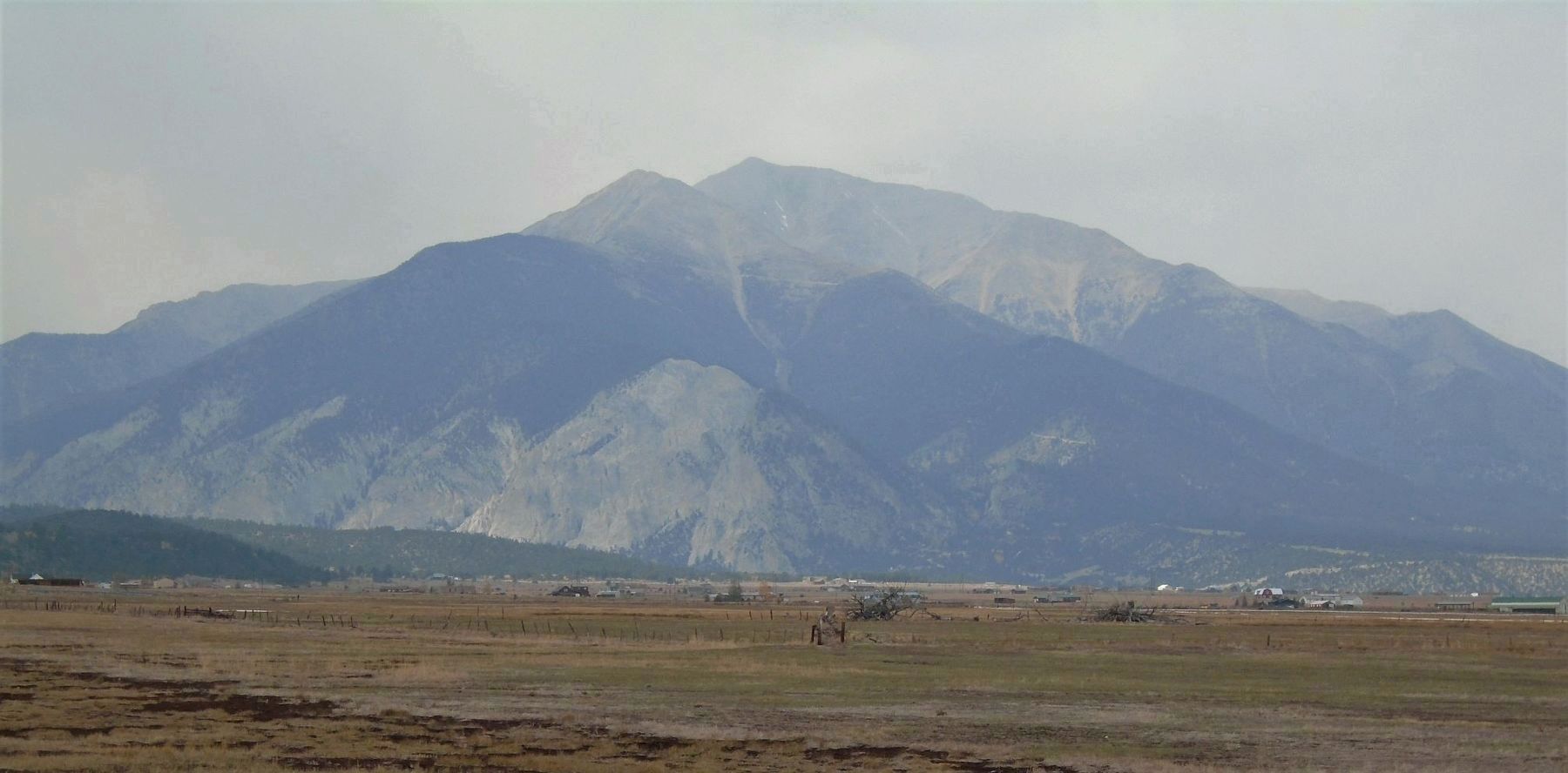
The many hot springs are testament to geologic turmoil. Volcanoes and earthquakes once shook the valley, and may again. The Chalk Cliffs, visible at the base of Mt. Princeton, are evidence of ongoing geologic change.
Human presence is evident too. Game trails and the footpaths of native peoples were followed by European and American explorers, and later by fortune-seeking prospectors.
From the earliest settlement people have put down roots in the valley's wide meadows. Rough-and-tumble mining camps became vibrant communities thanks to space, moderate climate, and good soils. Development was limited only by water and enterprising settlers found ways to make the most of that limited resource.
[Bottom center photo captions read]
• Chalk Cliffs, the bright
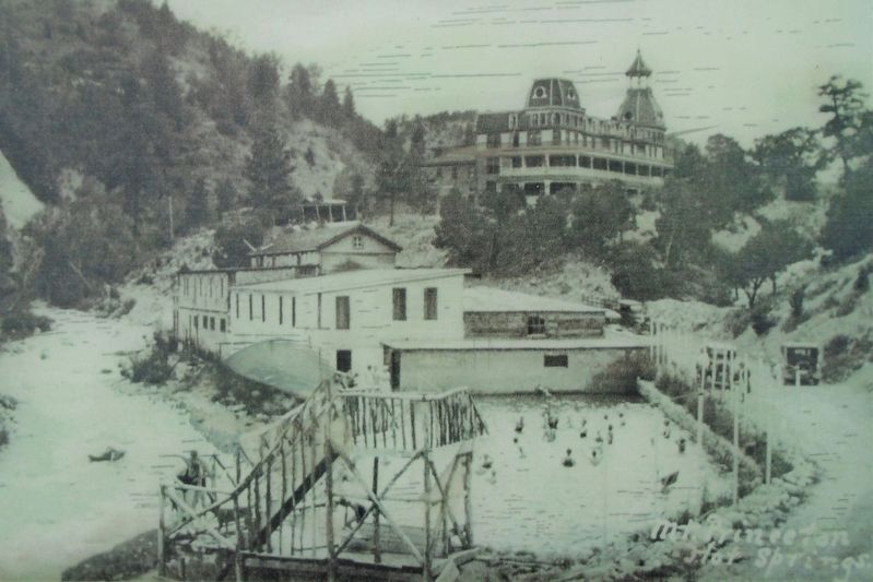
• The Mount Princeton Hot Springs were first frequented by Native Americans. In 1860, a way station, hotel, and freight depot were built near the site of the present hotel to serve freighters traveling over Tincup Pass. A three-story hotel was built in 1879 by a group from the Mary Murphy Mine. The hotel's fortunes waned as mining gave out and the railroad tore up its tracks. The Victorian hotel was dismantled in 1950 and the lumber shipped to Texas for new homes. After extensive renovations to the pools and numerous new lodge buildings, the resort now welcomes guests from around the world.
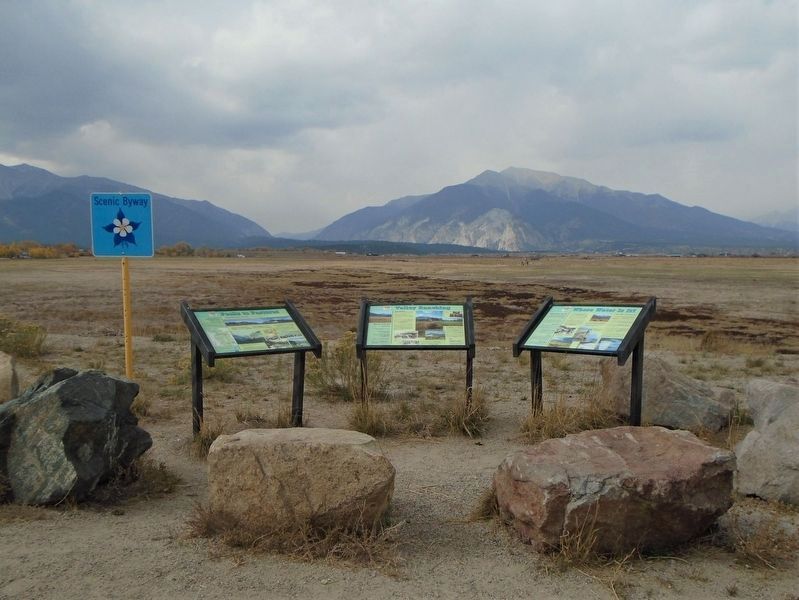
Erected 2009 by Collegiate Peaks Byway, National Scenic Byways, and Greater Arkansas River Nature Association.
Topics. This historical marker is listed in these topic lists: Environment • Exploration • Settlements & Settlers. A significant historical year for this entry is 1860.
Location. 38° 42.677′ N, 106° 5.518′ W. Marker is near Nathrop, Colorado, in Chaffee County. Marker is on U.S. 285, 2 miles south of Chalk Creek Drive, on the right when traveling south. Marker is at a roadside scenic pulloff. Touch for map. Marker is in this post office area: Nathrop CO 81236, United States of America. Touch for directions.
Other nearby markers. At least 7 other markers
Also see . . .
1. Collegiate Peaks. Colorado Tourism website entry (Submitted on July 22, 2021, by Larry Gertner of New York, New York.)
2. Conservation Plan – Collegiate Peaks Scenic and Historic Byway. Greater Arkansas River Nature Association website entry (Submitted on October 24, 2020, by William Fischer, Jr. of Scranton, Pennsylvania.)
Credits. This page was last revised on July 22, 2021. It was originally submitted on October 24, 2020, by William Fischer, Jr. of Scranton, Pennsylvania. This page has been viewed 185 times since then and 15 times this year. Photos: 1, 2, 3, 4. submitted on October 24, 2020, by William Fischer, Jr. of Scranton, Pennsylvania.


