Near Corbett in Multnomah County, Oregon — The American West (Northwest)
Rooster Rock State Park
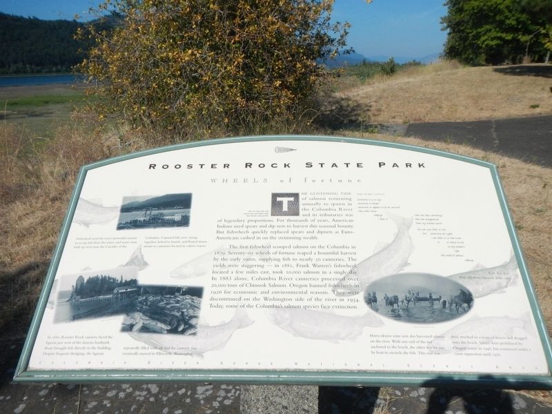
WHEELS of fortune
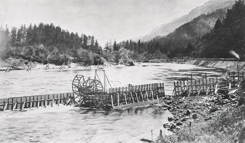
The first fishwheel scooped salmon on the Columbia in 1879. Seventy-six wheels of fortune reaped a bountiful harvest by the early 1900s, supplying fish to nearly 50 canneries. The yields were staggering - in 1881, Frank Warren's fishwheel, located a few miles east, took 10,000 salmon in a single day. In 1883 alone, Columbia River canneries processed over 20,000 tons of Chinook Salmon. Oregon banned fishwheels in 1926 for economic and environmental reasons. They were discontinued on the Washington side of the river in 1934. Today, some of the Columbia's salmon species face extinction.
sometimes it is a song
sometimes a whisper
sometimes it appears to be an animal
then other times
weeping
i hear it
that has been something
that has disappeared
from my earth
i'm not sure what it was
but sometimes at night
i can hear it in the wind
or it comes to me
in my dreams
like
the smell of salmon cooking
Ed Edmo, poet, Shoshone-Banncock Tribe, 1988
Erected by Columbia River Gorge National Scenic Area.
Topics. This historical marker is listed in these topic lists: Animals • Industry & Commerce • Man-Made Features. A significant historical year for this entry is 1879.
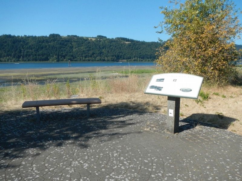
Location. 45° 32.832′ N, 122° 14.167′ W. Marker is near Corbett, Oregon, in Multnomah County. Marker is on Rooster Rock Park near Interstate 84. This marker is located at Rooster Rock State Park. Touch for map. Marker is in this post office area: Corbett OR 97019, United States of America. Touch for directions.
Other nearby markers. At least 8 other markers are within 2 miles of this marker, measured as the crow flies. Camping Among the Giants (here, next to this marker); Lewis and Clark Expedition (a few steps from this marker); Samuel C. Lancaster (approx. 0.7 miles away); Marshall N. Dana (approx. 0.7 miles away); Vista House (approx. 0.7 miles away); Chanticleer Point (approx. 1˝ miles away); a different marker also named Chanticleer Point (approx. 1˝ miles away); Samuel Hill – “Road Builder” (approx. 1˝ miles away). Touch for a list and map of all markers in Corbett.
Credits. This page was last revised on December 21, 2020. It was originally submitted on October 24, 2020, by Barry Swackhamer of Brentwood, California. This page has been viewed 147 times since then and 19 times this year. Photos: 1, 2, 3. submitted on October 24, 2020, by Barry Swackhamer of Brentwood, California.


