Matagorda in Matagorda County, Texas — The American South (West South Central)
Matagorda Cemetery
Photographed by James Hulse, October 11, 2020
1. Matagorda Cemetery Marker
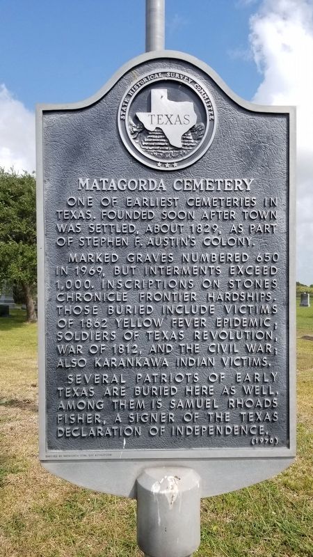
One of earliest cemeteries in Texas. Founded soon after town was settled, about 1829, as part of Stephen F. Austin's colony. Marked graves numbered 650 in 1969, but interments exceed 1,000. Inscriptions on stones chronicle frontier hardships. Those buried include victims of 1862 Yellow Fever Epidemic; Soldiers of Texas Revolution, War of 1812, and the Civil War; also Karankawa Indian victims. Several patriots of early Texas are buried here as well. Among them is Samuel Rhoads Fisher, a signer of the Texas Declaration of Independence.
Erected 1970 by State Historical Survey Committee. (Marker Number 3250.)
Topics. This historical marker is listed in this topic list: Cemeteries & Burial Sites. A significant historical year for this entry is 1829.
Location. 28° 42.07′ N, 95° 57.337′ W. Marker is in Matagorda, Texas, in Matagorda County. It is on Matagorda Cemetery Road 0.1 miles north of South Gulf Road, on the left when traveling south. The marker is in the center section of the cemetery and east of the main entrance. Touch for map. Marker is in this post office area: Matagorda TX 77457, United States of America. Touch for directions.

Regionally, this marker is in the American South and on the Gulf Coast. Globally, it is in North America, a Gulf of Mexico state, the Western Hemisphere, the Western World, and the Anglosphere. Historically, it finds itself in what was once New Spain, the Republic of Texas, one of the Confederate States of America, and the Antebellum South.
Other nearby markers. At least 8 other markers are within walking distance of this marker: The Yellow Fever Epidemic of 1862 (here, next to this marker); James Henry Selkirk (a few steps from this marker); First Burials in Matagorda Cemetery (a few steps from this marker); Graves of Unknown Matagorda Settlers (within shouting
this page online
Also see . . . Matagorda Texas. TSHA Texas State Historical Association (Submitted on October 25, 2020, by James Hulse of Medina, Texas.)
Photographed by James Hulse, October 11, 2020
2. Matagorda Cemetery Marker
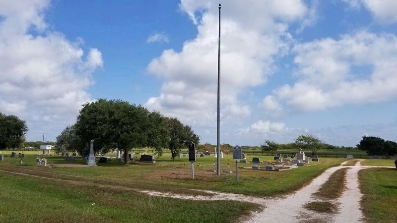
The Matagorda Cemetery marker is the right marker of the two markers.
Photographed by James Hulse, October 11, 2020
3. Matagorda Cemetery Marker
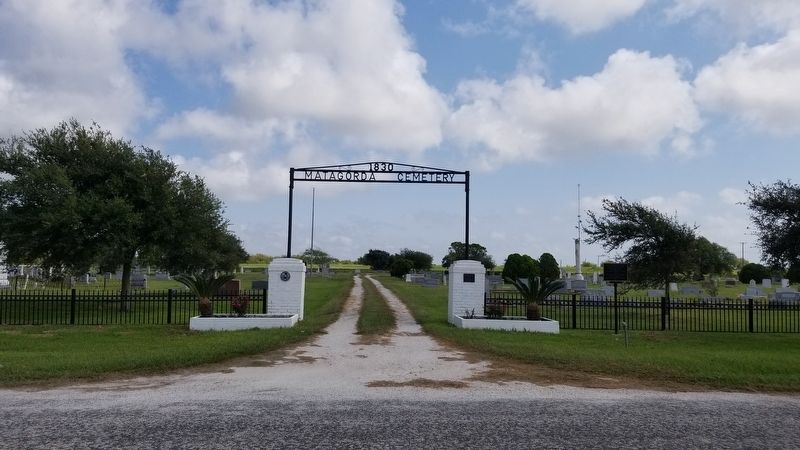
The marker is near the flagpole through the main entrance.
Credits. This page was last revised on October 25, 2020. It was originally submitted on October 25, 2020, by James Hulse of Medina, Texas. This page has been viewed 1,014 times since then and 82 times this year. Photos: 1, 2, 3. submitted on October 25, 2020, by James Hulse of Medina, Texas. • J. Makali Bruton was the editor who published this page.
