Furnace Creek in Death Valley National Park in Inyo County, California — The American West (Pacific Coastal)
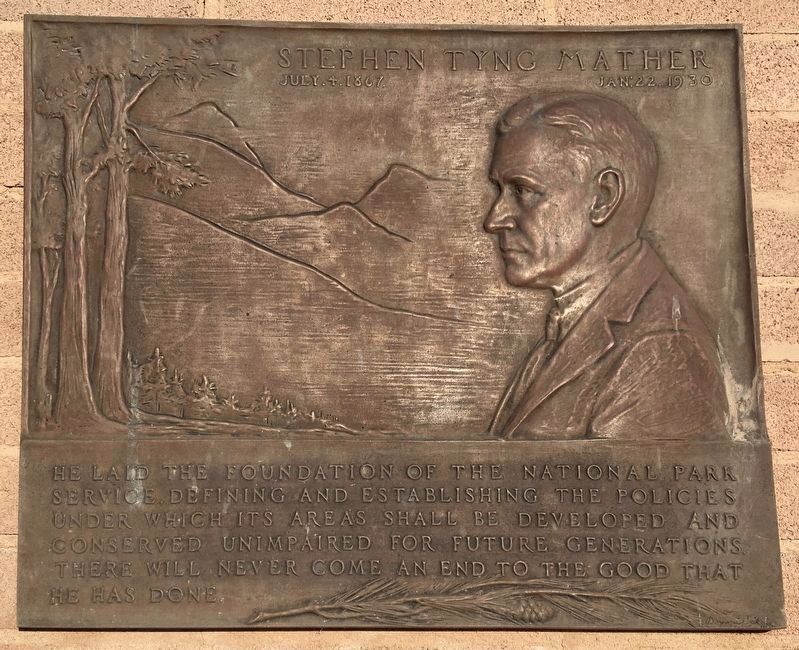
Stephen Tyng Mather
| — | July 4, 1867 - Jan. 22, 1930 | — |
Photographed by Craig Baker, October 26, 2020
1. Stephen Tyng Mather Marker
He laid the foundation of the National Park Service, defining and establishing the policies under which its areas shall be developed and conserved unimpaired for future generations. There will never come an end to the good that he has done.
Erected by National Park Service.
Topics and series. This historical marker is listed in these topic lists: Charity & Public Work • Environment. In addition, it is included in the Stephen Tyng Mather series list. A significant historical year for this entry is 1917.
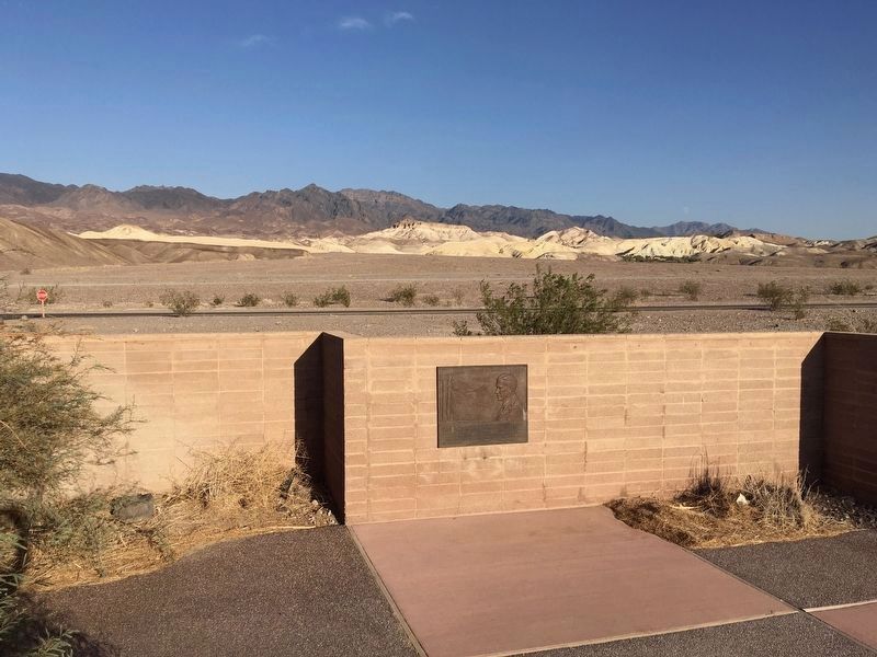
Location. 36° 27.716′ N, 116° 51.983′ W. Marker is in Death Valley National Park, California, in Inyo County. It is in Furnace Creek. It can be reached from Airport Road just west of California Route 190. Located in the courtyard behind the Furnace Creek Visitor Center. Touch for map. Marker is in this post office area: Death Valley CA 92328, United States of America. Touch for directions.

Regionally, this marker is in California’s Sierra Nevada. It is also in the American Mountain West. Globally, it is in North America, on the Ring of Fire, on the Pacific Rim, in the Western Hemisphere, in the Western
this page online
Other nearby markers. At least 8 other markers are within 2 miles of this marker, measured as the crow flies: Old Dinah (approx. 0.3 miles away); Borax Museum (approx. 0.4 miles away); Furnace Creek Ranch, Death Valley (approx. 0.4 miles away); 20 Mule Team Wagon Train (approx. 0.4 miles away); Vietnam Veterans Memorial (approx. 0.4 miles away); Death Valley 49ers Gateway (approx. 1.2 miles away); Old Harmony Borax Works (approx. 1.3 miles away); Borax (approx. 1.3 miles away). Touch for a list and map of all markers in Death Valley National Park.
Another marker is no longer nearby. 20 Mule Team Barn (was approx. 0.4 miles away but has been permanently removed).
Regarding Stephen Tyng Mather. Twenty Mule Teams hauled borates from the Death Valley mines to the closest railway, in the town of Mojave, a distance of 165 miles across the desert. These teams were later made famous by the effective corporate branding of Pacific Coast Borax (and continued by U.S. Borax), including popular radio and TV
Photographed by Craig Baker, October 26, 2020
2. Stephen Tyng Mather Marker
Also see . . . Mather Plaques History. — “When it comes to Mather Plaques, they are spread out from Alaska to the Virgin Islands, Maine to Hawaii. They cover the gamut of National Parks, Monuments, a Sea Shore, Parkways, Memorials, a Preserve, a Battlefield, Recreation Areas, Historical Parks, Historic Sites, three administrative offices, a couple of State Parks, a city park, and two schools. They are in 16 UNESCO Biosphere Reserves. They are in 11 World Heritage Sites.” (Submitted on April 14, 2022, by Craig Baker of Sylmar, California.)
Additional keywords. Stephen T. Mather, Stephen T Mather, Stephen Mather, Twenty Mule Teams, Borax,
Photographed by Travis Mason-Bushman
3. Stephen Tyng Mather Marker
Credits. This page was last revised on July 15, 2026. It was originally submitted on January 6, 2014, by Travis Mason-Bushman of Rapid City, South Dakota. This page has been viewed 1,107 times since then and 28 times this year. Last updated on October 25, 2020, by Craig Baker of Sylmar, California. Photos: 1, 2. submitted on October 27, 2020, by Craig Baker of Sylmar, California. 3. submitted on January 6, 2014, by Travis Mason-Bushman of Rapid City, South Dakota. • Syd Whittle was the editor who published this page.
