Plymouth in Benton County, Washington — The American West (Northwest)
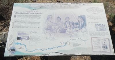
Strangers "from the clouds"
Inscription.
On October 19, 1805, William Clark and three men traveling ahead of the rest of the party arrived at a Umatilla village near here. Upon seeing Clark, the villagers ran back to their lodges and closed their doors. Clark opened the door to one lodge, went inside with pipe in hand, and found them in great distress. By signing, he tried to assure them of his peaceful intentions.
Just before he went to the village, Clark has shot and killed a crane. The sound of the gun, the sight of the bird falling from the sky, and the sudden approach of the strange-looked explores caused great concern among the villages. Clark said the villagers thought he and his party came "from the clouds ... and were not men."
The People of This Land
The Columbia River and surrounding plains provided abundant resources. This region was heavily populated when the Expedition passed through in 1805-06, Clark wrote, "I Saw Several Horses and persons on hors back in the plains ... Encamped ... nearly opposit to 24 Lodges ... This Tribe can raise about 350 men."
October 19, 1805
"found 32 persons men, women and a few children ... in the greatest agutation. Some crying and ringing there (sic) hands, others hanging their heads. I gave my hand to them all and made Signs of my friendly dispotion and offered the men my pipe ..."
"as Soon as they Saw the ... wife of the interperters (Sacagawea) they pointed to her and imediately all came out and appeared to assume new life .... the sight of This Indian women ... confirmed those people of our friendly intentions..." ~ William Clark ~
Lost in Translation
Not all encountered with American Indian tribes went smoothly. Local tribes spoke a variety of languages the explorers were unfamiliar with. Conversations often flowed through a series of translations - sign language, multiple native languages, French and English - taking a long time to complete. Not all signs of friendship, such as Clark's handshake and unannounced visit, were universally understood.
Umatilla People The Umatilla tribes lived along the banks of the Columbia and Umatilla rivers, in the midst of one of the world's richest fisheries. Now part of the Confederated Tribes of the Umatilla Indians Reservation, the tribe is actively involved in this region. In you journal keep track of the names of tribes along the Lewis and Clark Trail.
Erected by Lewis & Clark Expedition - Washington.
Topics and series. This historical marker is listed in these topic lists:
Exploration • Native Americans. In addition, it is included in the Lewis & Clark Expedition series list. A significant historical date for this entry is October 19, 1805.
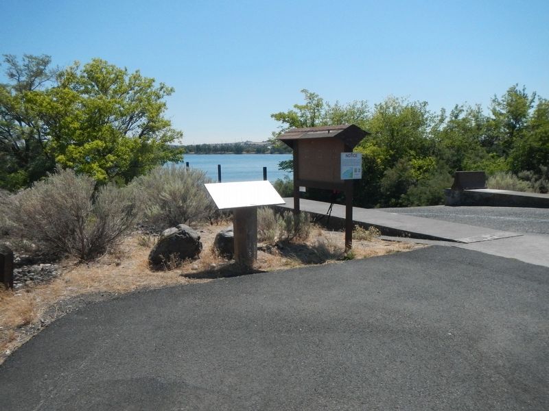
Location. 45° 55.775′ N, 119° 21.158′ W. Marker is in Plymouth, Washington, in Benton County. Marker can be reached from Plymouth Park Road near Christy Road. The marker is located in Plymouth Park, near the boat launch ramp. Touch for map. Marker is in this post office area: Plymouth WA 99346, United States of America. Touch for directions.
Other nearby markers. At least 8 other markers are within 9 miles of this marker, measured as the crow flies. Patímaša Tiičámna (approx. 2.4 miles away in Oregon); Cayuse, Umatilla and Walla Walla Homeland (approx. 2.4 miles away in Oregon); The Lewis and Clark Expedition (approx. 2.4 miles away in Oregon); The Umatilla Rapids (approx. 2.4 miles away in Oregon); How Do You Make a Hat? (approx. 8.8 miles away in Oregon); Naamí Tiičám Ku Waqíšwit (approx. 8.9 miles away in Oregon); A Team of Discovery (approx. 8.9 miles away in Oregon); It's All Downhill From Here (approx. 8.9 miles away in Oregon).
Credits. This page was last revised on October 26, 2020. It was originally submitted on October 25, 2020, by Barry Swackhamer of Brentwood, California. This page has been viewed 260 times since then and 26 times this year. Photos: 1, 2. submitted on October 25, 2020, by Barry Swackhamer of Brentwood, California.

