St. Michaels in Talbot County, Maryland — The American Northeast (Mid-Atlantic)
Lost Overboard
Chesapeake Bay Maritime Museum
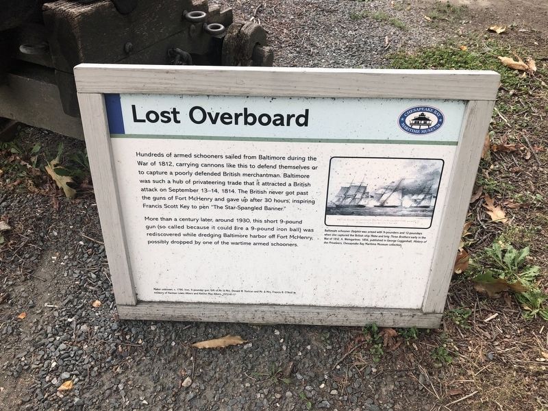
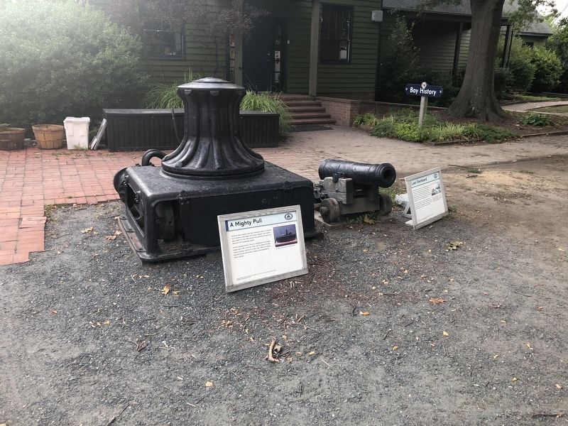
Hundreds of armed schooners sailed from Baltimore during the War of 1812, carrying cannons like this to defend themselves or to capture a poorly defended British merchantman. Baltimore was such a hub of privateering trade that it attracted a British attack on September 13-14, 1814. The British never got past the guns of Fort McHenry and gave up after 30 hours, inspiring Francis Scott Key to pen "The Star-Spangled Banner."
More than a century later, around 1930, this short 9-pound gun (so called because it could fire a 9-pound iron ball) was rediscovered while dredging Baltimore harbor off Fort McHenry, possibly dropped by one of the wartime armed schooners.
[Caption:]
Baltimore schooner Dolphin was armed with 9-pounders and 12-pounders when she captured the British ship Hebe and brig Three Brothers early in the War of 1812. A. Weingartner, 1856, published in George Coggleshall, History of the Privateers, Chesapeake Bay Maritime Museum collection.
Maker unknown c. 1790. Iron, 9-pounder gun. Gift of Mr. & Mrs. Donald W. Duncan and Mr. & Mrs. Francis B. O'Neill in memory of Harman Lewis Albers and Kerchin May Albers, 1972-61-1.
Erected by Chesapeake Bay Maritime Museum.
Topics. This historical marker is listed in these topic lists: Forts and Castles • War of 1812 • Waterways & Vessels. A significant historical date for this entry is September 13, 1814.
Location. 38° 47.248′ N, 76° 13.212′ W. Marker is in St. Michaels, Maryland, in Talbot County. Marker can be reached from Mill Street just east of Burns Street, on the right when traveling east. Touch for map. Marker is at or near this postal address: 213 North Talbot Street, Saint Michaels MD 21663, United States of America. Touch for directions.
Other nearby markers. At least 8 other markers are within walking distance of this marker. A Mighty Pull (here, next to this marker); For Whom the Bell Tolls (a few steps from this marker); Skipjack Centerboard (a few steps from this marker); Bugeye Design (a few steps from this marker); Hooper Straight Light's Twin (a few steps from this marker); Restoration (within shouting distance of this marker); Edna E. Lockwood (within shouting distance of this marker); Bugeyes and Oystering (within shouting distance of this marker). Touch for a list and map of all markers in St. Michaels.
Credits. This page was last revised on January 10, 2023. It was originally submitted on August 25, 2019, by Devry Becker Jones of Washington, District of Columbia. This page has been viewed 241 times since then and 8 times this year. Last updated on October 25, 2020, by Carl Gordon Moore Jr. of North East, Maryland. Photos: 1, 2. submitted on August 25, 2019, by Devry Becker Jones of Washington, District of Columbia.

