
Reno in Washoe County, Nevada — The American Mountains (Southwest)
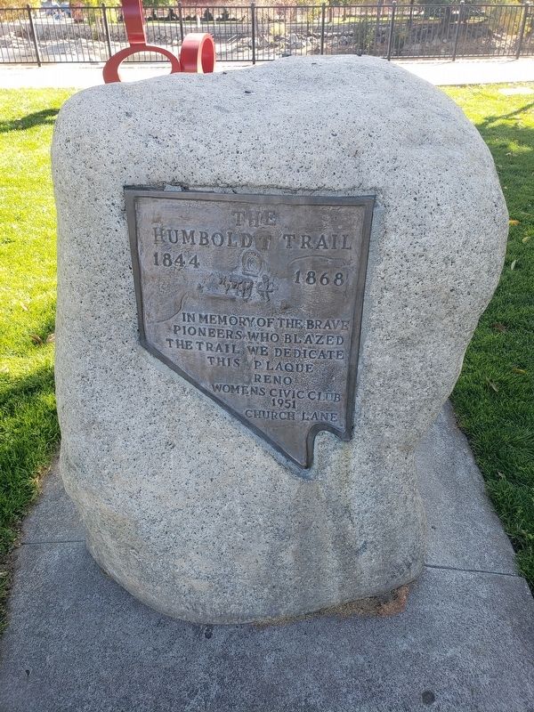
The Humboldt Trail
1844 - 1868
Photographed by Michael Fuess, October 25, 2020
1. The Humboldt Trail Marker
In memory of the brave pioneers who blazed the trail we dedicate this plaque
Erected 1951 by Reno Womens Civic Club 1951 Church Lane.
Topics. This historical marker is listed in these topic lists: Roads & Vehicles • Settlements & Settlers. A significant historical year for this entry is 1844.
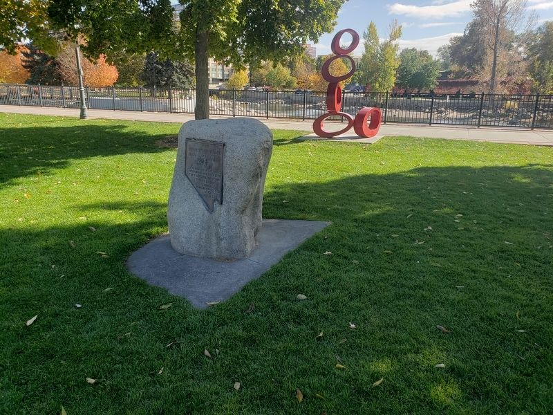
Location. 39° 31.464′ N, 119° 49.108′ W. Marker is in Reno, Nevada, in Washoe County. It is on West 1st St, on the right when traveling east. Located in Bicentennial Park. Touch for map. Marker is in this post office area: Reno NV 89501, United States of America. Touch for directions.

Regionally, this marker is in the Sierra Nevada and in the Lake Tahoe Basin. It is also in the American Mountain West. Globally, it is in North America, the Western Hemisphere, the Western World, and the Anglosphere. Historically, it finds itself in what was once New Spain and also Mexico’s Alta California.
Other nearby markers. At least 8 other markers are within walking distance of this marker: The Truckee River (approx. 0.2 miles away); Lake Mansion (approx. 0.2 miles away); Reno's Beginning (approx. ¼ mile away); The Virginia Street Bridges
this page online
Photographed by Michael Fuess, October 25, 2020
2. The Humboldt Trail Marker
Credits. This page was last revised on March 9, 2026. It was originally submitted on October 25, 2020, by Michael Fuess of Reno, Nevada. This page has been viewed 393 times since then and 36 times this year. Photos: 1, 2. submitted on October 25, 2020, by Michael Fuess of Reno, Nevada. • Syd Whittle was the editor who published this page.
