Soulard in St. Louis, Missouri — The American Midwest (Upper Plains)
Martie "Murph" Aboussie Park
March 2, 1909 - December 31, 1970
Photographed by Jason Voigt, October 24, 2020
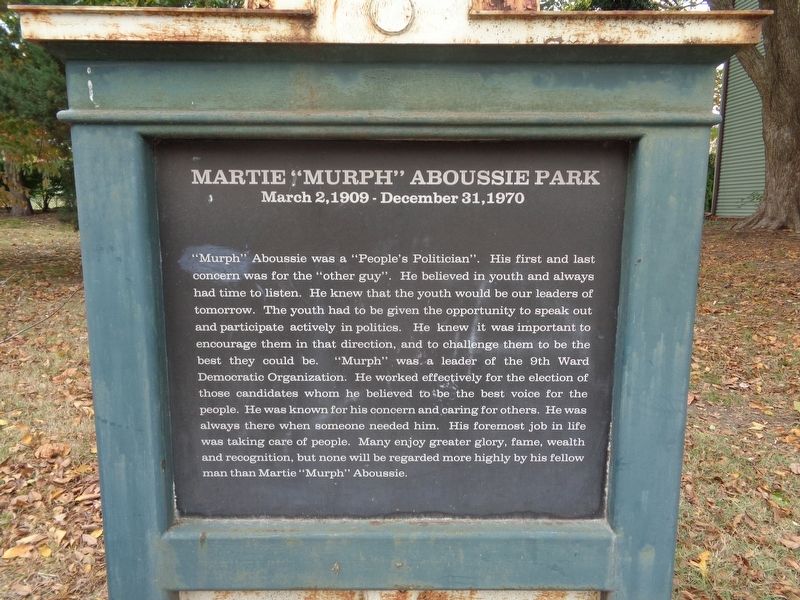
1. Martie "Murph" Aboussie Park Marker
Inscription.
Martie "Murph" Aboussie Park. March 2, 1909 - December 31, 1970. "Murph" Aboussie was a "People's Politician". His first and last concern was for the "other guy". He believed in youth and always had time to listen. He knew that the youth would be our leaders of tomorrow. The youth had to be given the opportunity to speak out and participate actively in politics. He knew it was important to encourage them in that direction, and to challenge them to be the best they could be. "Murph" was a leader of the 9th Ward Democratic Organization. He worked effectively for the election of those candidates whom he believed to be the best voice for the people. He was known for his concern and caring for others. He was always there when someone needed him. His foremost job in life was taking care of people. Many enjoy greater glory, fame, wealth and recognition, but none will be regarded more highly by his fellow man than Martie "Murph" Aboussie.
"Murph" Aboussie was a "People's Politician". His first and last concern was for the "other guy". He believed in youth and always had time to listen. He knew that the youth would be our leaders of tomorrow. The youth had to be given the opportunity to speak out and participate actively in politics. He knew it was important to encourage them in that direction, and to challenge them to be the best they could be. "Murph" was a leader of the 9th Ward Democratic Organization. He worked effectively for the election of those candidates whom he believed to be the best voice for the people. He was known for his concern and caring for others. He was always there when someone needed him. His foremost job in life was taking care of people. Many enjoy greater glory, fame, wealth and recognition, but none will be regarded more highly by his fellow man than Martie "Murph" Aboussie.
Location. 38° 36.121′ N, 90° 12.841′ W. Marker is in St. Louis, Missouri. It is in Soulard.
Click or scan to see this page online
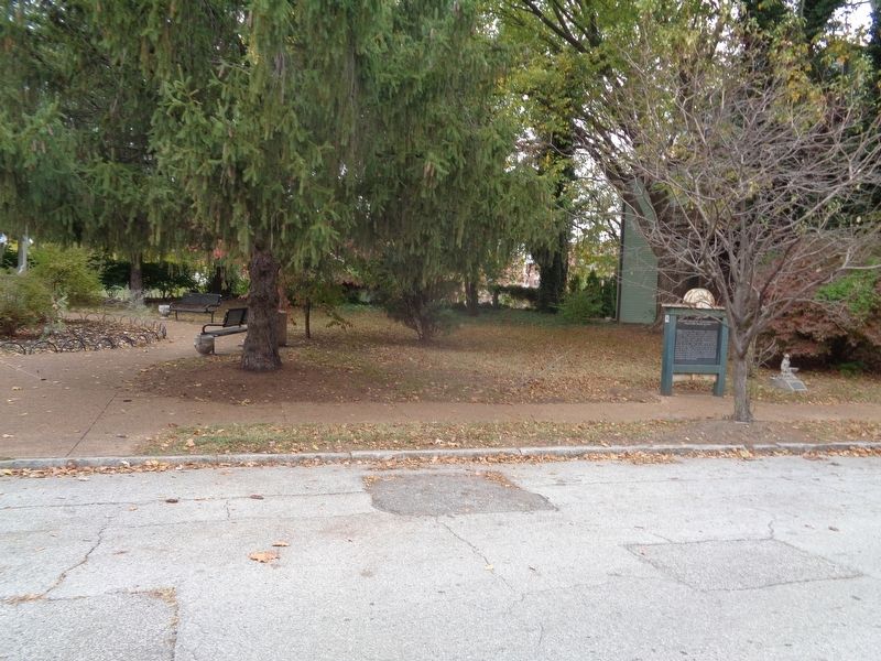
It is on South 13th Street north of Lynch Street, on the right when traveling south. Marker is on the north side of Aboussie Park. Touch for map. Marker is at or near this postal address: 2615 S 13th St, Saint Louis MO 63118, United States of America. Touch for directions.
Regionally, this marker is in the American Midwest, in the Lewis & Clark Corridor, in the Corn Belt, and in the Great River Road Region. Globally, it is in North America, the Western Hemisphere, the Western World, and the Anglosphere. Historically, it finds itself in what was once the territory of the Mississippian Culture, the Louisiana Purchase, and the Antebellum South.
Also see . . . Aboussie Park on Wikipedia. Established in 1981. At 0.4 acres, it is the City of St. Louis' smallest park. (Submitted on October 25, 2020, by Jason Voigt of Glen Carbon, Illinois.)
Photographed by Jason Voigt, October 24, 2020
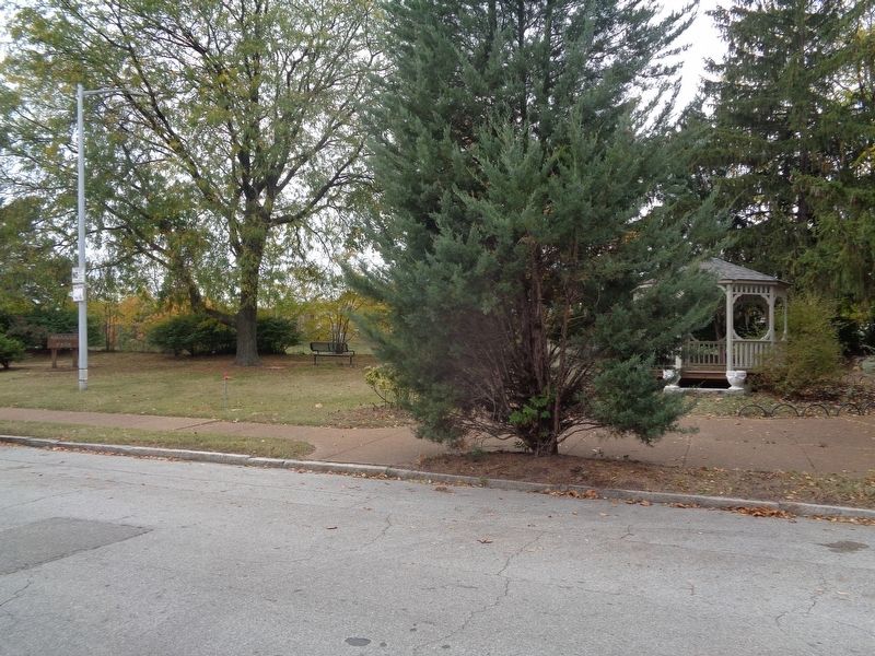
3. Aboussie Park
A shot of the small park
Credits. This page was last revised on January 30, 2023. It was originally submitted on October 25, 2020, by Jason Voigt of Glen Carbon, Illinois. This page has been viewed 513 times since then and 31 times this year. Photos:1, 2, 3. submitted on October 25, 2020, by Jason Voigt of Glen Carbon, Illinois.