White City in Autauga County, Alabama — The American South (East South Central)
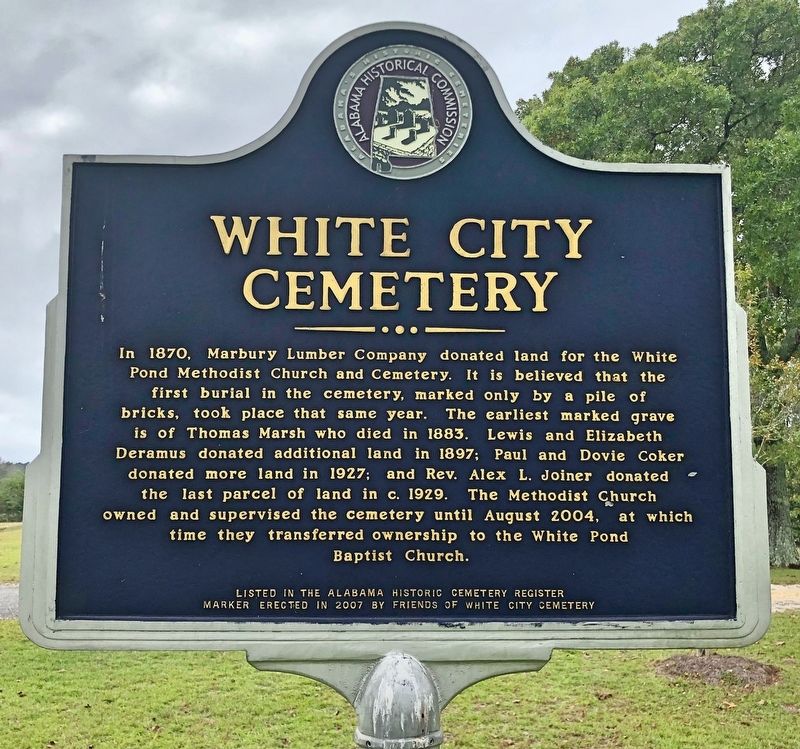
White City Cemetery
Photographed by Mark Hilton, October 25, 2020
1. White City Cemetery Marker
Marker erected in 2007 by Friends of White City Cemetery
Erected 2007 by Friends of White City Cemetery.
Topics. This historical marker is listed in these topic lists: Cemeteries & Burial Sites • Religion & Religious Structures. A significant historical month for this entry is August 2004.
Location. 32° 38.823′ N, 86° 36.047′ W. Marker is in White City, Alabama, in Autauga County. It is on County Road 21 south of County Road 20, on the right when traveling south. Touch for map. Marker
this page online

Regionally, this marker is in the Tri-Counties River Region. It is also in the American South, specifically in the Deep South, and in the Black Belt. Globally, it is in North America, a Gulf of Mexico state, the Western Hemisphere, the Western World, and the Anglosphere. Historically, it finds itself in what was once New Spain, the territory of the Mississippian Culture, one of the Confederate States of America, and the Antebellum South.
Other nearby markers. At least 8 other markers are within 9 miles of this marker, measured as the crow flies: Old Kingston Historical Cemetery (approx. 5.4 miles away); Myrick Chapel Cemetery (approx. 6.3 miles away); Mount Sinai Rosenwald School (approx. 7.4 miles away); Mountain Creek Post Office (approx. 8.9 miles away); Woven Wire Fence (approx. 8.9 miles away); Alabama Forests (approx. 8.9 miles away); Site of the E. L. More, Fox Maull, Lizzie Cameron, (approx. 8.9 miles away); Steam Locomotive Bell (approx. 8.9 miles away).
Photographed by Mark Hilton, October 25, 2020
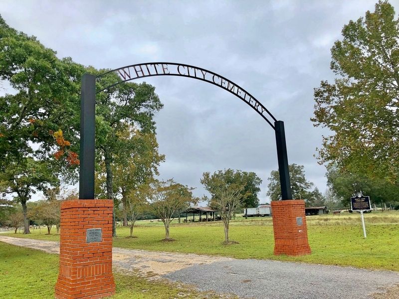
2. White City Cemetery entrance gate and marker.
Photographed by Mark Hilton, October 25, 2020
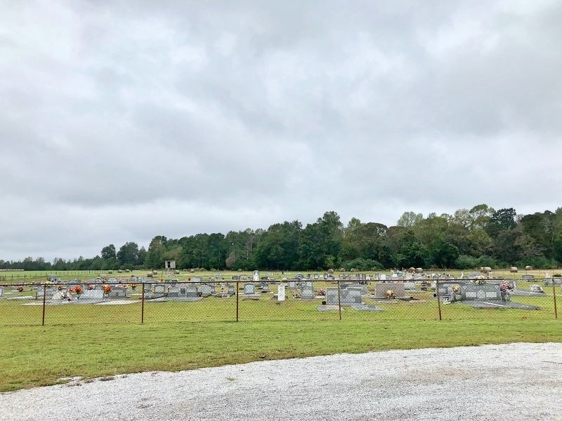
3. White City Cemetery
Photographed by Mark Hilton, October 25, 2020
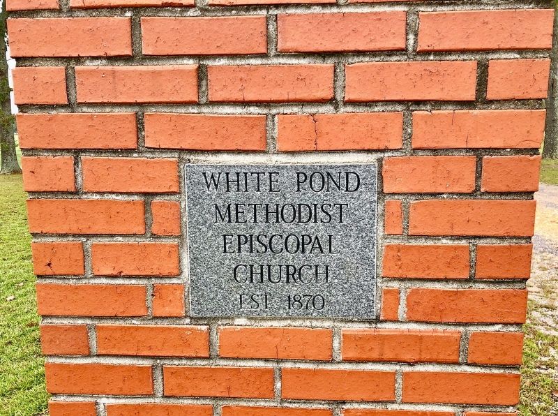
4. White Pond Methodist Episcopal Church formerly owned and supervised the cemetery.
Photographed by Mark Hilton, October 25, 2020
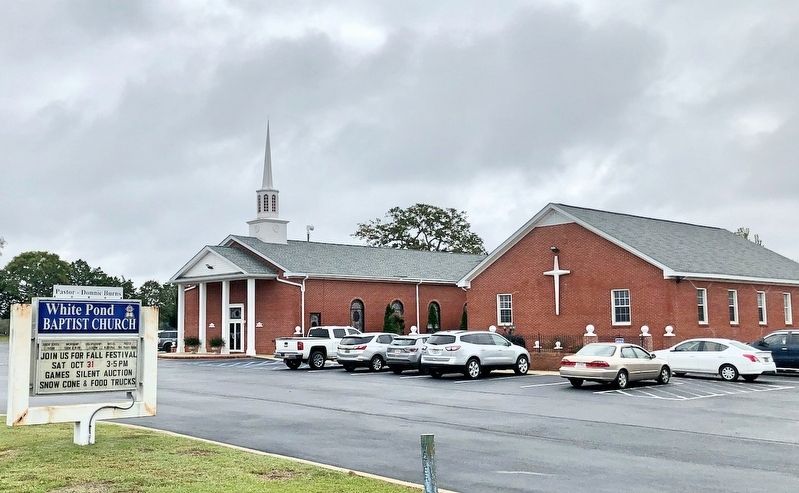
5. The nearby White Pond Baptist Church now maintains the cemetery.
Credits. This page was last revised on October 25, 2020. It was originally submitted on October 25, 2020, by Mark Hilton of Montgomery, Alabama. This page has been viewed 1,172 times since then and 98 times this year. Photos: 1, 2, 3, 4, 5. submitted on October 25, 2020, by Mark Hilton of Montgomery, Alabama.
