Near Princeton in Caldwell County, Kentucky — The American South (East South Central)
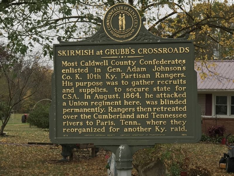
Skirmish at Grubb's Crossroads
Inscription.
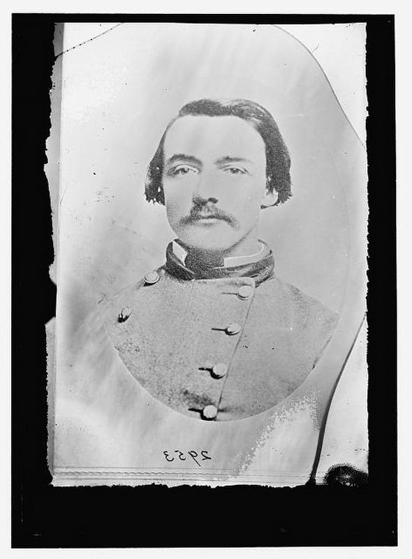
Most Caldwell County Confederates enlisted in Gen. Adam Johnson's Co. K, 10th Ky. Partisan Rangers. His purpose was to gather recruits and supplies, to secure state for
CSA. In August, 1864, he attacked a Union regiment here, was blinded permanently. Rangers then retreated over the Cumberland and Tennessee rivers to Paris, Tenn., where they
reorganized for another Ky. raid.
Erected 1978 by Kentucky Historical Society; Kentucky Department of Transportation. (Marker Number 1630.)
Topics and series. This historical marker is listed in this topic list: War, US Civil. In addition, it is included in the Kentucky Historical Society series list. A significant historical month for this entry is August 1864.
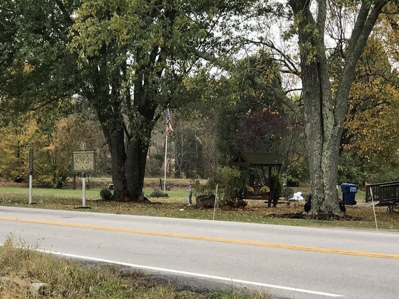
Location. 37° 3.408′ N, 87° 45.99′ W. Marker is near Princeton, Kentucky, in Caldwell County. Marker is at the intersection of Hopkinsville Road (State Road 91) and Friendship Road, on the right when traveling south on Hopkinsville Road. Touch for map. Marker is at or near this postal address: 15186 Hopkinsville Road, Princeton KY 42445, United States of America. Touch for directions.
Other nearby markers. At least 8 other markers are within 8 miles of this marker, measured as the crow flies. Ranger Leader Blinded (within shouting distance of this marker); The Night Rider Movement (approx. 4.6 miles away); U.K. Research and Education Center (approx. 5.8 miles away); Cerulean Springs / Cerulean Springs Hotel (approx. 7 miles away); William Prince (approx. 7.2 miles away); Shandy Hall (Princeton) (approx. 7.2 miles away); William Prince, 1752-1810 / Founder of Princeton (approx. 7.2 miles away); a different marker also named Shandy Hall (Princeton) (approx. 7.3 miles away). Touch for a list and map of all markers in Princeton.
Credits. This page was last revised on October 27, 2020. It was originally submitted on October 26, 2020, by Duane and Tracy Marsteller of Murfreesboro, Tennessee. This page has been viewed 295 times since then and 34 times this year. Photos: 1, 2, 3. submitted on October 26, 2020, by Duane and Tracy Marsteller of Murfreesboro, Tennessee. • Bernard Fisher was the editor who published this page.


