Farley in McCracken County, Kentucky — The American South (East South Central)
Clark's Army Camped / Clark's Land
Inscription.
(side 1)
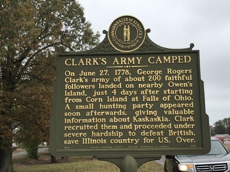
Clark's Army Camped
On June 27, 1778, George Rogers Clark's army of about 200 faithful followers landed on nearby Owen's Island, just 4 days after starting from Corn Island at Falls of Ohio. A small hunting party appeared soon afterwards, giving valuable information about Kaskaskia. Clark recruited them and proceeded under severe hardship to defeat British, save Illinois country for US. Over
(side 2)
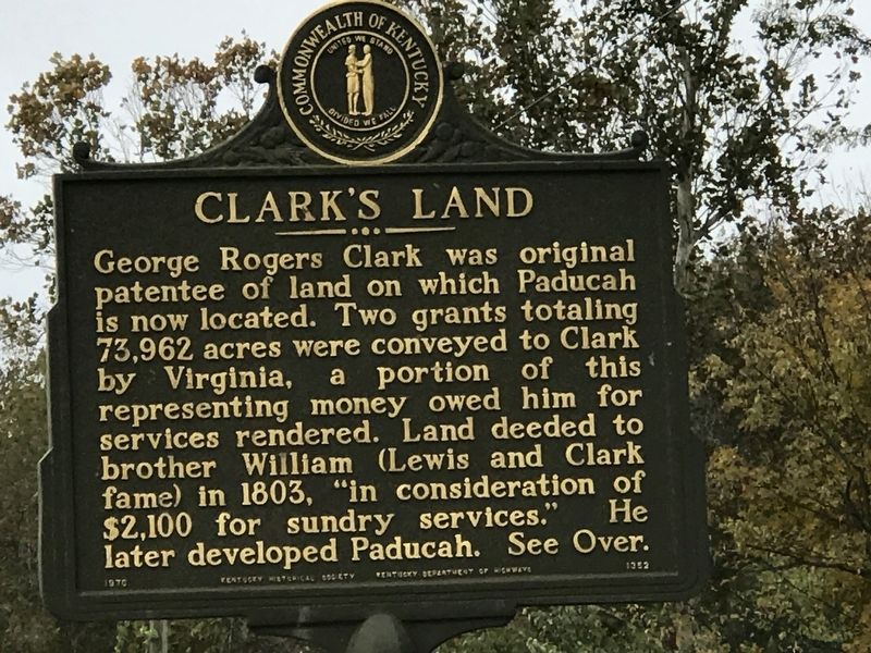
Clark's Land
George Rogers Clark was original patentee of land on which Paducah is now located. Two grants totaling 73,962 acres were conveyed to Clark by Virginia, representing money owed him for services rendered. Land deeded to brother William (Lewis and Clark fame) in 1803, “in consideration of $2,100 for sundry services.” He later developed Paducah. See Over.
Erected 1970 by Kentucky Historical Society; Kentucky Department of Highways. (Marker Number 1352.)
Topics. This historical marker is listed in these topic lists: Native Americans • Settlements & Settlers • War, US Revolutionary. A significant historical date for this entry is June 27, 1778.
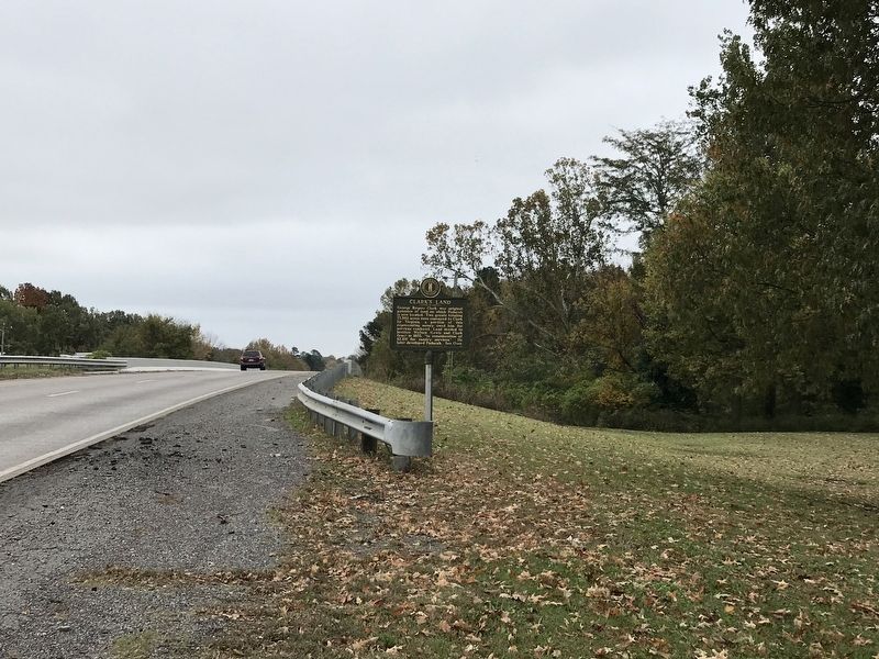
Location. 37° 2.642′ N, 88° 32.927′ W. Marker is in Farley, Kentucky, in McCracken County. Marker is on Clarks River Road (U.S. 62) south of Indian Oaks Trailer Park, on the right when traveling south. Touch for map. Marker is at or near this postal address: 4171 Clarks River Road, Paducah KY 42003, United States of America. Touch for directions.
Other nearby markers. At least 8 other markers are within 4 miles of this marker, measured as the crow flies. Paducah, Kentucky / McCracken County (approx. 1˝ miles away); Confederate Flag of Welcome / Rescue of Flag (approx. 2.6 miles away); Paducah Furnace / Iron Made in Kentucky (approx. 3.3 miles away); Col. Ed Murray's Home (approx. 3.6 miles away); Burks Chapel A.M.E. Church (approx. 3.6 miles away); 8th of August (approx. 3.8 miles away); Cobb's Birth Site (approx. 3.8 miles away); Paducah Coca-Cola Bottling Company (approx. 3.8 miles away).
Credits. This page was last revised on October 27, 2020. It was originally submitted on October 26, 2020, by Duane and Tracy Marsteller of Murfreesboro, Tennessee. This page has been viewed 349 times since then and 47 times this year. Photos: 1, 2, 3, 4. submitted on October 26, 2020, by Duane and Tracy Marsteller of Murfreesboro, Tennessee. • Bernard Fisher was the editor who published this page.


