
Dover in Stewart County, Tennessee — The American South (East South Central)
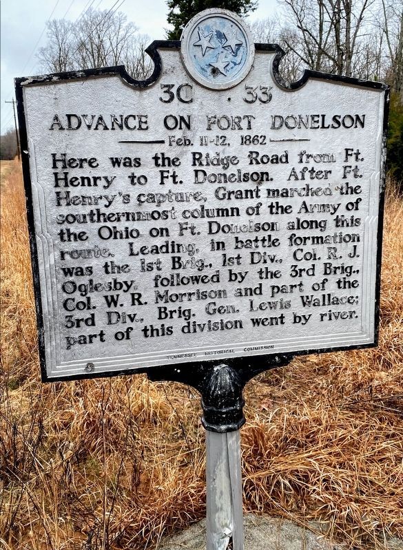
Advance On Fort Donelson
Feb 11-12, 1862
Photographed by Shane Oliver, March 12, 2021
1. Advance On Fort Donelson Marker
The marker has been reinstalled.
Erected by Tennessee Historical Commission. (Marker Number 3C 33.)
Topics and series. This historical marker is listed in this topic list: War, US Civil. In addition, it is included in the Tennessee Historical Commission series list.
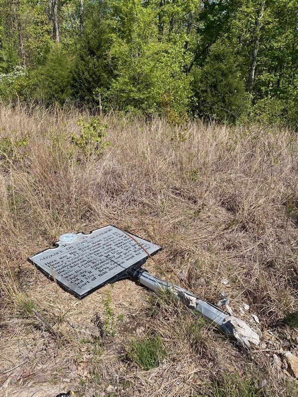
Location. 36° 28.453′ N, 87° 57.36′ W. Marker has been reported damaged. Marker is in Dover, Tennessee, in Stewart County. It is on Old Tennessee 76 half a mile south of Donelson Parkway (U.S. 79), on the right when traveling east. Touch for map. Marker is in this post office area: Dover TN 37058, United States of America. Touch for directions.

Regionally, this marker is in Middle Tennessee and in the Highland Rim. It is also in the American South
this page online
Other nearby markers. At least 8 other markers are within 5 miles of this location, measured as the crow flies: Advance on Fort Donelson (approx. 3.2 miles away); Fort Henry (approx. 3.4 miles away); Site of Fort Henry (approx. 4 miles away); Brigadier General John A. McClernand’s Division (approx. 4.1 miles away); U.S.A. Headquarters of Brigadier General U.S. Grant (approx. 4.4 miles away); a different marker also named Fort Henry (approx. 4½ miles away); Brigadier General Charles F. Smith’s Division (approx. 4.7 miles away); Battle of Fort Henry (approx. 4.8 miles away). Touch for a list and map of all markers in Dover.
Photographed by Michael Manning, September 3, 2014
2. Advance On Fort Donelson Marker
Photographed by Darren Jefferson Clay, April 18, 2020
3. Advance On Fort Donelson Marker
Credits. This page was last revised on May 11, 2021. It was originally submitted on December 7, 2014, by Michael Manning of Woodlawn, Tennessee. This page has been viewed 929 times since then and 26 times this year. Last updated on October 28, 2020, by Darren Jefferson Clay of Duluth, Georgia. Photos: 1. submitted on May 10, 2021, by Shane Oliver of Richmond, Virginia. 2. submitted on December 7, 2014, by Michael Manning of Woodlawn, Tennessee. 3. submitted on October 28, 2020, by Darren Jefferson Clay of Duluth, Georgia. • Devry Becker Jones was the editor who published this page.
