Forming a Pinnacle
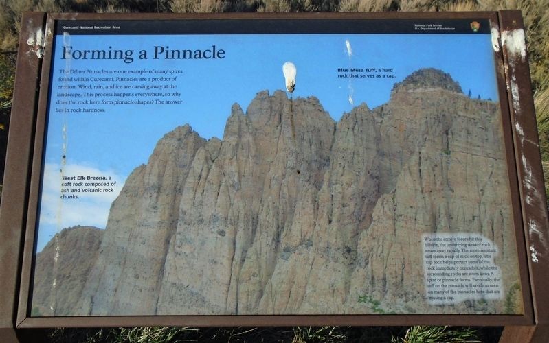
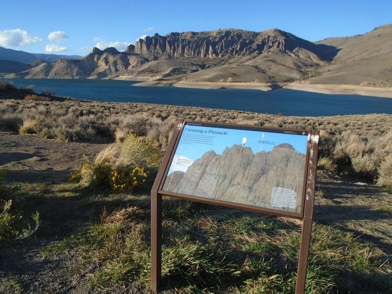
The Dillon Pinnacles are one example of many spires found within Curecanti. Pinnacles are a product of erosion. Wind, rain, and ice are carving away at the landscape. This process happens everywhere, so why does the rock here form pinnacle shapes? The answer lies in rock hardness.
When the erosive forces hit this hillside, the underlying weaker rock wears away rapidly. The more resistant tuff forms a cap of rock on top. The cap rock helps protect some of the rock immediately beneath it, while the surrounding rocks are worn away. A spire or pinnacle forms. Eventually, the tuff on the pinnacle will erode as seen on many of the pinnacles here that are missing a cap.
[Background photo captions read]
• West Elk Breccia, a soft rock composed of ash and volcanic rock chunks.
• Blue Mesa Tuff, a hard rock that serves as a cap.
Erected by National Park Service.
Topics. This historical marker is listed in this topic list: Natural Features.
Location. 38° 27.914′ N, 107° 15.851′ W. Marker is near Gunnison, Colorado, in Gunnison County. Marker is on U.S. 50, on the right when traveling west. Marker is at the Dillon Pinnacles scenic pulloff in Curecanti National Recreation Area, about
Other nearby markers. At least 6 other markers are within 9 miles of this marker, measured as the crow flies. If You Only Knew (here, next to this marker); Wayne N. Aspinall (approx. 2.2 miles away); Crossing the Canyon (approx. 2.2 miles away); Trains and Trout (approx. 3˝ miles away); Storage Units (approx. 4.4 miles away); a different marker also named Trains and Trout (approx. 8.4 miles away).
Also see . . .
1. Curecanti National Recreation Area Natural Features & Ecosystems. (Submitted on October 28, 2020, by William Fischer, Jr. of Scranton, Pennsylvania.)
2. Pinnacles National Park Geology. (Submitted on October 28, 2020, by William Fischer, Jr. of Scranton, Pennsylvania.)
Credits. This page was last revised on October 28, 2020. It was originally submitted on October 28, 2020, by William Fischer, Jr. of Scranton, Pennsylvania. This page has been viewed 241 times since then and 22 times this year. Photos: 1, 2. submitted on October 28, 2020, by William Fischer, Jr. of Scranton, Pennsylvania.

