Narrow Path to Prosperity
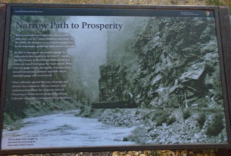
When you build a new railroad, what possible difference can 20½ inches between rails make? In the 1880s, the decisions to use a narrow gauge here in the mountains opened up trade across Colorado.
In 1863 Congress set the standard guage for railroads in this country to be 4 feet 8½ inches. But the Denver & Rio Grande Railroad chose a more narrow, 3-foot gauge for their system. Why? Narrow gauge tracks can nimbly negotiate turns around mountains, canyons and cliffs where standard gauge rails won't work.
Once railroads opened the way, telegraph and electric lines followed. Miners, farmers, and cattlemen benefitted; the economy thrived. Choosing to build narrow gauge railroads put Colorado on a path to prosperity for generations.
[Background photo caption reads]
Narrow gauge trains chugged up and down the tracks along the steep walls of Black Canyon.
Erected by National Park Service.
Topics. This historical marker is listed in these topic lists: Agriculture • Industry & Commerce • Railroads & Streetcars • Settlements & Settlers. A significant historical year for this entry is 1863.
Location. 38° 26.595′ N, 107° 33.313′ W. Marker is in Cimarron, Colorado, in Montrose County. Marker is on Morrow Point
Other nearby markers. At least 8 other markers are within 11 miles of this marker, measured as the crow flies. Working on the Railroad (here, next to this marker); Geography Sets the Stage (a few steps from this marker); From Mountain to Table (within shouting distance of this marker); All Aboard (approx. 0.7 miles away); Building a Dam (approx. 7.7 miles away); Light at the End of the Tunnel (approx. 7.7 miles away); Black Canyon of the Gunnison National Park (approx. 10.3 miles away); Pegmatite Dikes (approx. 10˝ miles away). Touch for a list and map of all markers in Cimarron.
Also see . . .
1. Narrow Gauge Railroad. (Submitted on October 29, 2020, by William Fischer, Jr. of Scranton, Pennsylvania.)
2. Historic Cimarron. (Submitted on October 29, 2020, by William Fischer, Jr. of Scranton, Pennsylvania.)
Credits. This page was last revised on October 29, 2020. It was originally submitted on October 29, 2020, by William Fischer, Jr. of Scranton, Pennsylvania. This page has been viewed 108 times since then and 3 times this year. Photos: 1, 2. submitted on October 29, 2020, by William Fischer, Jr. of Scranton, Pennsylvania.

