Near Defiance in Defiance County, Ohio — The American Midwest (Great Lakes)
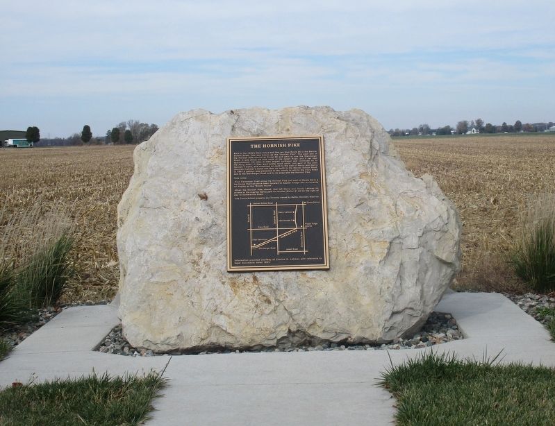
The Hornish Pike
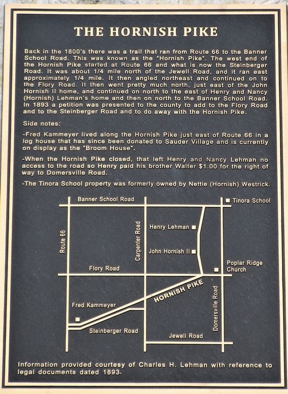
Back in the 1800’s there was a trail that ran from Route 66 to the Banner School Road. This was known as the “Hornish Pike”. The west end of the Hornish Pike started at Route 66 and what is now the Steinberger Road. It was about ¼ mile north of Jewell Road, and ran east approximately ¼ mile. It then angled northeast and continued on to the Flory Road. It then went pretty much north, just east of the John Hornish II home, and continued on north to the east of Henry and Nancy (Hornish) Lehman’s home and then on north to the Banner School Road. In 1893 a petition was presented to the county to add the Flory Road and to the Steinberger Road and to do away with the Hornish Pike.
Side notes:
- Fred Kammeyer lived along the Hornish Pike just east of Route 66 in a log house that has since been donated to Sauder Village and is currently on display as the “broom House”.
- When the Hornish Pike closed, that left Henry and Nancy Lehman no access to the road so Henry paid his brother Walter $1.00 for the right of way to Domersville Road.
- The Tinora School property was formerly owned by Nettie (Hornish) Westrick.
Topics. This historical marker is listed in these topic lists: Roads & Vehicles • Settlements & Settlers. A significant historical year for this entry is 1893.
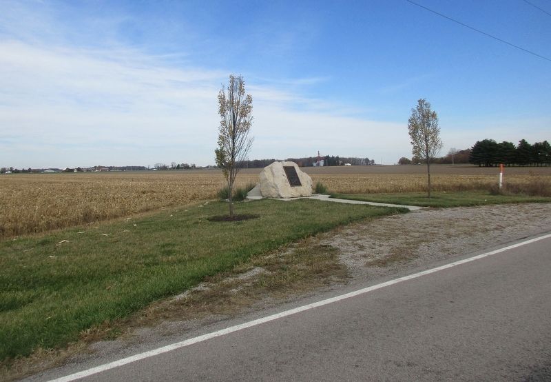
Location. 41° 20.439′ N, 84° 19.681′ W. Marker is near Defiance, Ohio, in Defiance County. Marker is at the intersection of Flory Road (County Road 68) and Domersville Road (County Road 175), on the right when traveling west on Flory Road. The marker is on the North side of Road 68, about 600 feet West of Road 175. Touch for map. Marker is at or near this postal address: 25776 Flory Rd, Defiance OH 43512, United States of America. Touch for directions.
Other nearby markers. At least 8 other markers are within 4 miles of this marker, measured as the crow flies. Little Turtle (Me-she-kin-o-quah) (approx. 3.4 miles away); Last WWII Concentration Camp (approx. 3½ miles away); Juan M. Castillo (approx. 3.6 miles away); Winchester's Camp #2 / Preston Island (approx. 3.6 miles away); Coohcooche (approx. 3.7 miles away); Shawnee Glen (approx. 3.7 miles away); Johnny Appleseed (approx. 3.8 miles away); Chief Pontiac (approx. 3.8 miles away). Touch for a list and map of all markers in Defiance.
Credits. This page was last revised on October 30, 2020. It was originally submitted on October 30, 2020, by Rev. Ronald Irick of West Liberty, Ohio. This page has been viewed 123 times since then and 24 times this year. Photos: 1, 2, 3. submitted on October 30, 2020, by Rev. Ronald Irick of West Liberty, Ohio. • Devry Becker Jones was the editor who published this page.


