Baker in San Bernardino County, California — The American West (Pacific Coastal)
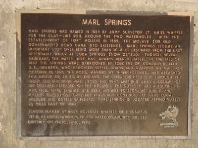
Marl Springs
⎯⎯⎯
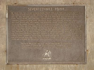
Seventeenmile Point
Photographed by Barry Swackhamer, October 13, 2011
1. Marl Springs Marker
this page online
Erected 1993 by Billy Holcomb Chapter No. 1069, E Clampus Vitus in cooperation with the Baker Community Services. (Marker Number 74.)
Topics and series. This historical marker is listed in these topic lists:
Photographed by Barry Swackhamer
2. Seventeenmile Point Marker
Location. 35° 16.396′ N, 116° 3.763′ W. Marker is in Baker, California, in San Bernardino County. It is on Baker Boulevard (Business Interstate 15) east of Caltrans Boulevard, on the right when traveling west. Touch for map. Marker is at or near this postal address: 72730 Baker Boulevard, Baker CA 92309, United States of America. Touch for directions.

Regionally, this marker is in Greater Los Angeles, in the Mojave Desert, in the Peninsular Ranges, and specifically in the Transverse Ranges. It is also in the American Southwest. Globally, it is in North America, on the Ring of Fire, on the Pacific Rim, in the Western Hemisphere, in the Western World, and in the Anglosphere. Historically, it finds itself in what was once New Spain and also Mexico’s Alta California.
Other nearby markers. At least 8 other markers are within 14 miles of this marker, measured as the crow flies: Bun Boy Restaurant (approx. ¾ mile away); World’s Tallest Thermometer
Photographed by Barry Swackhamer, October 13, 2011
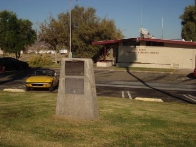
3. Marl Springs / Seventeenmile Point Markers
More about this marker. Marl Springs
There are stone ruins at the springs believed to have been used by the U.S. Army during its period of duty in the 1860's. Most of the traffic used the northern route around the north end of the Old Dad Mountain after 1859. The southern route climbed up over the Old Dad Mountains and was another one of the great western transportation challenges. Many of the team's ears had the hair blistered "clean off" from the loud but well-meant encouragement offered by the drivers to urge that extra inch of effort going over this tough stretch of road. SOURCE: Billy Holcomb Chapter 1069 35th Anniversary Plaque Book by Phillip Holdaway
Seventeenmile Point
It was on the long, dry haul from Soda Springs to Seventeenmile Point, like
Photographed by Michael Kindig, November 22, 2009
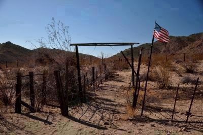
4. Marl Springs
Located approximately 25 miles east of the marker within the Mojave National Preserve (35 10.147N -115 38.891W)
SOURCE: Billy Holcomb Chapter 1069 35th Anniversary Plaque Book by Phillip Holdaway
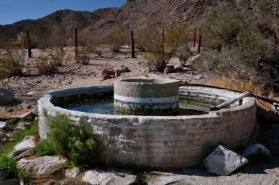
Photographed by Michael Kindig, November 22, 2009
5. Marl Springs (Lower Spring)
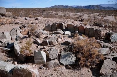
Photographed by Michael Kindig, November 22, 2009
6. Arrastra at Marl Springs
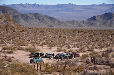
Photographed by Michael Kindig, November 27, 2010
7. Marl Springs
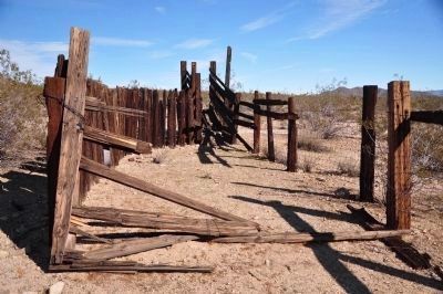
Photographed by Michael Kindig, November 27, 2010
8. Marl Springs
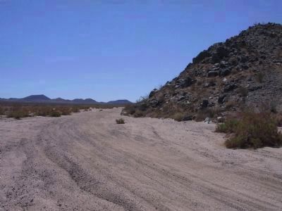
Photographed by Michael Kindig, May 6, 2007
9. Seventeenmile Point
Located approximately 12 miles east of the marker within the Mojave National Preserve (35 13.230N -115 53.399W)
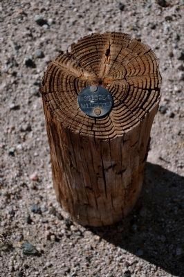
Photographed by Michael Kindig, November 22, 2009
10. Seventeenmile Point (Benchmark)
Credits. This page was last revised on April 18, 2023. It was originally submitted on December 13, 2011. This page has been viewed 1,739 times since then and 89 times this year. Last updated on October 31, 2020, by Craig Baker of Sylmar, California. Photos: 1, 2, 3. submitted on December 13, 2011, by Barry Swackhamer of Brentwood, California. 4, 5, 6, 7, 8, 9, 10. submitted on December 21, 2011, by Michael Kindig of Elk Grove, California. • J. Makali Bruton was the editor who published this page.
