Mexia in Limestone County, Texas — The American South (West South Central)
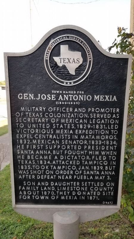
Town Named for Gen. Jose Antonio Mexia
(1800 - 1839)
Military officer and promoter of Texas Colonization. Served as Secretary of Mexican Legation to United States, 1829-1831. Led victorious Mexia Expedition to expel Centralists in Matamoros. 1832. Mexican senator, 1833-1834; he first supported President Santa Anna, but fought him when he became a dictator. Fled to Texas, 1834. Attacked Tampico in 1835. Took Tampico, Jan. 1839, but was shot on order of Santa Anna after defeat near Puebla May 3.
Son and daughter settled on family land, Limestone County, about 1870. They donated site for town of Mexia in 1871.
Erected 1967 by State Historical Survey Committee. (Marker Number 5515.)
Topics. This historical marker is listed in this topic list: Hispanic Americans. A significant historical date for this entry is May 3, 1832.
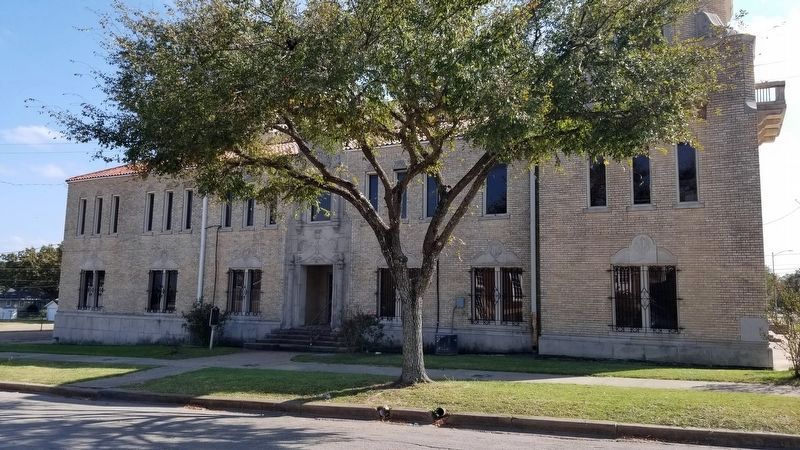
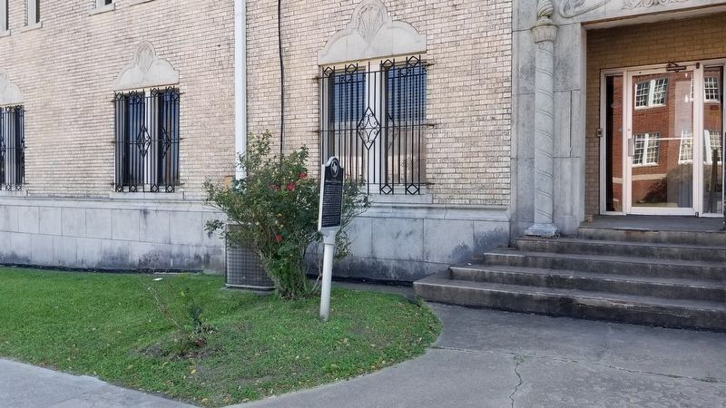
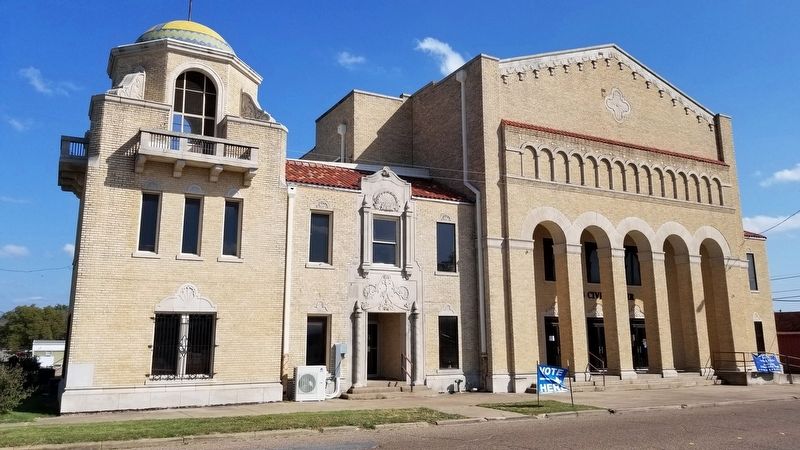
Location. 31° 40.811′ N, 96° 28.937′ W. Marker is in Mexia, Texas, in Limestone County. Marker is at the intersection of East Main Street and South McKinney State, on the left when traveling east on East Main Street. The marker is located on the north side of the Mexia Civic Center building on East Main Street. Touch for map. Marker is at or near this postal address: 101 South McKinney Street, Mexia TX 76667, United States of America. Touch for directions.
Other nearby markers. At least 8 other markers are within 6 miles of this marker, measured as the crow flies. The First Presbyterian Church (approx. 0.2 miles away); Origin of the Texas State Teachers Association (approx. 0.2 miles away); First Baptist Church (approx. ¼ mile away); Miss Rogers' Music Room (approx. 0.8 miles away); Albert R. Mace (approx. 0.9 miles away); Mexia Oil Boom (approx. 1.6 miles away); Joseph E. Johnston Reunion Grounds (approx. 5½ miles away); William Rees (approx. 5.8 miles away). Touch for a list and map of all markers in Mexia.
Also see . . .
1. Media's Expedition. TSHA Texas State Historical Association (Submitted on October 31, 2020, by James Hulse of Medina, Texas.)
2. General Jose Antonio Mexia. Wikipedia (Submitted on October 31, 2020, by James Hulse of Medina, Texas.)
3. Tampico Expedition. Wikipedia (Submitted on October 31, 2020, by James Hulse of Medina, Texas.)
Credits. This page was last revised on November 1, 2020. It was originally submitted on October 31, 2020, by James Hulse of Medina, Texas. This page has been viewed 197 times since then and 30 times this year. Photos: 1, 2, 3, 4. submitted on October 31, 2020, by James Hulse of Medina, Texas. • J. Makali Bruton was the editor who published this page.


