Camp Verde in Yavapai County, Arizona — The American Mountains (Southwest)
Flagpole & Administration Building
Fort Verde, Arizona Territory
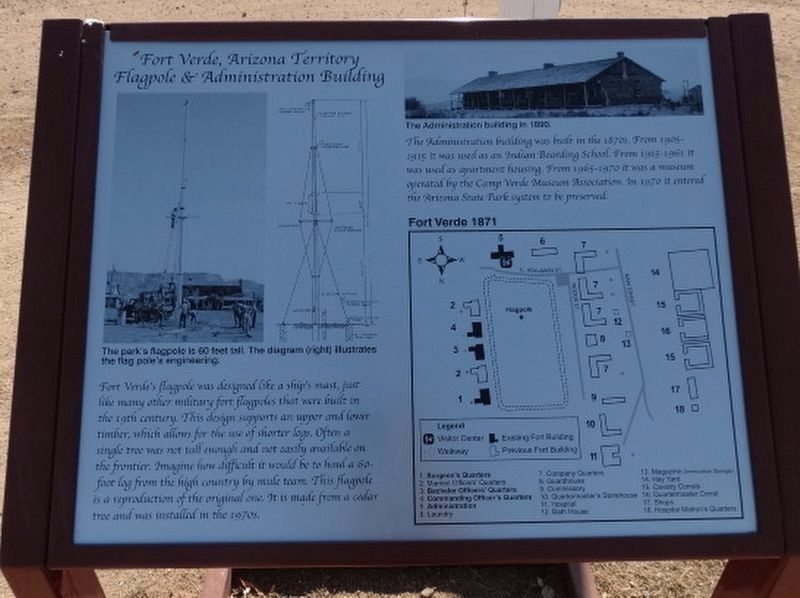
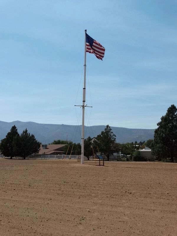
Fort Verde’s flagpole was designed like a ship’s mast, just like many other military fort flagpoles that were built in the 19th century. This design supports an upper and lower timber, which allows for the use of shorter logs. Often a single tree was not tall enough and not easily available on the frontier. Imagine how difficult it would be to haul a 60 foot log from the high country by mule team. This flagpole is a reproduction of the original one. It is made from a cedar tree and was installed in the 1970s.
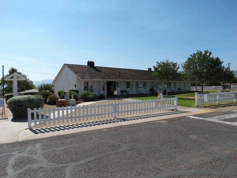
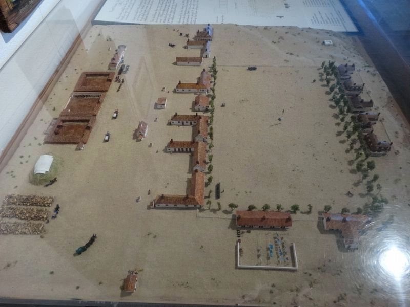
The Administration building was built in the 1870’s. From 1905 – 1915 it was used as an Indian Boarding School. From 1915-1961 it was used as apartment housing. From 1965 – 1970 it was a museum operated by the Camp Verde Museum Association. In 1970 it entered the Arizona State Park system to be preserved.
Topics. This historical marker is listed in these topic lists: Forts and Castles • Wars, US Indian. A significant historical year for this entry is 1905.
Location. 34° 33.898′ N, 111° 51.166′ W. Marker is in Camp Verde, Arizona, in Yavapai County. Marker can be reached from E Hollamon Street when traveling north. Touch for map. Marker is at or near this postal address: 125 E Hollamon Street, Camp Verde AZ 86322, United States of America. Touch for directions.
Other nearby markers. At least 8 other markers are within walking distance of this marker. Site of Married Officers' Quarters (within shouting distance of this marker); a different marker also named Site of Married Officers’ Quarters (within shouting distance of this marker); Officers’ Row (about 300 feet away, measured in a direct line); Surgeon’s Quarters (about 300 feet away); Fort Verde State Historic Park (about 400 feet away); "0" Mile Post General Crook Trail (about 400 feet away); The Congressional Medal of Honor - Apache Campaign 1872 - 1873 (about 400 feet away); Wales Arnold (approx. 0.3 miles away). Touch for a list and map of all markers in Camp Verde.
Credits. This page was last revised on January 26, 2021. It was originally submitted on November 1, 2020, by Denise Boose of Tehachapi, California. This page has been viewed 179 times since then and 17 times this year. Photos: 1, 2, 3, 4, 5, 6. submitted on November 1, 2020, by Denise Boose of Tehachapi, California. • J. Makali Bruton was the editor who published this page.
