Death Valley National Park in Inyo County, California — The American West (Pacific Coastal)
An Architectural Heritage
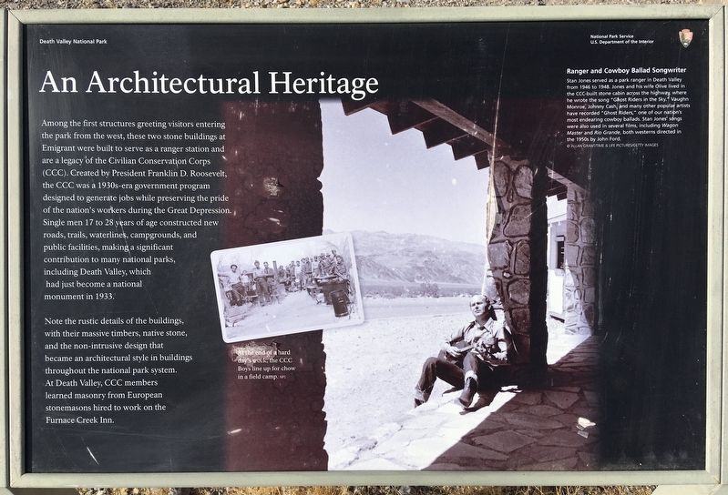
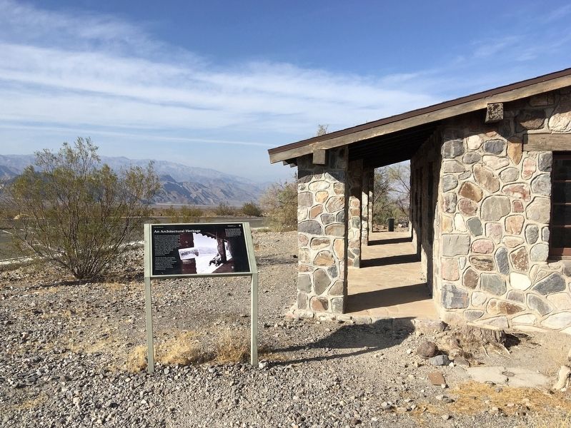
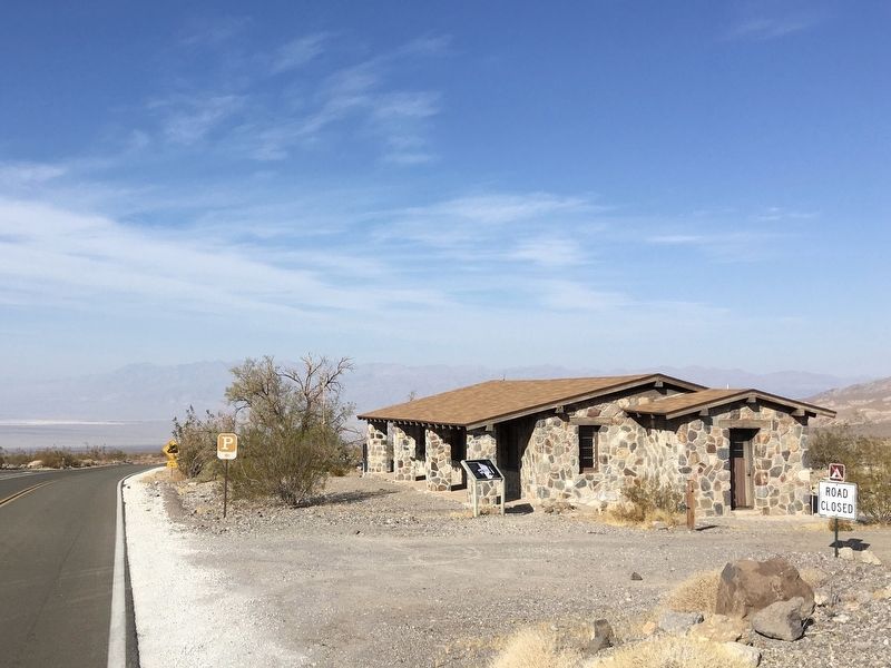
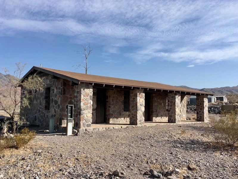
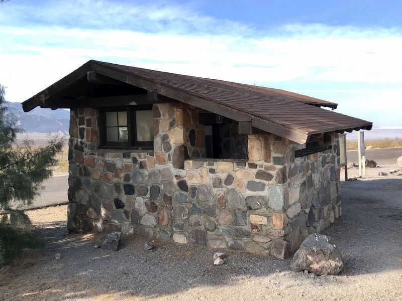
Among the first structures greeting visitors entering the park from the west, these two stone buildings at Emigrant were built to serve as a ranger station and are a legacy of the Civilian Conservation Corps (CCC). Created by President Franklin D. Roosevelt, the CCC was a 1930s-era government program designed to generate jobs while preserving the pride of the nation's workers during the Great Depression. Single men 17 to 28 years of age constructed new roads, trails, waterlines, campgrounds, and public facilities, making a significant contribution to many national parks, including Death Valley, which had just become a national monument in 1933.
Note the rustic details of the buildings, with their massive timbers, native stone, and the non-intrusive design that became an architectural style in buildings throughout the national park system. At Death Valley, CCC members learned masonry from European stonemasons hired to work on the Furnace Creek Inn.
Ranger and Cowboy Ballad Songwriter
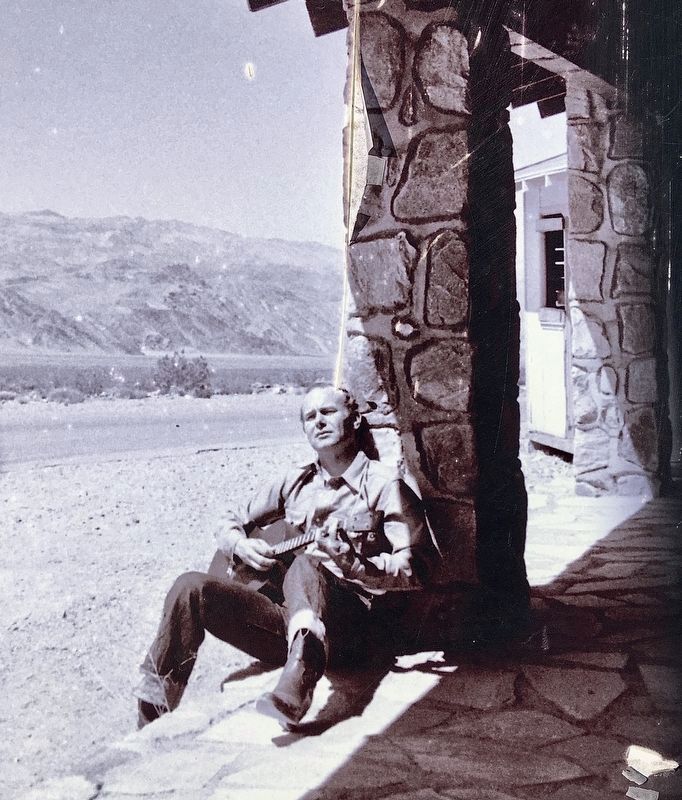
Stan Jones served as a park ranger in Death Valley from 1946 to 1948. Jones and his wife Olive lived in the CCC-built stone cabin, where he wrote the song “Ghost Riders in the Sky.” Vaughn Monroe, Johnny Cash, and many other popular artists have recorded “Ghost Riders,” one of our nation's most endearing cowboy ballads. Stan Jones' songs were also used in several films, including Wagon Master and Rio Grande, both westerns directed in the 1950s by John Ford.
Erected by National Park Service.
Topics and series. This historical marker is listed in these topic lists: Architecture • Arts, Letters, Music • Entertainment • Parks & Recreational Areas. In addition, it is included in the Civilian Conservation Corps (CCC) series list. A significant historical year for this entry is 1946.
Location. 36° 29.868′ N, 117° 13.604′ W. Marker is in Death Valley National Park, California, in Inyo County. Marker is on California Route 190, 0.2 miles east of Emigrant Canyon Road, on the right when traveling east. Touch for map. Marker is in this post office area: Death Valley CA 92328, United States of America. Touch for directions.
Other nearby markers. At least 8 other markers are within 12 miles of this marker, measured as the crow flies. Skidoo Mill (approx. 5.8 miles away); Journigan’s Mill (approx. 6.3 miles away); Skidoo (approx. 6.6 miles away); Eichbaum Toll Road (approx. 8.7 miles away); Road To Adventure (approx. 8.7 miles away); Burned Wagons Point (approx. 8.8 miles away); Death Valley’s First Tourist Resort (approx. 8.9 miles away); Aguereberry Camp (approx. 11.4 miles away). Touch for a list and map of all markers in Death Valley National Park.
Regarding An Architectural Heritage.
‘Ghost Riders in The Sky’ was written by Stan Jones while sitting on the porch of this cabin and watching clouds go by.
During filming of ‘Three Godfathers’ at the nearby sand dunes, John Wayne encouraged Jones to record his music.
Credits. This page was last revised on November 19, 2022. It was originally submitted on November 4, 2020, by Craig Baker of Sylmar, California. This page has been viewed 172 times since then and 17 times this year. Photos: 1, 2, 3, 4, 5, 6. submitted on November 4, 2020, by Craig Baker of Sylmar, California. • J. Makali Bruton was the editor who published this page.
