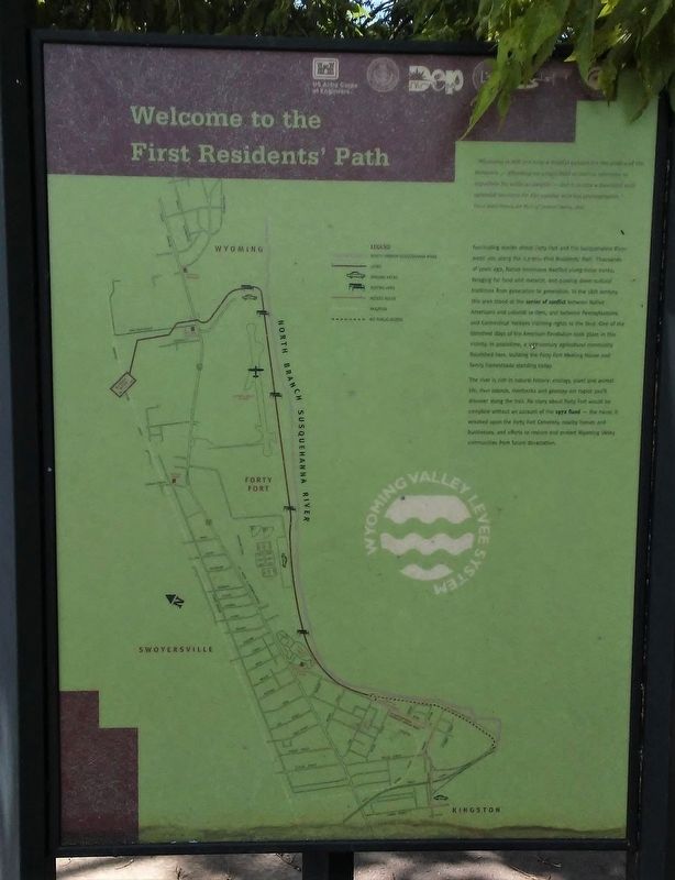
Welcome to the First Residents' Path
Wyoming Valley Levee System
"Wyoming is still not only a fruitful subject for the poet and the historian — affording an ample field of matter whereon to expatiate [to write at length] — but it is also a beautiful and splendid territory for the painter and the photographer."
Oscar Jewell Harvey, Art Work of Luzerne County, 1897
Fascinating stories about Forty Fort and the Susquehanna River await you along the 2.7 mile First Residents' Path. Thousands of years ago, Native Americans dwelled along these banks, foraging for food and material, and passing down cultural traditions from generation to generation. In the 18th century, this area stood at the center of conflict between Native Americans and colonial settlers, and between Pennsylvanians and Connecticut Yankees claiming rights to the land. One of the bloodiest days of the American Revolution took place in this vicinity. In peacetime, a 19th-century agricultural community flourished here, building the Forty Fort Meeting House and family homesteads standing today.
The river is rich in natural history: ecology, plant and animal life, river islands, riverbanks and geology are topics you'll discover along the trail. No story about Forty Fort would be complete without an account of the 1972 Flood — the havoc it wreaked upon the Forty Fort Cemetery, nearby
homes and businesses, and efforts to restore and protect Wyoming Valley communities from future devastation.Erected by Delaware & Lehigh National Heritage Corridor and Others.
Topics. This historical marker is listed in these topic lists: Disasters • Native Americans • Settlements & Settlers • Waterways & Vessels. A significant historical year for this entry is 1897.
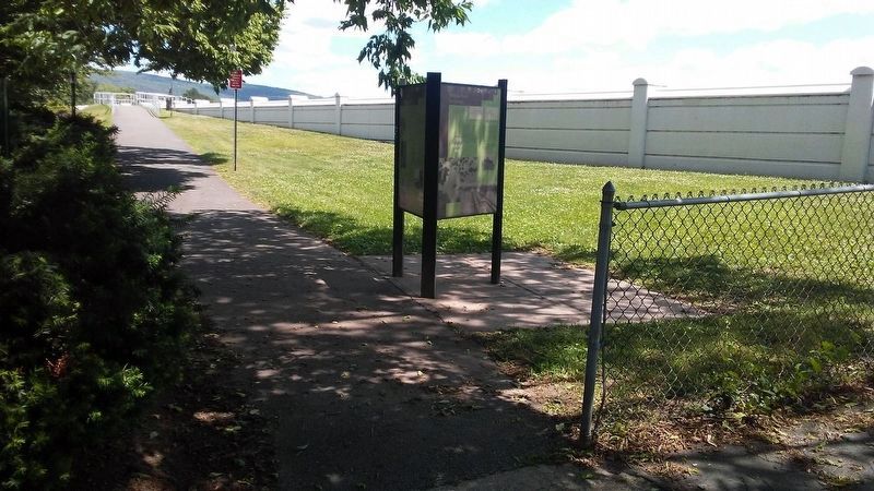
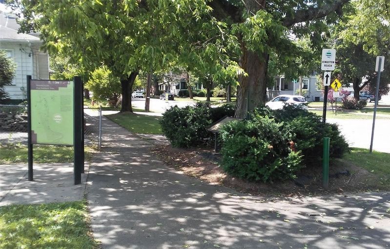
Location. 41° 16.75′ N, 75° 52.32′ W. Marker is in Forty Fort, Pennsylvania, in Luzerne County. Marker is on River Street north of Fort Street, on the right when traveling north. Touch for map. Marker is in this post office area: Kingston PA 18704, United States of America. Touch for directions.
Other nearby markers. At least 8 other markers are within walking distance of this marker. What on Earth is a Levee? (here, next to this marker); Trailing Along (here, next to this marker); The Fort in Forty Fort (a few steps from this marker); Forty-Fort (within shouting distance of this marker); Forty Fort Meeting House (approx. 0.4 miles away); Wyoming Seminary Presidents' Lost Graves Memorial (approx. 0.4 miles away); James Bird (approx. 0.4 miles away); War Memorial (approx. 0.4 miles away). Touch for a list and map of all markers in Forty Fort.
Also see . . .
1. Neighbor vs. Neighbor in the Wyoming Valley. (Submitted on November 5, 2020, by William Fischer, Jr. of Scranton, Pennsylvania.)
2. Hurricane Agnes documentary on WBRE-TV (1992)
3. US Army Corps of Engineers TP-37, Downstream Effects of the Levee Overtopping at W-B (1973). (Submitted on November 5, 2020, by William Fischer, Jr. of Scranton, Pennsylvania.)
4. Delaware & Lehigh National Heritage Corridor. (Submitted on November 5, 2020, by William Fischer, Jr. of Scranton, Pennsylvania.)
Credits. This page was last revised on November 5, 2020. It was originally submitted on November 5, 2020, by William Fischer, Jr. of Scranton, Pennsylvania. This page has been viewed 157 times since then and 18 times this year. Photos: 1, 2, 3. submitted on November 5, 2020, by William Fischer, Jr. of Scranton, Pennsylvania.


